 MineArchive
Wheal Friendship
| Location | Mary Tavy, Devon — 50.5859, -4.1058 (approximate) |
|---|---|
| Commodities | Copper, Arsenic, Lead, Tin |
| Type | Metal |
| Worked | late 18th century–1950s |
| Operators | John Taylor (1798–?) |
Overview
Wheal Friendship, at Mary Tavy on the western edge of Dartmoor, was one of Devon's largest copper mines and, later, one of Britain's principal sources of arsenic — a 130-year working life that shaped the village around it and launched the career of one of Britain's most influential mining engineers, John Taylor.
History
Wheal Friendship was worked for around 130 years from the late 18th century, extending underground from beneath Mary Tavy's own village street east to the Tavy valley and nearly a mile westward beyond it — second only to Devon Great Consols in scale among the district's copper mines. John Taylor took over the mine's management in 1798, still in his twenties, and it was here that he made his name before going on to manage mines across Britain, including Magpie Mine in Derbyshire, Greenside Mine in Cumbria and Coniston Copper Mines; he sank a further new shaft in 1826 and drove an extensive system of leats to power the site with water rather than coal. Copper mining was highly profitable from the late 18th century until around 1870, by which point the mine had produced an estimated 145,805 tons of copper ore, alongside 1,170 tons of lead, 120 tons of tin and 4,343 tons of arsenic. As copper profits fell through the 1870s, the mine's owners shifted its focus decisively to arsenic, then in high demand as an insecticide and pigment: enormous condensing chambers and flues were built, new shafts sunk, and an incline tramway laid to serve the new arsenic works. The mine's main underground working had ended by 1901, though tribute working of dumps and tailings continued on a reduced scale into the 1950s; primary operations are recorded as having formally ceased in July 1925 amid a slump in the arsenic market.
Geology
The mine worked copper, tin and arsenic-bearing lodes associated with the Dartmoor granite, part of the same Cornubian orefield responsible for the mineralisation at nearby Devon Great Consols and Hemerdon.
Geological setting: Hydrothermal Deposits (well documented example), Veins and Lodes (well documented example)
Workings
Water power was central to the mine's operation from the start: over some 40 years John Taylor and his successors brought water in via two long leats from the River Tavy, eventually running 17 leats and waterwheels across the site. A 40-foot waterwheel powered what is described as the world's first railway incline shaft, sunk to the 112-fathom level in 1808, followed by a second incline down to the 200-fathom level in 1826-27. From the 1870s the mine was transformed again by the arsenic works: large calciners roasted the ore, and condensing chambers and flues, connected by an incline tramway, captured the arsenic for processing.
Closure
Primary underground working is recorded as having ended in July 1925 amid a collapse in the arsenic market, though the BGS's own abandonment-plan catalogue records the mine as abandoned in 1901; the working of surface dumps and tailings continued on a much smaller scale into the 1950s.
What remains
Substantial remains survive across the site, including arsenic condensing chambers and flues, three tin-working buddles, the ruins of a 1912 mill, Bennett's and Brenton's shafts, wheelpits, remnants of flat-rod systems that transmitted power from the waterwheels, miners' dry buildings, and the leats and reservoirs that once fed them.
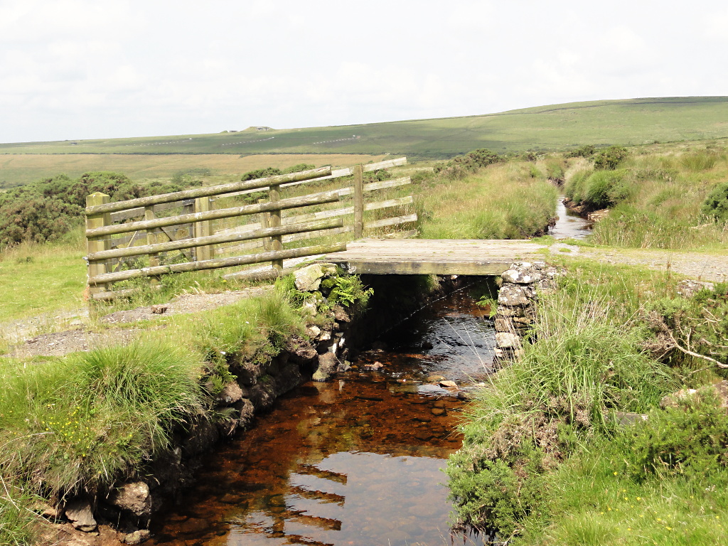
Leats, reservoirs and the calciner ruins of the arsenic works are the most visible surviving features, spread across a wide area either side of the Tavy valley.
Related mines
- Bedford United Mine — The inclined shafts John Taylor developed at Wheal Friendship from 1808 were copied on the Marquis lode of Bedford United by 1828, both being Tavistock Canal mines.
- Coniston Copper Mines — The same manager who made his name at Wheal Friendship went on to manage Coniston Copper Mines, Magpie Mine and Greenside Mine.
- Devon United Mine — North Devon United began as East Wheal Friendship, a southern extension of one of Wheal Friendship's northern lodes, and the Devon United group was worked with Wheal Friendship between 1842 and 1862 and again between 1882 and 1884; the lodes are interconnected between the two banks of the Tavy and the setts share a common origin.
- Greenside Mine — The same manager who made his name at Wheal Friendship went on to manage Greenside Mine, Magpie Mine and Coniston Copper Mines.
- Magpie Mine — The same manager who made his name at Wheal Friendship went on to manage Magpie Mine, Greenside Mine and Coniston Copper Mines.
- Wheal Betsy — The two mines worked alongside each other from around 1816 until separating again in 1837.
- Wheal Crebor — Lysons lists both among the principal copper mines of the Tavistock district, and John Taylor, engineer of the Tavistock Canal, also managed Wheal Friendship.
- Wheal Jewell — The Mary Tavy hydroelectric generators drew on a leat that had originally fed both Wheal Friendship and Wheal Betsy.
Nearby mines
- Wheal Jewell — 0.8 miles (1.3 km) NW
- Devon United Mine — 1.0 miles (1.6 km) NE
- Wheal Betsy — 2.7 miles (4.3 km) S
- Merrivale Quarry — 3.0 miles (4.8 km) SE
- Wheal Crebor — 4.8 miles (7.8 km) SW
Straight-line distance, within 9 miles (15 km). Show on the map.
Recorded claims
Individual factual claims, each attached to the source(s) that support it below. Where sources disagree, both are kept.
- By 1865 the mine had produced an estimated 145,805 tons of copper ore, 1,170 tons of lead, 120 tons of tin and 4,343 tons of arsenic. 1
- Primary operations ceased in July 1925 amid a slump in the arsenic market, though tribute working of dumps and tailings continued into the 1950s; the BGS abandonment-plan catalogue separately records the mine as abandoned in 1901. 1,2
- In 1880 the mine's name was changed to Devon Friendship. Work ceased in 1900 and resumed in 1907, and in 1912 the mine was taken over by Wheal Jewell and Marytavy Mines Limited; it closed in 1925, with limited reworking in the 1930s, 1940s and 1950s. 3
- The world's first railway incline shaft, worked by a forty-foot waterwheel, was sunk here to the 112-fathom level in 1808, followed by a second in 1826-27 down to the 200-fathom level and a third in 1834-36 named after Henry Brenton. Inclined shafts became a characteristic feature of any mine John Taylor managed and were copied at Wheal Crebor and on the Marquis lode of Bedford United. 3
- The structural remains of buildings and machinery, and the earthwork and buried remains of the mine worked between 1700 and 1925, carry a SHINE designation; the site is National Monuments Record SX57NW87 and National Record of the Historic Environment 439970. 3
- The Monuments Protection Programme assessment found the site particularly important for showing John Taylor's developments — his first mining experience — in water power, surface mine organisation and mechanised ore dressing, the sett being linked by tramways, leats and flat-rod runs. 3
Photographs & further reading
A long compiled record with a bibliography running from de la Beche in 1839 to Waterhouse in 2017: the two principal lodes, the seventeen waterwheels, the inclined shafts, the 1880 renaming, the 1912 takeover and the arsenic works.
View sourceSources
- (secondary) Wheal Friendship (1870s to 1950s) — Dartmoor Explorations
- (primary) Wheal Friendship Mine Plan (BGS Mine Plans Catalogue, OMR115) — British Geological Survey / The Coal Authority
- (secondary) Wheal Friendship Mine, Mary Tavy, Devon & Dartmoor HER MDV4185 — Devon & Dartmoor Historic Environment Record
- (secondary) Wheal Friendship - The mine that made John Taylor — navsbooks
Record created: 22 August 2026 · Last researched: 9 September 2026