 MineArchive
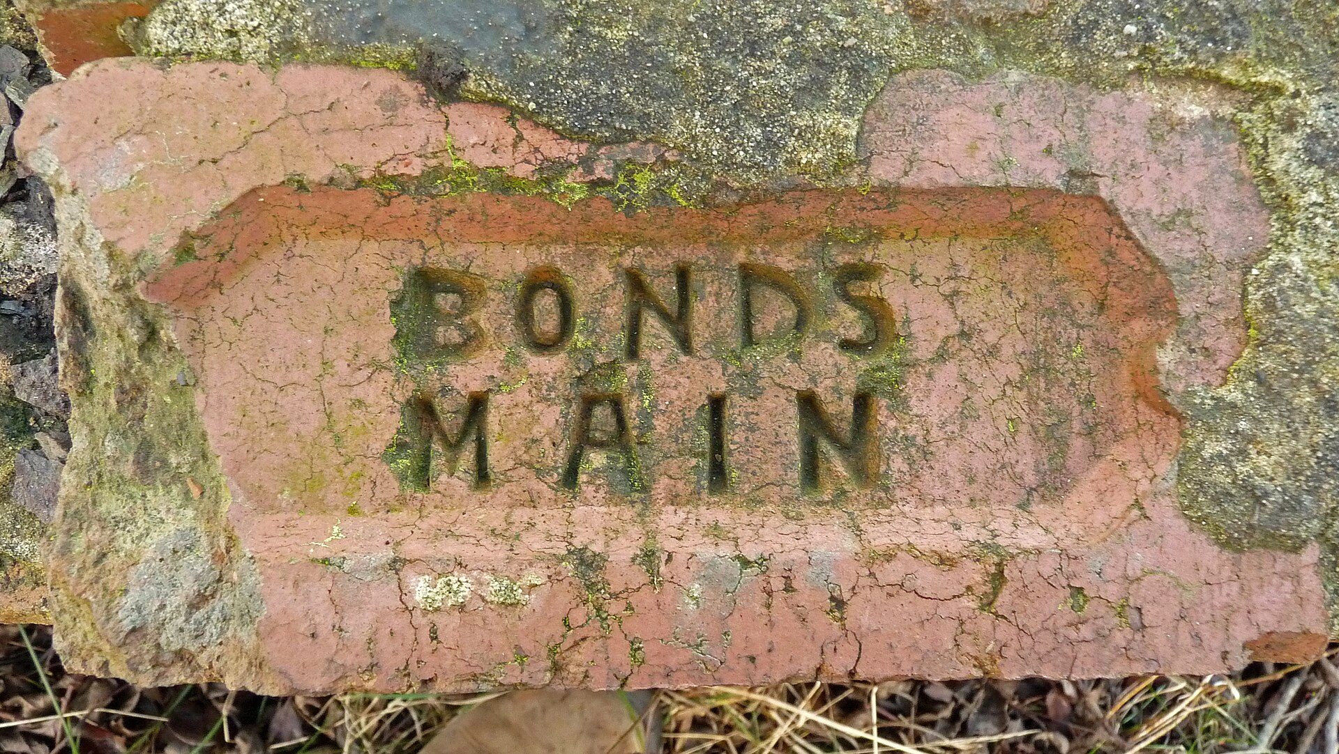
Bonds Main Colliery
| Also known as | Bond's Main Colliery |
|---|---|
| Location | Temple Normanton, south-east of Chesterfield, Derbyshire — 53.2071, -1.3725 (exact) |
| Commodity | Coal |
| Type | Coal |
| Worked | 1896–May 1949 |
| Maximum depth | Unknown. |
| Operators | Staveley Coal and Iron Company (1896–?), Clay Cross Company (?–1947), National Coal Board (1947–1949) |
Overview
The Staveley Coal and Iron Company's colliery at Temple Normanton, south-east of Chesterfield, which worked from 1896 to 1949, employed 940 men at its height, built its own village, and has since vanished under the M1.
History
Bonds Main Colliery at Temple Normanton is not on the first 25-inch Ordnance Survey map of about 1880 but appears on the second, of about 1900. Its shafts were being sunk in 1896 for the Staveley Coal and Iron Company, and by 1900 it employed 325 people working the Silkstone seam for gas coal. It grew quickly to 581 in 1905 and 940 in 1910, adding coking coal, and a workers' village with a school, post office and allotments was built to the south-west; a Bonds Main platform on the Great Central's Chesterfield loop served the miners.
The colliery's fortunes then swung sharply: employment fell to 487 in 1915 and to only 39 in 1923. Under the Clay Cross Company, its later owner, it recovered to 273 men in 1933 and 540 in 1940. Under the National Coal Board in 1947, 431 men raised 102,000 tons, by then from the Deep Hard and Tupton seams for gas and household coal. Work was discontinued in May 1949.
The M1 motorway has since been built across the ground to the south-west, and the colliery site is now a very large field. Of the colliery village only the school and one or two short terraces remain.
Geology
Coal Measures of the Derbyshire coalfield: the Silkstone seam (1900-1915), and later the Deep Hard and Tupton seams.
Workings
Shafts sunk in 1896; a railway platform on the Great Central Chesterfield loop; a colliery village with a school, post office and allotments.
Closure
Discontinued in May 1949, two years after nationalisation.
What remains
The colliery site is a large field; the M1 runs across the ground to the south-west. Only the school and one or two short terraces of the colliery village remain.
The village school and a few terraced houses.
Redevelopment
The M1 motorway and farmland.
Nearby mines
- Grassmoor Colliery — 0.5 miles (0.9 km) SW
- Williamthorpe Colliery — 1.0 miles (1.5 km) SE
- Arkwright Colliery — 1.6 miles (2.5 km) N
- Avenue Colliery — 1.7 miles (2.7 km) W
- Holmewood Colliery — 1.7 miles (2.7 km) SE
Straight-line distance, within 9 miles (15 km). Show on the map.
Recorded claims
Individual factual claims, each attached to the source(s) that support it below. Where sources disagree, both are kept.
- Bonds Main Colliery worked from 1896 to 1949. 1,2
- Bond's Main Colliery is not on the 25-inch Ordnance Survey map of about 1880 but appears on that of about 1900, with a workers' village built to the south-west. 3
- The colliery employed 128 people while sinking in 1896, 940 in 1910 and 39 in 1923. 4
- Its owners were the Staveley Coal and Iron Company and later the Clay Cross Company, before nationalisation in 1947. 4
- In 1947 the colliery employed 431 people and produced 102,000 tons; work was discontinued in May 1949. 4
- The M1 has since been built to the south-west and the site is now a very large field; only the village school and one or two short terraces remain. 3,5
Sources
- (secondary) List of collieries in Derbyshire — Wikipedia
- (secondary) Temple Normanton — Wikipedia
- (secondary) MDR14100 - Bond's Main Colliery (site of), Postman's Lane, Temple Normanton — Derbyshire Historic Environment Record
- (primary) Durham Mining Museum: Bonds Main Colliery — Durham Mining Museum
- (secondary) MDR11128 - Bonds Main Colliery Settlement, Temple Normanton — Derbyshire Historic Environment Record
Record created: 17 October 2026 · Last researched: 17 October 2026