 MineArchive
Priddy (St Cuthbert's) Lead Works
| Location | Priddy, Mendip Hills, Somerset — 51.2564, -2.6472 (approximate) |
|---|---|
| Commodities | Lead, Silver |
| Type | Metal |
| Worked | AD 49 (Roman)–1908 |
| Operators | Bishop of Bath and Wells (?–1908) |
Overview
St Cuthbert's, on the Mendip Hills above Priddy, was worked for lead on and off for the best part of two thousand years — from the earliest years of Roman Britain to the beginning of the 20th century — and its 19th-century closing phase relied not on fresh ore but on reprocessing the slag heaps earlier miners had left behind.
History
The Romans began mining lead on the Mendips around AD 49, within a few years of the conquest of Britain, and continued for roughly 350 years; Romano-British settlement remains found near St Cuthbert's support mining activity here specifically during that period. Medieval records of the industry are comparatively sparse, but point to a steady, if fluctuating, trade that reached a real peak of activity between 1600 and 1670. The ground at St Cuthbert's, known locally as a 'liberty', was worked under the authority of the Bishop of Bath and Wells, distinct from the neighbouring Chewton Mineries liberty controlled by the Waldegrave family. The industry's final 19th-century phase was not new mining at all, but the systematic reworking of the very large quantities of lead-bearing slag left behind by two millennia of earlier, less efficient smelting; this reprocessing continued until the works finally closed in 1908. In 1863 a well-documented pollution case established that water draining from St Cuthbert's Swallet, a cave system into which the works discharged, reached Wookey Hole — several miles away — within about eight hours, after the owners of the paper mill there traced dye deliberately released at St Cuthbert's through the underground drainage; the case established the mine's liability for the resulting contamination.
Geology
The ore, principally galena, was won from veins within the Triassic Dolomitic Conglomerate of the Mendip Hills, now within Stockhill Forest, part of the wider Mendip orefield that also supplied the nearby Charterhouse Roman mines.
Geological setting: Hydrothermal Deposits (well documented example), Veins and Lodes (well documented example)
Workings
The 19th-century operation centred on reprocessing old smelting slag rather than raising fresh ore, exploiting the comparatively crude recovery rates of earlier centuries' furnaces to extract lead the original smelters had left behind. Drainage from the works fed into St Cuthbert's Swallet, an underground cave system that carries water, and in 1863 whatever was released into it, several miles to the resurgence at Wookey Hole.
Closure
The works finally closed in 1908, ending close to two thousand years of intermittent lead working on this part of the Mendips.
What remains
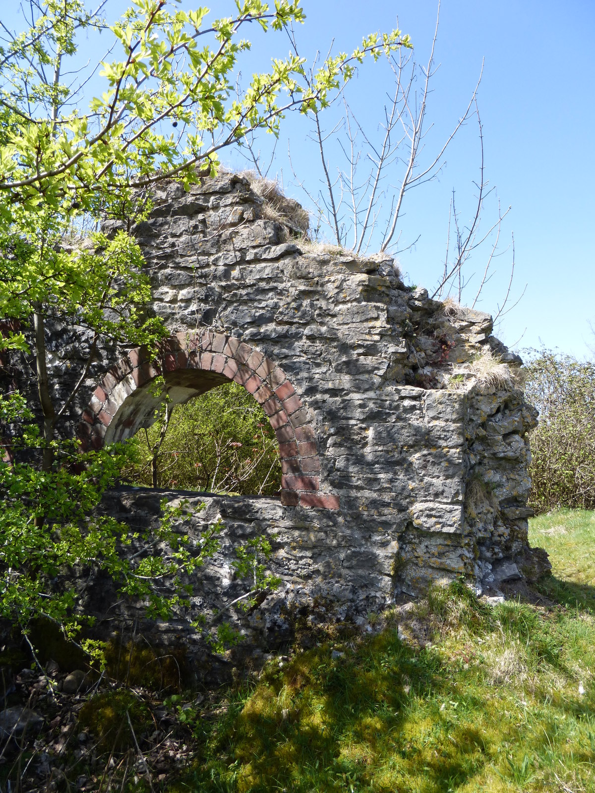
Numerous closed depressions from collapsed or backfilled workings still pock-mark the ground between North Hill and Stockhill Forest, alongside surviving spoil heaps, pits, leats and reservoirs from the site's long working life.
The former mining ground at St Cuthbert's and the neighbouring Chewton Mineries now forms the Priddy Mineries nature reserve, managed by the Somerset Wildlife Trust, valued today for wetland habitat and lead-tolerant plant communities that owe their presence to the site's contaminated industrial soil.
Related mines
- Chewton Mineries — The neighbouring liberty in the same valley, now one nature reserve with St Cuthbert's.
Nearby mines
- Chewton Mineries — 1.1 miles (1.8 km) NE
- Higher Pitts Mine — 1.5 miles (2.4 km) SW
- Blackmoor Rake — 3.9 miles (6.3 km) NW
- Ubley Rake — 3.9 miles (6.3 km) NW
- Grebe Swallet Mine — 3.9 miles (6.4 km) NW
Straight-line distance, within 9 miles (15 km). Show on the map.
Recorded claims
Individual factual claims, each attached to the source(s) that support it below. Where sources disagree, both are kept.
- In 1863, dye released into St Cuthbert's Swallet was traced reaching Wookey Hole, several miles away, within around eight hours, establishing the mine's liability for downstream pollution. 1
- The ore, chiefly galena, came from veins in the Triassic Dolomitic Conglomerate in what is now Stockhill Forest; the St Cuthbert's Leadworks, operated by the Bishop of Bath and Wells, lay at the southern end of the valley between North Hill and Stockhill Forest, and the Waldegraves' Chewton Mineries farther north near Waldegrave Pool. 1
- In 1860 the owners of Wookey Hole paper mill traced water from St Cuthbert's Swallet to Wookey Hole with 'Vanadium Red' dye after chaff and ink had failed, the basis of their successful lawsuit of 1863 against the leadworks for polluting the stream; modern tracing puts the flow at about eight hours. 1
- The Mining Remediation Authority's abandonment plan OMR315D covers the Chewton and Priddy lead-ore workings at three chains to the inch. 2
Sources
- (primary) Priddy — BGS - Foundations of the Mendips
- (primary) Chewton Priddy Mine Plan (BGS Mine Plans Catalogue) — British Geological Survey / The Coal Authority
- (primary) The St Cuthbert's Roman mining settlement, Priddy — University of Bristol Spelaeological Society Proceedings
Record created: 22 August 2026 · Last researched: 24 September 2026