 MineArchive
Greenhow Mines
| Also known as | Greenhow Hill Mines, Gillfield Level, Coldstones Low Level, Cockhill Level |
|---|---|
| Location | Greenhow Hill and Bewerley Moor, near Pateley Bridge, North Yorkshire — 54.0770, -1.8290 (approximate) |
| Commodities | Lead, Fluorspar |
| Type | Metal |
| Worked | Roman–c. 1900 |
| Maximum depth | Worked by shafts and long adit levels rather than to a single recorded depth; Gillfield Level was driven over half a mile. |
| Operators | Sir Stephen Proctor (1597–?), P. W. Overend & Co. (1782–?), Bewerley Mines Ltd (1930–?) |
Overview
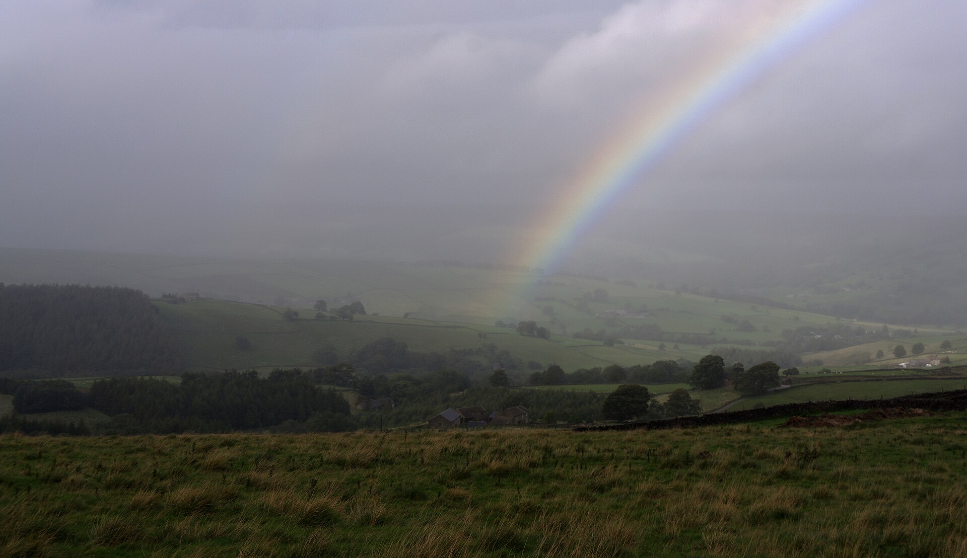
The lead field of Greenhow Hill in Nidderdale, one of the highest villages in England at 1,300 feet, and the principal early mining centre of the southern Yorkshire Dales. Lead was got here in Roman times, worked intensively by Fountains and Byland abbeys from the twelfth century, and taken over after the Dissolution by mineral lords — Sir Stephen Proctor bought the manor of Bewerley with its mineral rights in 1597 and built the village and the first smelt mill. The great adit levels, Gillfield and Cockhill, were driven from the 1780s; fluorspar was worked from the old lead stopes in the 1930s.
History
Lead was got at Greenhow long before there was a village. Three Roman lead ingots have been found near the hill, two at Heyshaw near Dacre and one at Nussey Knot, and the Norse name for the place — Kaldestaines, Coldstones — records who came after. The intensive working was monastic. Fountains and Byland abbeys secured mineral rights from Roger de Mowbray and worked the ground from the twelfth century, disputing their boundaries frequently enough that in 1226 they set the terms down: a groove on Kaldestaines previously worked in common should continue to be worked so until exhausted, and any lay brother or monk of either house convicted of breaking the agreement must go on foot to the other abbey to apologise and then have only bread and water on a Friday for a year. In 1351 the people of Bewerley were described as living "in a certain Beastlie manner to the peril of there soles", getting their living by "iron digging, lead digging and stones digging". The lead went to Windsor — in 1365 the King ordered two wagons, each with ten oxen, to carry twenty-four fothers from Coldstones in Nidderdale "by high and rocky mountains and muddy roads to Boroughbridge" — and to abbeys in northern France. Bolton Priory claimed rights in the west, and in 1530 five hundred miners assembled near Craven Keld accusing the Priory’s men of sinking shafts inside the Forest of Knaresborough boundary. The Dissolution of 1539 passed the ground to mineral lords. Sir Stephen Proctor bought the manor of Bewerley and its mineral rights in 1597; his father Thomas had patented a new lead smelting process and made the family’s money by it. Proctor built the village of Greenhow, put up the first recorded smelt mill on Brandstone Beck around 1606, and installed an "engen" to drain the mines. The deep adits came two centuries later. P. W. Overend & Co. began driving Coldstones Low Level — Gillfield — in 1782, spending over £3,000 to reach Quarry Shaft on the Waterhole Vein by the late 1780s; Cockhill Level, about 150 metres west-south-west of it, was begun by Cleaver & Co. around 1783. Each had its own smelt mill at first. When lead failed at the end of the nineteenth century the village emptied, though some stayed on hoping the price would come back. Bewerley Mines Ltd reopened Gillfield Level in the 1930s for fluorspar, making considerable stopes in the Waterhole and Sun veins and erecting a gravity plant outside, close to the Cockhill smelt mill.
Geology
Mineral veins in the Carboniferous limestone of the southern Yorkshire Dales, worked for lead and later for the fluorspar that had been discarded as gangue. The Waterhole Vein, the main run at Gillfield, hades between 10 and 20 degrees to the north at adit level, where a horse of rock splits it in two, and steepens rapidly to 45 degrees in the higher stopes under the overlying shale cap. It is over ten feet wide in places, with a marked tendency to swell and nip. The Sun Vein joins it to the east. The same limestone holds Stump Cross Caverns, found by lead miners, which is how the caves are known at all.
Workings
Shafts and gins on the hilltop, and from the 1780s two long adit levels driven in from lower ground to drain and work the veins from below. Gillfield was ventilated by a water blast — a shaft near the entrance down which water fell through a pipe, dragging air with it; at the shaft foot water and air separated in a box, and the air, slightly compressed by the weight of water above, was forced along pipes to the forehead. A dispute of 1789 shows the state of the mine and how easily it could be undone. The waste dressers, given two years to work over the old spoil, had destroyed watercourses and dams and built their own, letting water and sludge run into the shafts: Smithy End Shaft was blocked, part of Likely Shaft and all of Cowgrove Shaft collapsed, and at Quarry Gin Shaft large quantities of waste had been taken away, the engine race lifted, the shaft timbers bared and the gin’s prick post let down. Water reached Gillfield Level and brought down a collapse, and the blocking of one watercourse stopped the ventilation and put the men out of work.
Closure
Lead mining declined at the end of the nineteenth century and the population left to find work elsewhere, leaving cottages empty; some households stayed on in hope of a rise in the lead price that did not come. Fluorspar gave the ground a second life in the 1930s, worked from the stopes the lead miners had left.
What remains
Gillfield Level is the only underground working still accessible at Greenhow. Leeds University’s Department of Mining and Mineral Engineering leased it in the mid-1970s as a training mine for underground surveying, cleaning the stopes of loose rock and making it safe; when the department closed in the late 1990s the lease was surrendered, and because the mine was classified as a working mine the lessee had a duty to make it safe — usually done by blowing in the entrance. The Greenhow Local History Club took a lease in 2004 to preserve it instead, and has been making it safe and working on the West Level. Elsewhere the remains lie scattered across the heather and bracken of the moor, with the earliest settlement buried under centuries of waste from the workings.
Spoil, shaft mounds and the ruins of lost dwellings across Greenhow Hill and Bewerley Moor; the Cockhill smelt mill site with its dressing floor; and the portal of Gillfield Level, kept open and maintained.
Related mines
- Appletreewick Mines — The Cockhill Level from the Greenhow side was extended as the 56 fathom joint level to drain Craven Cross in 1803 (NMRS).
Nearby mines
- Coldstones Quarry — 0.7 miles (1.1 km) SE
- Prosperous Lead Mine — 1.0 miles (1.7 km) NE
- Stony Grooves Mine — 1.5 miles (2.4 km) NW
- Appletreewick Mines — 1.6 miles (2.6 km) SW
- Scotgate Ash Quarry — 3.2 miles (5.1 km) NE
Straight-line distance, within 9 miles (15 km). Show on the map.
Recorded claims
Individual factual claims, each attached to the source(s) that support it below. Where sources disagree, both are kept.
- Evidence of Roman mining comes from three ingots of lead found near Greenhow, two at Heyshaw near Dacre and one at Nussey Knot. 1
- An agreement of 1226 between Fountains and Byland abbeys provided that a groove on Kaldestaines, previously worked in common, should continue to be worked in the same way until exhausted; any lay brother or monk of either abbey convicted of breaking the agreement must go on foot to the other abbey to apologise and then have only bread and water on a Friday for a year. 1
- In 1365 the King ordered "Two wagons, each with 10 oxen, carrying 24 fothers of the said lead from Coldstones in Nidderdale in the county of York, by high and rocky mountains and muddy roads to Boroughbridge." 1
- Sir Stephen Proctor bought the Manor of Bewerley, including the mineral rights, in 1597; he developed what is now Greenhow, built the first recorded smelt mill probably on Brandstone Beck around 1606, and installed an "engen" to drain the mines. 1
- The driving of Coldstones Low, or Gillfield, Level started in 1782 by P. W. Overend & Co., who at a cost of over £3,000 drove it to Quarry Shaft on Waterhole Vein by the late 1780s. 2
- The Waterhole Vein hades between 10 and 20 degrees to the north at adit level, where it is split into two by a horse of rock, but this rapidly increases to 45 degrees in the higher stopes because of the overlying shale cap. The vein is over 10 feet wide in places and has a marked tendency to swell and nip. 2
- Gillfield Level was ventilated by a water blast shaft a short distance from the entrance: water fell down a pipe in the shaft and carried air with it, and at the shaft foot water and air entered a box which allowed them to separate, the air, slightly compressed by the weight of water, being forced along pipes in the level to ventilate the forehead. 2
- In the 1930s Gillfield Level was re-opened by Bewerley Mines Ltd and considerable fluorspar stopes were made in the Waterhole and Sun veins, with a gravity plant erected outside close to the Cockhill Smelt Mill. 2
- Gillfield Level was leased by Leeds University’s Department of Mining and Mineral Engineering in the mid-1970s for training in underground surveying. After the department closed the lease was surrendered, and in 2004 the Greenhow Local History Club obtained a lease to preserve the mine — the only underground workings accessible at Greenhow today. 2
Photographs & further reading
The driving of the level from 1782, the geology of the Waterhole Vein, the water-blast ventilation, the 1789 dispute that wrecked the shafts, and the mine’s later lives as a fluorspar working, a university training mine and a preserved level.
View sourceEight centuries of the hill: Roman lead ingots, the abbeys’ disputes and the 1226 agreement, the 1365 order of lead for Windsor, and Proctor’s purchase of the mineral rights in 1597.
View sourceSources
- (secondary) History of Greenhow — Greenhow Local History Club
- (secondary) Gillfield or Coldstones Low Level, Greenhow Hill (from British Mining No. 60, The Greenhow Mines, NMRS 1998) — Greenhow Local History Club
- (secondary) The fascinating history of Greenhow Hill — Stump Cross Caverns
Record created: 8 September 2026 · Last researched: 8 September 2026