 MineArchive
Appletreewick Mines
| Also known as | Burhill Mines, Craven Moor Mines |
|---|---|
| Location | Burhill and Craven Moor, near Stump Cross Caverns, Appletreewick township, North Yorkshire — 54.0674, -1.8653 (approximate, low confidence) |
| Commodity | Lead |
| Type | Metal |
| Worked | Medieval–1967 |
| Maximum depth | 56 fathoms (joint level, Craven Cross area) |
| Operators | Burhill Mining Company (1857–1881), Clay Cross Company (1963–1967), Craven Moor Mining Company |
Overview
The lead mines of Burhill and Craven Moor near Stump Cross, in Appletreewick township, worked since Bolton Priory owned them, pumped by a Boulton and Watt engine at Craven Cross in the 1780s, and reworked for fluorspar until 1967.
History
On Burhill and Craven Moor, near Stump Cross Caverns, lead veins outcrop in the limestone and were worked in monastic times, when the manor and its valuable lead mines belonged to Bolton Priory. Much of the oldest working has been obliterated by twentieth-century reworking of the dumps for fluorspar, and most of what survives is of the eighteenth and nineteenth centuries. The Craven Cross mine near Keld Houses was rich, but in 1784 it flooded at 43 fathoms; its owner, William Wood, installed a Boulton and Watt steam engine to pump it, though work did not resume until late 1785, and by 1795 the engine stood idle and was moved to a colliery near Durham. Natural caverns let surface water into any working that went below them. In 1803 the 56 fathom joint level, a branch of the Cockhill Level from Bewerley, reached the mine and allowed the area to keep working into the 1880s, the Craven Moor Mining Company's Blackhill Level having been overtaken by it. The Burhill Mining Company, formed in 1857, sank deep shafts on Old Vein and drove Hopewell Level in Nebcastle Rake, producing about 82 tons of lead a year until the slump of the early 1870s, with some ore again in 1877-81. In the 1890s the tunnel for Bradford's water supply from Nidderdale proved ore below the old workings, prompting a brief return to lead and fluorspar in the 1920s and 1930s; the Clay Cross Company worked Burhill for fluorspar from 1963 to 1967.
Geology
Carboniferous limestone with lead veins outcropping on Burhill and Craven Moor (Old Vein, Nebcastle Rake, Wright Vein, Blackhill Vein); natural caverns in the limestone; fluorspar in the vein stuff.
Workings
Medieval and later shafts; the Craven Cross engine shaft; deep shafts on Old Vein and Hopewell Level in Nebcastle Rake; Blackhill Level; the 56 fathom joint level from Cockhill Level; 1960s inclines on Nebcastle Rake and Wright Vein.
Closure
Lead working ended in the 1880s apart from a 1920s-30s revival; fluorspar working by the Clay Cross Company ended in 1967.
What remains
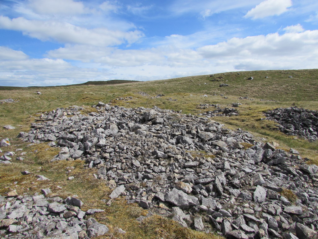
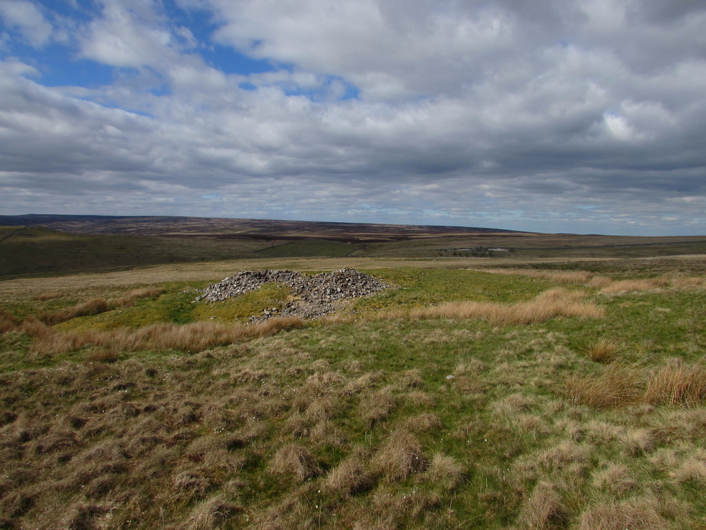
The 1960s fluorspar inclines on Nebcastle Rake and Wright Vein remain as gashes in the hillside; a few older shafts survive.
Shaft mounds, dumps and open inclines.
Redevelopment
Unknown.
Related mines
- Greenhow Mines — The Cockhill Level from the Greenhow side was extended as the 56 fathom joint level to drain Craven Cross in 1803 (NMRS).
Nearby mines
- Greenhow Mines — 1.6 miles (2.6 km) NE
- Stony Grooves Mine — 2.1 miles (3.3 km) N
- Coldstones Quarry — 2.1 miles (3.4 km) E
- Prosperous Lead Mine — 2.5 miles (4.0 km) NE
- Red Scar Mine — 2.8 miles (4.5 km) NW
Straight-line distance, within 9 miles (15 km). Show on the map.
Recorded claims
Individual factual claims, each attached to the source(s) that support it below. Where sources disagree, both are kept.
- Bolton Priory acquired the manor of Appletreewick, with its valuable lead mines, in 1300. 1
- Craven Cross mine flooded at 43 fathoms in 1784, and William Wood installed a Boulton and Watt steam engine to pump it. 2
- The Burhill Mining Company, formed in 1857, produced about 82 tons of lead a year until the early 1870s. 2
- The Clay Cross Company worked Burhill for fluorspar from 1963 until 1967. 2
- The 56 fathom joint level, a branch of Cockhill Level, reached Craven Cross in 1803. 2
Photographs & further reading
The Northern Mine Research Society's account of the Burhill and Craven Moor lead mines, from Gill's The Greenhow Mines.
View sourceSources
- (secondary) Wikipedia: Appletreewick — Wikipedia
- (secondary) Appletreewick Mines — Northern Mine Research Society
- (primary) BGS mine plans catalogue: Plan of lead mines and seams, Appletreewick — British Geological Survey
- (primary) BGS mine plans catalogue: Plan of principal veins and workings, Burhill Lead Mine, by Mathew Newbold — British Geological Survey
Record created: 16 October 2026 · Last researched: 16 October 2026