 MineArchive
Beever Mine
| Also known as | Beevers Mine |
|---|---|
| Location | Yarnbury, Grassington Moor, North Yorkshire — 54.0810, -1.9950 (approximate) |
| Commodity | Lead |
| Type | Metal |
| Worked | By 1826–late 19th century |
| Maximum depth | Beever's Engine Shaft 91 m (1836) |
| Operators | Duke of Devonshire |
Overview
A lead mine on Grassington Moor in Wharfedale, part of the complex the Dukes of Devonshire drove hard through the late eighteenth and early nineteenth centuries. A stamp mill and dressing floors were built at Beevers by 1826, and Beever's Engine Shaft was sunk in 1836 to 91 m with a waterwheel working the pumps in the nearby workings. Water was scarce on the moor, and only three of the Yarnbury shafts had water-powered pumps at all; the rest turned on horse whims.
History
Lead was worked on Grassington Moor from the sixteenth century and earlier — the monks of Fountains Abbey are credited with beginning it more than five hundred years ago. The industry changed character when the mineral rights passed to the Dukes of Devonshire in the middle of the eighteenth century. The fifth Duke expanded the mines, brought in modern techniques and sank much deeper shafts, and by the early nineteenth century his mineral agents were exploiting the veins as intensively as they could. A cupola smelt mill was built for the moor's mines in 1792 and Yarnbury House was put up in 1826 for the Duke's mineral agent.
Beever belongs to that phase. Development at Yarnbury included centralising the processing: dams connected by leats, and the Duke's Water Course carried some three kilometres along the contour from Coalgrovebeck to the New Wash Dam to store water for the Low Grinding Mill built in 1824. By 1826 a stamp mill had been incorporated and further dressing floors built at Beevers Mine. Beever's Engine Shaft was sunk in 1836 to a depth of 91 m, with a waterwheel driving the pumps in the nearby workings. Water was the constraint throughout: because it was scarce at the Yarnbury mines only three shafts were fitted with water-powered pumps and the rest were worked by horse whims. Production had all but ceased by the late nineteenth century.
Geology
The Yorkshire Pennine orefield, lead veins in the Carboniferous limestones and grits of Grassington Moor. The Yarnbury veins were worked from a scatter of shafts across the moor, with further exploitation to the south-east at Bolton Gill and Hebden Gill. What shaped the working here was not the geology but the water supply: a high, dry moor with too little running water for the machinery the ore justified.
Geological setting: Veins and Lodes (well documented example)
Workings
Beever's Engine Shaft, sunk in 1836 to 91 m, carried a waterwheel that worked the pumps in the nearby workings — one of only three shafts among the Yarnbury mines to have water-powered pumping, the rest relying on horse whims. Dressing was centralised: a stamp mill was incorporated at Beevers by 1826 along with other dressing floors, fed by the system of dams, leats and the three-kilometre Duke's Water Course that also supplied the Low Grinding Mill of 1824.
Closure
Production on Grassington Moor had all but ceased by the late nineteenth century and the mine closed. The moor was later worked for barytes, and a twentieth-century barytes mill stands among the lead remains.
What remains
The Grassington Moor mines and processing works, together with the twentieth-century barytes mill, are a scheduled monument covering a multi-period industrial landscape. The dams, leats, dressing floors and shaft tops survive across the moor and are walked from Yarnbury.
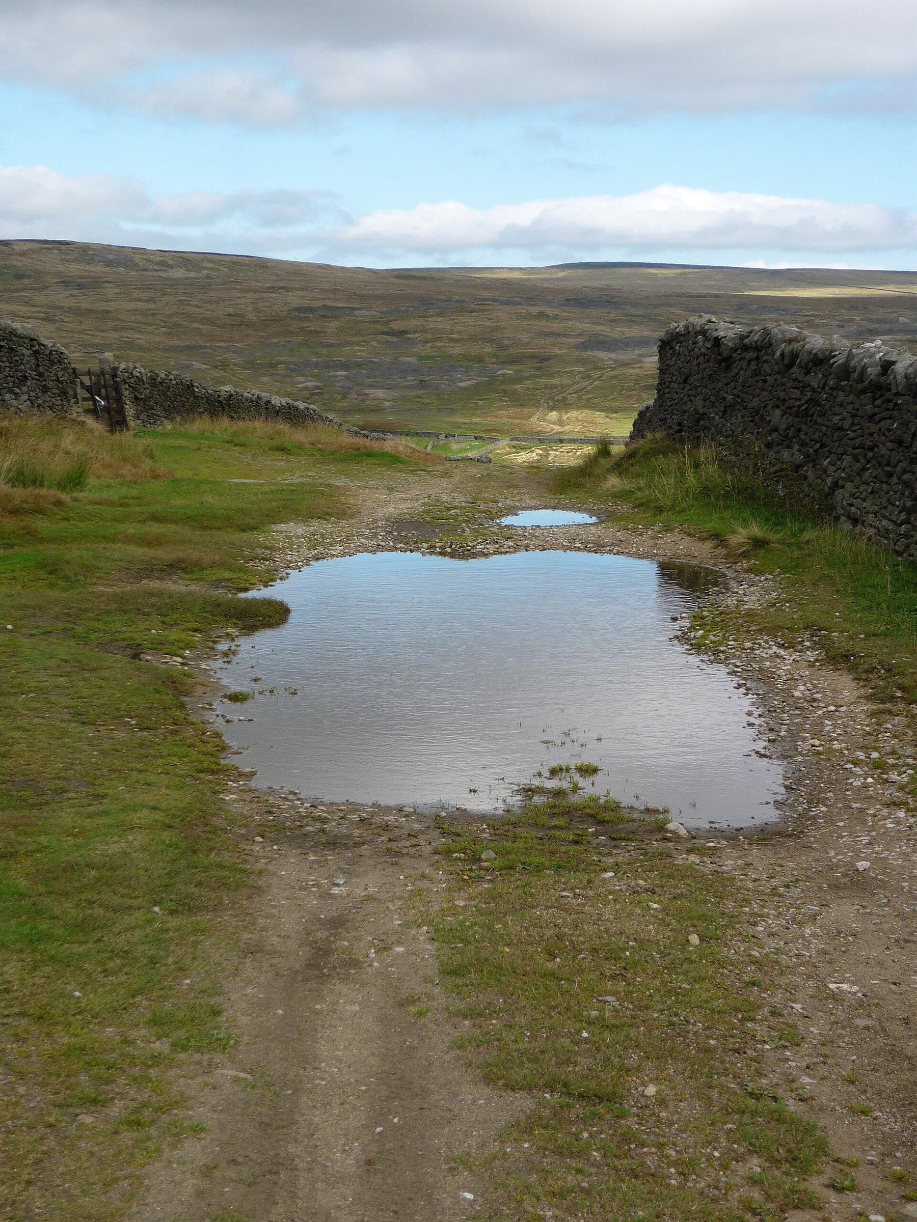
Dams, leats, dressing floors and shaft tops survive across the scheduled Grassington Moor mining landscape; which of them were Beever's own is not recorded.
Related mines
- Grassington Moor Mines — Beever is one of the Yarnbury workings within the Grassington Moor complex, sharing its dams, leats and centralised dressing floors; Beever is named on the Grassington Moor record.
Nearby mines
- Frankland Fold Mine — 1.4 miles (2.3 km) NE
- Grassington Moor Mines — 1.7 miles (2.8 km) NE
- Hebden Mines — 1.8 miles (2.8 km) E
- Conistone Moor Mines — 2.1 miles (3.4 km) N
- Swinden Quarry — 2.6 miles (4.1 km) SW
Straight-line distance, within 9 miles (15 km). Show on the map.
Recorded claims
Individual factual claims, each attached to the source(s) that support it below. Where sources disagree, both are kept.
- By 1826 a stamp mill had been incorporated and other dressing floors built at Beevers Mine, as part of the centralisation of processing at Yarnbury. 1
- Beever's Engine Shaft was sunk in 1836 to a depth of 91 m and had a waterwheel which operated the pumps in the nearby workings. 1
- Because water was scarce at the Yarnbury mines only three shafts were fitted with water-powered pumps, the remainder being powered by horse whims. 1
- The Duke of Devonshire built the cupola lead smelt mill serving the Grassington Moor mines in 1792, and Yarnbury House was built in 1826 for his mineral agent; the Duke's Water Course was carried some 3 km along the contour from Coalgrovebeck to the New Wash Dam. 1
Photographs & further reading
The scheduling text for the whole moor, describing the dams, leats, dressing floors and shafts including Beevers, and the water supply that governed how they worked.
View sourceSources
- (primary) Multi-period lead mines and processing works and 20th century barytes mill on Grassington Moor — scheduled monument 1018333 — Historic England, via Ancient Monuments
- (observational) From Yarnbury to Grassington Moor — Geograph Britain and Ireland
- (secondary) British Mining No. 46: The Grassington Mines (M. C. Gill) — Northern Mine Research Society
Record created: 9 September 2026 · Last researched: 9 September 2026