 MineArchive
Frankland Fold Mine
| Location | Grassington Moor, near Grassington, North Yorkshire — 54.0974, -1.9732 (approximate) |
|---|---|
| Commodity | Lead |
| Type | Metal |
| Worked | 1735–1853 |
| Operators | Duke of Devonshire (1818–1853) |
Overview
Frankland Fold Mine was a lead mine on Grassington Moor in the Yorkshire Dales, one of the numerous named workings of the wider Grassington lead field worked from the 18th century until the field's closure in 1881.
History
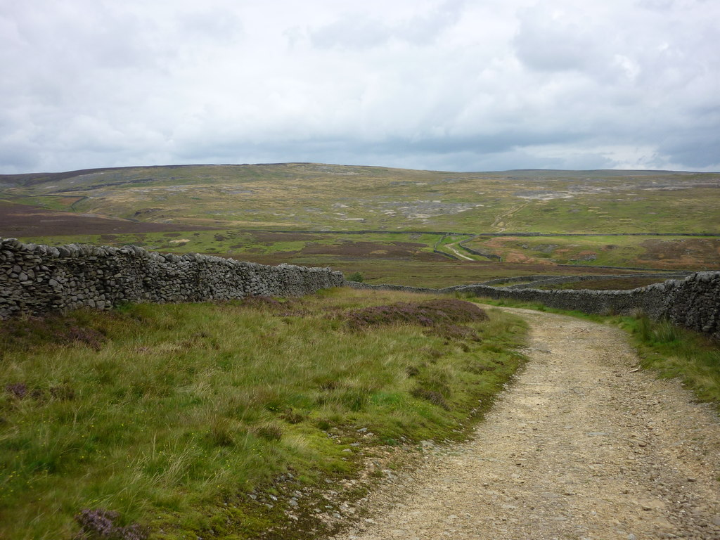
Frankland Fold Mine worked a vein on Grassington Moor, part of the extensive lead field on Grassington High and Low Moors that was worked, under a customary 'meers' system granting miners units of ground in exchange for a fifth share of the lead raised, from around 1604. Frankland Fold itself is recorded as active from 1735. The wider field passed through a long period of decline before the 5th Duke of Devonshire, from 1818, employed the mining engineer John Taylor to revitalise the moor's idle workings: Taylor sank a network of deeper shafts, built a series of dams and watercourses to power a waterwheel, and drove a deep drainage adit -- the Duke's Level, begun in 1792 and completed in 1830 -- serving the veins of the Out Moor. Operations across the field were most profitable through the 1850s. Frankland Fold Mine itself is recorded as continuing to 1853, and the wider Grassington lead field finally closed in 1881 as reserves and lead prices both fell.
Geology
Worked a lead vein within the Grassington Moor orefield, where veins are most productive in the Grassington Grit and the upper part of the underlying Middle Limestone.
Workings
Worked as one of the numerous named shaft-and-level workings on Grassington Moor's lead field, within reach of the Duke's Level deep drainage adit driven under John Taylor's direction from 1818.
Closure
Recorded as working to 1853; the wider Grassington lead field closed in 1881 as reserves and lead prices gave out.
What remains
Large parts of the Grassington Moor lead field, including its shafts, levels, dams, watercourses and smelting remains, are scheduled as Ancient Monuments; the moor carries a signposted trail past surviving features such as the chimney, flue and reservoir of the Cupola smelt mill and the portal of the Duke's Level.
Surface remains typical of the wider Grassington Moor field survive nearby, including spoil heaps, shaft mounds and the Duke's Level portal, though no feature specifically identified as Frankland Fold's own surface workings has been confirmed.
Related mines
- Grassington Moor Mines — Frankland Fold is one of the named workings of the Grassington Moor lead field, under the Duke of Devonshire's lordship and drained by the Duke's Level.
Nearby mines
- Grassington Moor Mines — 0.4 miles (0.7 km) E
- Hebden Mines — 1.3 miles (2.0 km) SE
- Beever Mine — 1.4 miles (2.3 km) SW
- Red Scar Mine — 2.3 miles (3.7 km) E
- Swinden Quarry — 4.0 miles (6.4 km) SW
Straight-line distance, within 9 miles (15 km). Show on the map.
Recorded claims
Individual factual claims, each attached to the source(s) that support it below. Where sources disagree, both are kept.
- Frankland Fold Mine is recorded as worked from 1735 to 1853, at grid reference SE 0185 6683 on Grassington Moor, cited across six academic publications by the Northern Mine Research Society (British Mining Nos. 13, 46, 72 and 88, and two further papers). 1
- The wider Grassington Moor lead field was worked under a customary 'meers' system from around 1604, revitalised from 1818 by mining engineer John Taylor under the 5th Duke of Devonshire, and finally closed in 1881. 2
- The mine is treated in the Northern Mine Research Society's British Mining series — Bird and Dickinson's Mines of Grassington Moor and Wharfedale (No. 13), Gill's Grassington Mines (No. 46) and Gill and Burt's Mines of Yorkshire (No. 72) — and in Mike Gill's 1990 account of three eighteenth-century mining disputes at Grassington. 1
Photographs & further reading
The Buddlepit database's own entry for the mine, giving its grid reference and full bibliography of Northern Mine Research Society publications.
View sourceSources
- (secondary) Frankland Fold Mine — Buddlepit Mine Database (citing Bird & Dickinson (1980) The Mines of Grassington Moor & Wharfedale, British Mining No. 13; Gill (1993) The Grassington Mines, British Mining No. 46; Gill & Burt (2003) The Mines of Yorkshire, British Mining No. 72; and others)
- (secondary) Grassington Mines — Northern Mine Research Society
Record created: 2 September 2026 · Last researched: 24 September 2026