 MineArchive
Halkyn Mountain
| Location | Halkyn, Flintshire — 53.2371, -3.2050 (approximate) |
|---|---|
| Commodities | Lead, Silver, Zinc |
| Type | Metal |
| Worked | Bronze Age–1987 |
| Maximum depth | at least 800 ft (about 244 m) in later workings |
| Operators | London Lead Company (1695–?), Holywell-Halkyn Mining and Tunnel Company (1897–?) |
Overview
Halkyn Mountain, above Holywell in Flintshire, was worked for lead almost continuously for close to two thousand years — from Roman extraction through to the last headframe coming down in 1987. Today the mountain's surface is pitted with thousands of former shafts, and a network of drainage tunnels still runs beneath it.
History
Mining on Halkyn Mountain probably began in the Bronze Age with shallow surface workings, but the first firm evidence is Roman: a lead ingot inscribed "C NIPI ASCANI", recording production by a private operator named Caius Nipius Ascanius, was found in 1950. Medieval records from the 1350s describe the "free miners of Englefield" working plots of ground in exchange for dues to the lord of the manor. The Grosvenor estate was granted mining rights across Holywell parish by the Crown in the 1630s, and from 1695 the Quaker-run London Lead Company brought a more methodical, capital-intensive approach, installing one of the earliest Newcomen steam engines on the mountain in 1729 and building a smelting house at Gadlys near Bagillt in 1704.
The 19th century saw major expansion: the Grosvenor Estate drove the Halkyn Deep Level drainage tunnel from 1818, and by 1850 the mountain was producing 11,500 tons of lead a year, around 12% of the entire British total. Drainage became an industry in its own right — the Halkyn District Mines Drainage Company took over tunnel operations in 1875, and the Holywell–Halkyn Mining and Tunnel Company began the much larger Milwr Tunnel in 1897, later extended as far as the Mold Mines in 1957. Mining interests and drainage were amalgamated as the Halkyn District United Mines in 1928. Production declined steadily through the 20th century in the face of cheaper imported ore, continuing only on a small scale by the 1970s; the last headframe on the mountain, at Pen-y-bryn, was dismantled in 1987, closing out almost two thousand years of mining on the site.
Geology
The mountain is a spine of Carboniferous limestone, host to lead and zinc-bearing veins worked from the Bronze Age onward.
Geological setting: Veins and Lodes (well documented example)
Workings
Early shafts reached only around 60 yards (55 m) by the 1720s; later workings went considerably deeper, to at least 800 ft (about 244 m). Drainage was managed through an expanding network of tunnels, including the Halkyn Deep Level (from 1818) and the much larger Milwr, or Sea-Level, Tunnel, authorised by an Act of Parliament in 1896 and begun the following year from a portal at sea level near Bagillt on the Dee Estuary. Driven intermittently until 1957, it eventually ran ten miles into the mountain and remains one of the most extensive mine-drainage systems in Britain.
Closure
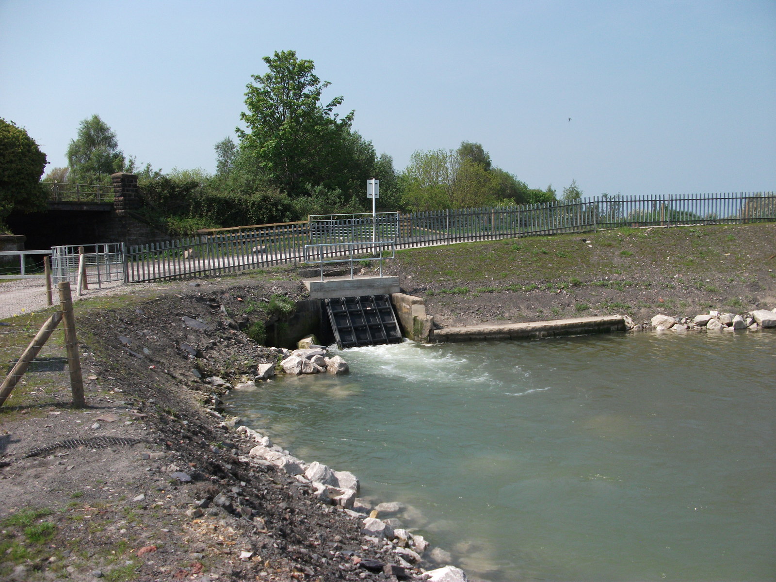
The mountain's last working mine closed in 1987, when the Pen-y-bryn head frame — by then the last standing on the mountain — was dismantled, ending continuous mining that had lasted, in some form, since Roman times. The drainage tunnel outlived the industry it was built for: the Milwr still discharges around 23 million gallons a day, now put to industrial use.
What remains
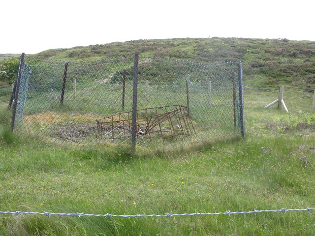
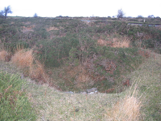
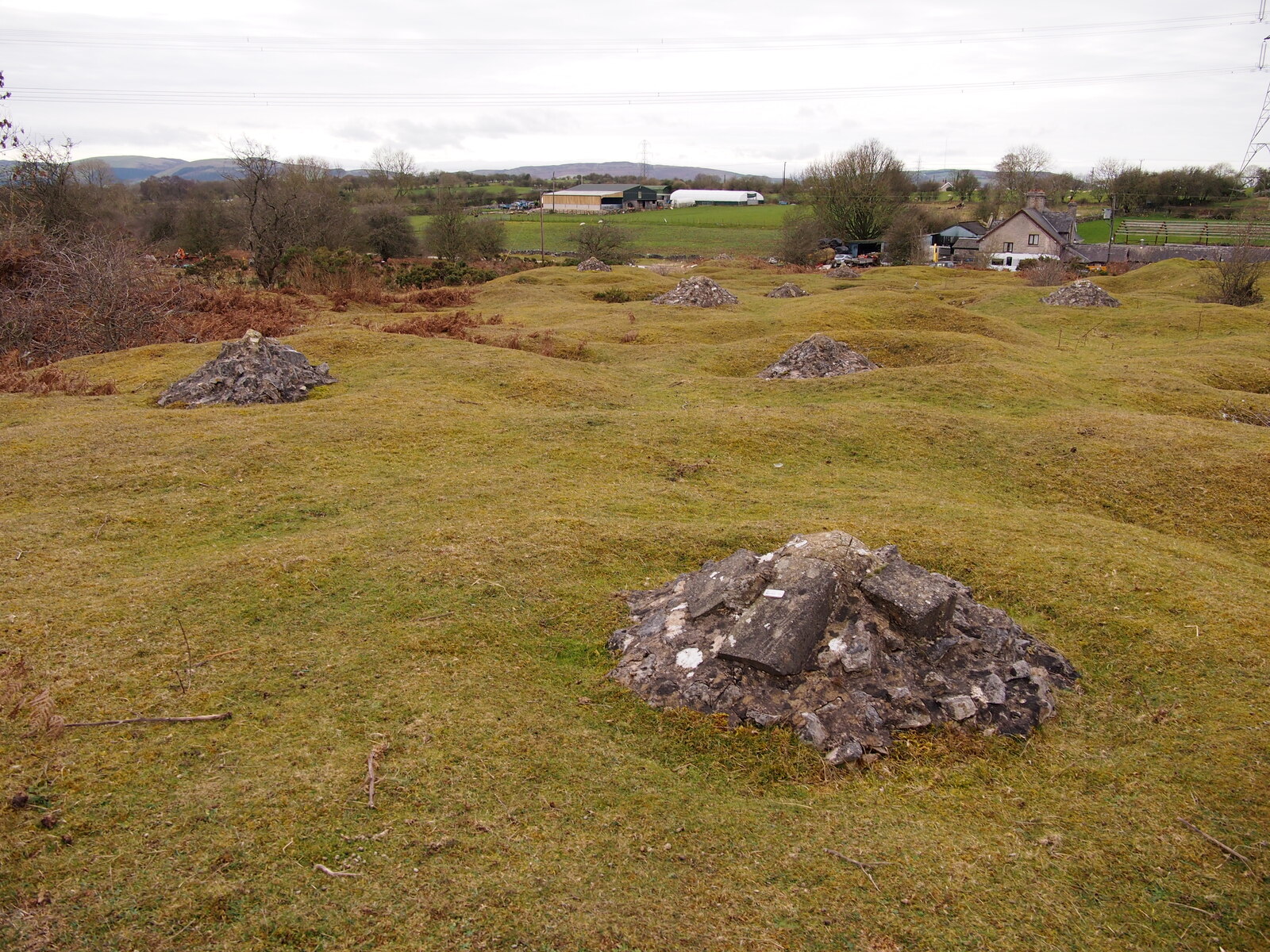
Around 4,700 former mine shafts remain visible across Halkyn Mountain today, many capped in concrete or now visible only as surface depressions where they have partially collapsed.
Surface evidence of the mountain's mining history survives extensively across the common in the form of shaft mounds, capped shafts and collapse depressions, though little standing above-ground plant remains from the mine's working life.
Redevelopment
No major redevelopment has taken place; the mountain remains common land, with its mining history recognised as a significant part of the local historic landscape.
Related mines
- Hendre Mine — Hendre is the southern end of the Halkyn orefield and the place its working finally ended.
- Milwr Tunnel — The Milwr Tunnel was built specifically to drain the lead mines beneath Halkyn Mountain.
- Pen-y-Bryn Mine — Pen-y-Bryn worked lead and zinc directly on Halkyn Mountain, and its own shaft became the centre of the district's major 20th-century operations.
Nearby mines
- Pen-y-Bryn Mine — 0.8 miles (1.3 km) SE
- Bryngwiog Lead Mine — 1.0 miles (1.5 km) SW
- Milwr Tunnel — 1.7 miles (2.8 km) SE
- Hendre Mine — 2.5 miles (4.1 km) S
- Bettisfield Colliery — 2.9 miles (4.6 km) NE
Straight-line distance, within 9 miles (15 km). Show on the map.
Disasters & major incidents
-
Bryngwiog Mine inrush, 1862
February 1862 · Flooding / Inundation · 16 fatalities
Sixteen men drowned when Bryngwiog Mine, on Halkyn Mountain, broke into the flooded old workings of the abandoned Hendre Mine and filled with water within minutes — one of the worst disasters in the district's lead-mining history.
Recorded claims
Individual factual claims, each attached to the source(s) that support it below. Where sources disagree, both are kept.
- A Roman lead ingot inscribed "C NIPI ASCANI", recording production by a named private operator, was discovered on Halkyn Mountain in 1950 — the earliest firmly dated evidence of mining at the site. 1
- In 1850, Halkyn Mountain produced around 11,500 tons of lead — roughly 12% of the entire British total that year. 1
- An Act of Parliament in 1896 empowered the Holywell-Halkyn Mining and Tunnel Company to drive the Milwr, or Sea-Level, Tunnel. Work began in 1897 from a portal at sea level near Bagillt on the Dee Estuary and continued intermittently until 1957, by which point the tunnel ran ten miles into the mountain. 2
- Whether the tunnel would drain St Winifride's Well at Holywell was argued by opposing geologists at parliamentary hearings in 1904 and 1913, William Boyd Dawkins among those warning it would. The question was settled in January 1917, when the well ran dry after the tunnel cut the Caleb Bell Cross Course; flow later resumed, but only with supplementary measures. 2
- The Milwr Tunnel still discharges around 23 million gallons a day, now supplying regional industry, nearly four decades after the last lead mine on the mountain closed in 1987. 2
- The BGS holds 40 catalogued plan records for Halkyn, several with publicly viewable scans, including a plan showing the Halkyn drainage tunnels and the mines located within them, and workings on the California, Pant-y-Gof and Halkyn lodes. 3
Photographs & further reading
Further freely-licensed photographs of the mountain and its surviving mine shafts.
View sourceSources
- (primary) Holywell Common and Halkyn Mountain — Industrial — Clwyd-Powys Archaeological Trust
- (secondary) “The battle of geological experts”: Water Flow and Tunneling within a Welsh Mountain — Environment & Society Portal (Arcadia, Spring 2021, no. 14)
- (primary) Halkyn mine and drainage tunnel plans (BGS catalogue) — British Geological Survey
Record created: 19 August 2026 · Last researched: 28 August 2026