 MineArchive
Grogwynion Mine
| Location | Llanafan, Ystwyth valley, Ceredigion — 52.3326, -3.8873 (exact) |
|---|---|
| Commodity | Lead |
| Type | Metal |
| Worked | By 1744–1889 |
Overview
Grogwynion, cut into the steep slopes above the River Ystwyth near Llanafan, was one of only four Ceredigion mines still working in 1744 after a wave of earlier closures — and went on working, in fits and starts, for another century and a half before its last closure in 1889.
History
Grogwynion was already established by 1744, one of only four mines still being worked in Ceredigion that year — alongside Pencraig-ddu, Cwmystwyth and Eurglawdd — after most of the county's mining ventures had collapsed amid disputes between partners. The main phase of recorded working began in the 1790s. The mine was reopened in 1850 and worked through to 1860, with further periods of activity from 1864 to 1865 and again from 1870 to 1889, its final closure. Ancient low galleries cut by hand with gads were reportedly found within the mine, evidence of working far older than any documentary record of the site.
Geology
The mine worked a lead vein within the Central Wales orefield, the same broad hydrothermal, non-magmatic mineralised belt worked at nearby Cwmystwyth and Cwmsymlog.
Geological setting: Hydrothermal Deposits (well documented example), Veins and Lodes (well documented example)
Workings
Surface remains include level entrances and their tips, shaft mouths, a wheelpit, and flat rods that once carried power from a waterwheel out to distant pumps; the working record spans intermittent operation from the mid-18th century to 1889.
Closure
The mine closed for the final time in 1889 after a series of intermittent working periods through the 19th century.
What remains
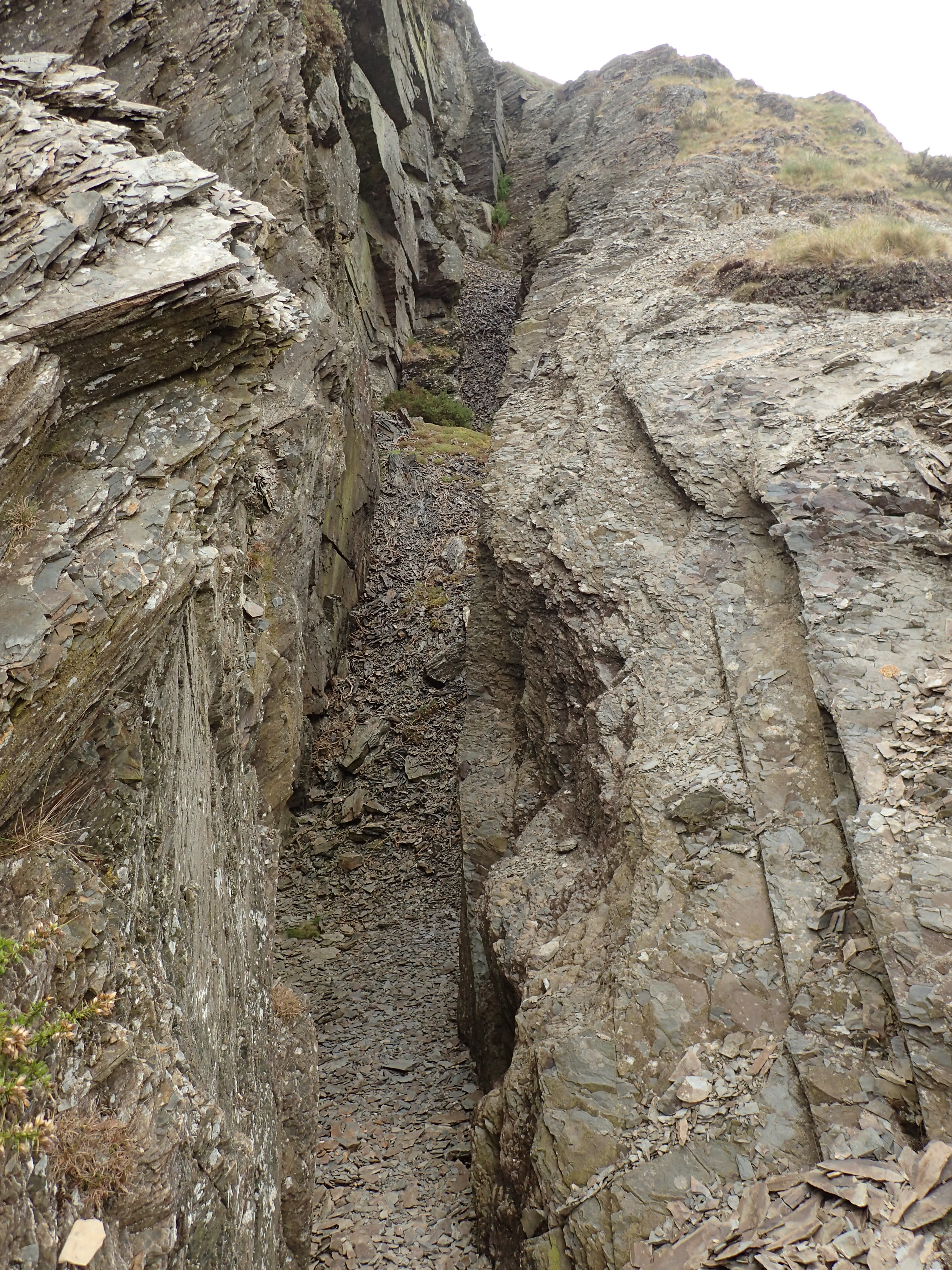
Waste tipped down the steep slopes above the River Ystwyth from the mine's adits is prominent enough to resemble natural scree from a distance; level entrances, shaft mouths and traces of a wheelpit also survive.
Related mines
- Esgair Mwyn Mine — Grogwynion's backers organised an armed raid on Esgair Mwyn in 1753 to seize it by force.
Nearby mines
- Frongoch Mine — 1.4 miles (2.2 km) N
- Logaulas Mine — 1.6 miles (2.6 km) E
- Esgair Mwyn Mine — 3.1 miles (4.9 km) SE
- Cwm Rheidol Mine — 3.9 miles (6.2 km) N
- Penrhiw Mine — 4.3 miles (6.9 km) N
Straight-line distance, within 9 miles (15 km). Show on the map.
Recorded claims
Individual factual claims, each attached to the source(s) that support it below. Where sources disagree, both are kept.
- Grogwynion was one of only four mines still working in Ceredigion in 1744, and continued intermittently — with recorded phases in the 1790s, 1850-1860, 1864-1865 and 1870-1889 — until its final closure. 1
- Ancient low galleries cut by hand with gads have reportedly been found within the mine, evidence of far earlier working than any documentary record. 1
- The British Geological Survey holds a plan of 'Grogwynion or Brynystwyth Mine' dating from 1882 (KP17016), catalogued for lead and silver and donated by the National Coal Board, which can be viewed online. 2
- Coflein records level entrances with their tips, shaft mouths, traces of a wheelpit, a flat-rod run and an engine shaft, and an opencast cutting about four feet wide along the vein outcrop; the mine appears on the 1888 Ordnance Survey county series sheet for Cardiganshire (XVI.3). 1
Photographs & further reading
The scanned plan of the mine, viewable online.
View sourceSources
- (primary) Grogwynion Lead Mine (Grogwinion; Brynystwyth) — Coflein (RCAHMW)
- (primary) Grogwynion or Brynystwyth Mine (BGS Mine Plans Catalogue) — British Geological Survey / National Coal Board
Record created: 22 August 2026 · Last researched: 24 September 2026