 MineArchive
Greenlaws Mine
| Location | Daddry Shield, Weardale, County Durham — 54.7274, -2.1731 (exact) |
|---|---|
| Commodity | Lead |
| Type | Metal |
| Worked | c. 1700 (workings recorded from 1725)–Late 1880s |
| Maximum depth | Specimen-recovery work has reached the first of the flats abandoned in 1897, at around 260 feet deep, via the Firestone level. |
| Operators | W. B. Lead Company (1850–1884), Weardale Lead Company |
Overview
A Weardale lead mine on the hillside south of Daddry Shield, opened around 1700 and worked chiefly by the Beaumont Company between 1850 and 1884, notable today for the spectacular purple and yellow fluorite specimens its east vein has yielded to a specimen-recovery project despite never becoming a commercial fluorspar producer.
History
Greenlaws Mine was opened around 1700, with mining activity recorded on the site itself from 1725. Two veins were worked -- a weaker vein to the west and a richer, more extensively worked vein to the east -- the Greenlaws East Vein being worked for lead by the Beaumont Company between 1850 and 1884, and for a few years afterwards by the Weardale Lead Company, before the mine closed. Over 50,000 tonnes of lead were produced from Weardale's mines between 1800 and 1900, of which Greenlaws was one contributor. In the 1940s an attempt was made to reopen the mine specifically for fluorspar, since the vein was known to contain notable spar deposits where the east vein intersected the Great Limestone, producing a series of vuggy, horizontal replacement orebodies -- known as flats -- rich in purple and amber fluorite; the venture proved unsuccessful, and Greenlaws never became a commercial fluorspar producer, its unusually low silica content notwithstanding. After official mining ended, tributers continued to extract material by hand, and specimens recovered in the late 19th and early 20th centuries were acquired by the West Cumbrian dealer John Graves and distributed via a London dealer, Butler of Brompton, to major collections including the Natural History Museum, which holds pieces from these transactions. Modern specimen-recovery work began in 2009, when a project group holding a mining lease -- and operating as a British Caving Association Access Controlling Body with appropriate insurance -- began digging out the mine's collapsed shaft; it took the team seven years to reach a depth of around 260 feet down the Firestone level, opening access to the first of the flats abandoned in 1897 and allowing purple and yellow fluorite to be recovered from Weardale for the first time since the county's mines originally closed.
Geology
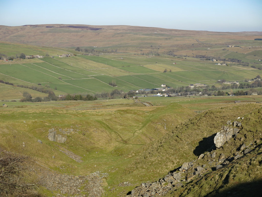
Two lead veins on the hillside south of Daddry Shield in Weardale: a weaker vein to the west and a richer, more extensively worked vein to the east, the Greenlaws East Vein.
Workings
Two veins, a weaker western vein and a richer eastern vein worked for lead by the Beaumont Company between 1850 and 1884; the east vein's intersection with the Great Limestone produced vuggy, horizontal replacement orebodies (flats) rich in purple and amber fluorite, reached via the Firestone level.
Closure
Closed after the Weardale Lead Company's brief post-Beaumont working; an unsuccessful 1940s attempt to reopen the mine for fluorspar did not lead to commercial production.
What remains
The Quarry Level -- the mine's primary drainage adit and processing site -- and the manager's former residence, Mine House, survive at the site; a modern project group has, since 2009, dug out the collapsed shaft down to around 260 feet to recover mineral specimens.
Mine House (the former manager's residence) beside the Quarry Level entrance, along with a reservoir originally built to supply water to power the mine's machinery.
Redevelopment
Since 2009, a specimen-recovery project group holding a mining lease and operating as a British Caving Association Access Controlling Body has worked to reopen the mine's collapsed shaft, recovering fluorite specimens rather than resuming any commercial mineral production.
Related mines
- Rookhope (Boltsburn Mine) — Both were Weardale Lead Company mines in the North Pennine orefield.
Nearby mines
- West Rigg Opencast — 0.2 miles (0.4 km) E
- Slitt Mine — 1.7 miles (2.8 km) NE
- Blackdene Mine — 1.8 miles (2.9 km) NW
- Heights Pasture Mine — 2.4 miles (3.8 km) NE
- Brandon Walls Mine — 2.8 miles (4.6 km) NE
Straight-line distance, within 9 miles (15 km). Show on the map.
Recorded claims
Individual factual claims, each attached to the source(s) that support it below. Where sources disagree, both are kept.
- Greenlaws Mine was opened around 1700, with mining activity recorded on the site from 1725; its richer east vein was worked for lead by the Beaumont Company between 1850 and 1884, and for a few years afterwards by the Weardale Lead Company, before the mine closed. 1
- An attempt was made in the 1940s to reopen Greenlaws specifically for fluorspar, given the notable spar deposits in its east vein, but the venture was unsuccessful and the mine never became a commercial fluorspar producer. 2,1
- Specimens recovered by tributers in the late 19th and early 20th centuries were acquired by the West Cumbrian dealer John Graves and distributed via the London dealer Butler of Brompton to major collections including the Natural History Museum. 2
- A project group holding a mining lease, and operating as a British Caving Association Access Controlling Body, began digging out the mine's collapsed shaft in 2009, taking seven years to reach a depth of around 260 feet and open access to the first of the flats abandoned in 1897. 2
Photographs & further reading
Newcastle University's Co-Curate project page on Greenlaws, with further historic photographs of the mine, its reservoir and surrounding hush.
View sourceSources
- (secondary) Greenlaws Mine and Reservoir, Daddry Shield — Co-Curate (Newcastle University)
- (secondary) Historic Greenlaws Mine, Weardale, project Update — Thomson Minerals
Record created: 30 August 2026 · Last researched: 31 August 2026