 MineArchive
Brandon Walls Mine
| Location | east bank of Rookhope Burn, about 2km downstream of Rookhope, County Durham — 54.7590, -2.1280 (approximate) |
|---|---|
| Commodities | Lead, Silver |
| Type | Metal |
| Worked | 1801–1903 |
| Maximum depth | The mine's shaft was around 110 metres deep. |
| Operators | Alexander Whaley and Company (1807–1862), Brandon Lead Mining Company (1862–1872), Rookhope Valley Mining Co. (1872–1903) |
Overview
A Weardale lead mine on Rookhope Burn, first leased in 1801, whose ore was unusually valuable for its silver content and whose well-preserved 19th-century wheel pit still survives beside the Weardale Way footpath.
History
Brandon Walls Mine lies on the east bank of the Rookhope Burn, about 2 kilometres downstream of Rookhope in Weardale. The site's history is documented at least as far back as a 1662 lease agreement between George Wraye of Beamish and the London merchants Henry Dacres and Anthony Earneing, though its main working period began when the Newcastle wine merchant Robert Jopling took a lease in 1801. Between 1836 and 1842 the mine yielded 257 tons of lead ore. By 1807 the property belonged to Colonel Beaumont and was leased to Alexander Whaley and Company; the ore was initially profitable well beyond its lead content alone, averaging some 6 ounces of silver per ton. From 1862 the site was worked by the Brandon Lead Mining Company until that company failed in 1872, when the Rookhope Valley Mining Co. took over, working it alongside the neighbouring Thorney Brow and Stotfield Burn mines. Brandon Walls was not worked intensively again after this period and was finally abandoned around 1903. A section of the mine and a plan of the Brandon Walls Mining Company's leased ground survive in the British Geological Survey's collection.
Geology
Lead of the Weardale orefield on Rookhope Burn, the ore unusually rich in silver at around 6 ounces to the ton.
Workings
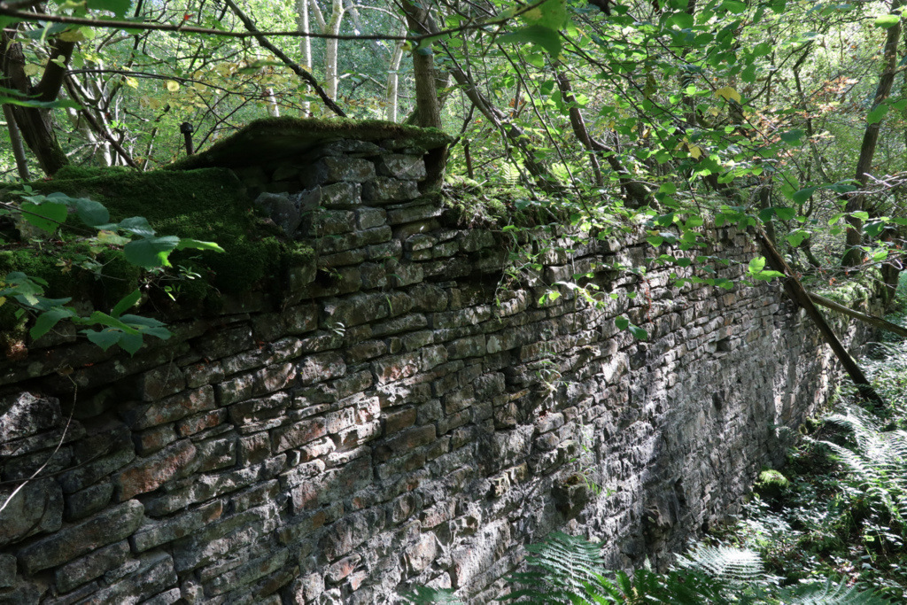
Pumped via a c.13m diameter overshot waterwheel housed in a wheel pit measuring c.13m by 3m, powering pumps in a shaft around 110 metres deep.
Closure
Not worked intensively after the Rookhope Valley Mining Co.'s tenure from 1872; finally abandoned around 1903.
What remains
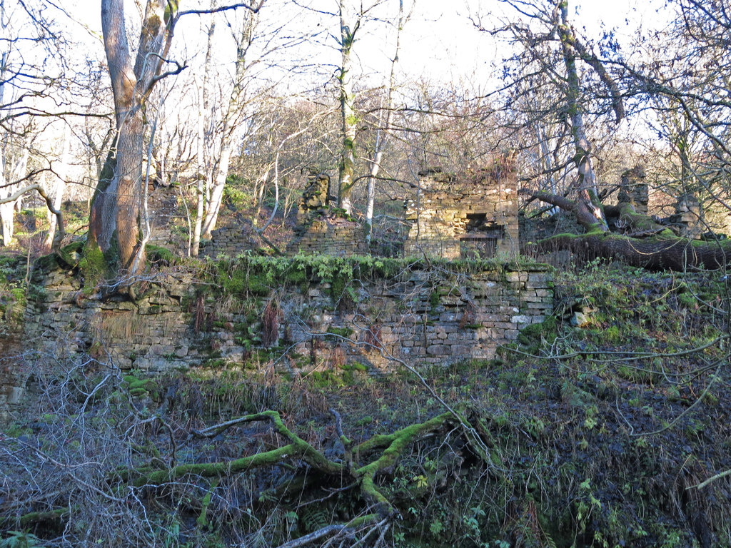
The wheel pit survives nearly complete, along with a shaft, pump settings, the earthwork remains of an ore-processing area and the ruined stone shell of a mine smithy; the site is crossed by the Weardale Way public footpath and used as an educational resource.
A near-complete wheel pit, shaft and pump settings, ore-processing earthworks, and a ruined smithy.
Related mines
- Stotsfield Burn Mine — Both were worked by the Rookhope Valley Mining Company, the concern credited with developing Stotsfield Burn between 1863 and 1884 — two of its Rookhope-area setts in the same stretch of upper Weardale.
Nearby mines
- Wolfcleugh Mine — 0.9 miles (1.4 km) NW
- Stotsfield Burn Mine — 0.9 miles (1.5 km) E
- Heights Pasture Mine — 1.1 miles (1.8 km) S
- Slitt Mine — 1.1 miles (1.8 km) SW
- Cambokeels Mine — 1.8 miles (2.8 km) SE
Straight-line distance, within 9 miles (15 km). Show on the map.
Recorded claims
Individual factual claims, each attached to the source(s) that support it below. Where sources disagree, both are kept.
- Brandon Walls Mine yielded 257 tons of lead ore between 1836 and 1842; the ore averaged around 6 ounces of silver per ton, well beyond its lead value alone. 1
- The mine was worked by the Brandon Lead Mining Company from 1862 until its 1872 failure, after which the Rookhope Valley Mining Co. took over, working it with the neighbouring Thorney Brow and Stotfield Burn mines until abandonment around 1903. 2
- A section of Brandon Walls Mine is held in the British Geological Survey's mine-plan collection (MP18653), with a plan of the Brandon Walls Mining Company's leased property and a further Brandon Walls plan beside it. 3
Photographs & further reading
The official Scheduled Monument listing.
View sourceSources
- (primary) Brandon Walls lead mine and ore works (List Entry 1015831) — Historic England
- (secondary) Brandon Walls Mine near Rookhope (self-guided trail) — North Pennines National Landscape
- (primary) SECTION OF BRANDON WALLS MINE (Mine plan MP18653, BGS mine plans catalogue) — British Geological Survey / Mining Remediation Authority
Record created: 1 September 2026 · Last researched: 24 September 2026