 MineArchive
Dylife
| Location | Dylife, Powys — 52.5486, -3.7213 (approximate) |
|---|---|
| Commodities | Lead, Copper, Silver, Zinc |
| Type | Metal |
| Worked | 1640–1901 |
| Operators | Hugh Williams and John Pughe (1815–1850), The Dylife Mining Co. Ltd (1858–1873) |
Overview
Dylife, high in the Cambrian Mountains, was once a boomtown of over a thousand people built entirely around lead mining — complete with one of the largest waterwheels ever built in mainland Britain. Today almost nothing of the settlement survives beyond a chapel-turned-house and a pub.
History
Lead may have been worked at Dylife as early as the Roman period, possibly linked to the nearby fortlet of Penycrocbren, but the first clearly recorded working dates from around 1640, under Thomas Bushell. The mine was worked intermittently through the 18th century before Hugh Williams and John Pughe secured a lease in 1815 and ran the operation into the 1850s. In 1858 the Dylife Mining Company Ltd took over — its transfer involving the prominent Victorian politicians Richard Cobden and John Bright — and installed new shafts, lifts and cable haulage systems, alongside notably progressive worker facilities including changing rooms. Production peaked in 1863, with 2,571 tons of lead ore raised the previous year alone, and a rail connection to the Aberystwyth–Shrewsbury line opened nearby at Llanbrynmair in 1864. Falling lead prices brought steady decline from the mid-1860s onward; the owners sold up in 1873 as profitability collapsed, and after two further companies failed in turn, large-scale mining ceased in 1884. Small, informal efforts to keep working the site continued for a few more years, but the mine was finally closed and allowed to flood in 1901.
Geology
Dylife worked three connected lead- and zinc-bearing lodes — the Dylife, Esgairgaled and Llechwedd Ddu veins — in the Cambrian Mountains uplands of mid Wales.
Geological setting: Veins and Lodes (well documented example)
Workings
The mine's most notable technical feature was the Rhod Goch ("Red Wheel"), at 63 ft in diameter one of the largest waterwheels ever erected in mainland Britain, used to power pumping and haulage. New shafts, lifts and cable systems were added from 1858 onward as the Dylife Mining Company modernised the site.
Closure
Large-scale mining effectively ended in 1884 after two successive companies failed following the original owners' 1873 sale; some smaller, informal working continued for a few more years before the site was finally closed and allowed to flood in 1901.
What remains
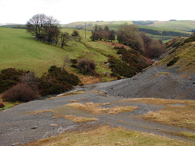
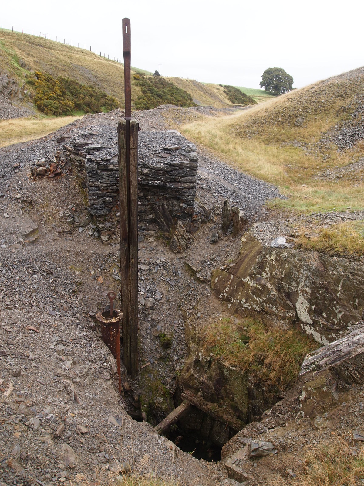
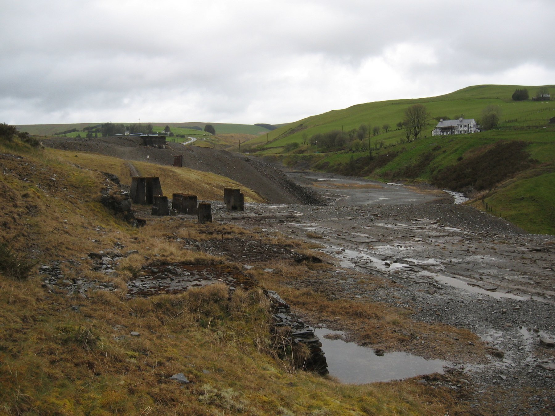
Recorded production from 1845 onward totalled around 37,000 tons of lead ore, 1,540 tons of copper ore, 390 tons of zinc ore and roughly 160,000 ounces of silver. Little remains of the once-substantial settlement, which at its peak was one of the largest villages in the district. A 2010 site visit found the Rhod Goch wheelpit — known locally as the Martha Wheel — about 40 ft deep and restored in 2005, with the Llechwedd shaft, several adits and old lead flues still traceable among the spoil; the same account describes frequent collapses and new adits opening after heavy rain.
Surviving structures are limited to two former chapels, now converted into private homes, and the Star Inn, which remains open as a pub.
Redevelopment
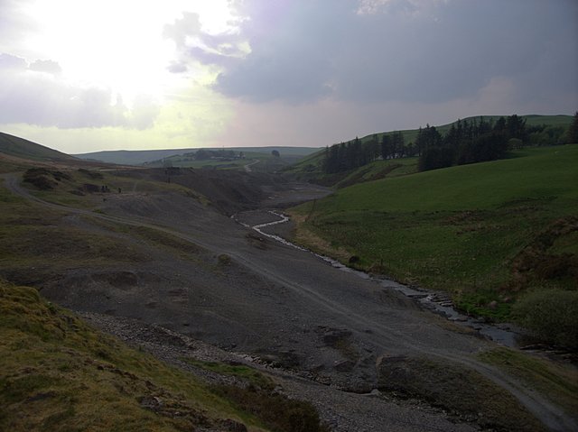
The wider site — spoil heaps, shafts, adits and ruined structures including wheelpits and leats — survives as a largely unredeveloped historic mining landscape. Natural Resources Wales holds it responsible for the Afon Twymyn and the Nant Dropyns failing Water Framework Directive standards for zinc, lead and cadmium as far downstream as the Dyfi confluence, and calls Dylife a major source of metals to that catchment; temporary works to control erosion and improve surface drainage have been completed, with detailed design of longer-term measures to follow.
Nearby mines
- Nantiago Mine — 6.0 miles (9.6 km) S
- Plynlimmon Mine — 6.0 miles (9.6 km) S, Ceredigion
- Esgair Hir and Esgair Fraith Mines — 6.9 miles (11.1 km) SW
- Llwyngwern Quarry — 7.1 miles (11.5 km) NW
- Rhyd Fach Mine — 7.4 miles (11.8 km) SW, Ceredigion
Straight-line distance, within 9 miles (15 km). Show on the map.
What's uncertain
Points where sources disagree or the record could not be settled; both accounts are kept. All open questions in the archive.
- The 1858 transfer of the Dylife mining interests to the Dylife Mining Co. Ltd involved the prominent Victorian politicians Richard Cobden and John Bright. (uncertain) 1
- A site visit in September 2010 found the Martha Wheel pit — the wheelpit of the Rhod Goch — some 40 ft deep and restored in 2005, with the Llechwedd shaft, several adits and old lead flues traceable among the spoil, and wooden pipework surviving near one adit mouth. The visitor described the stream disappearing and reappearing repeatedly into old workings, frequent collapses, and new adits opening after heavy rain. (uncertain) 3
- Accounts differ on how big the settlement grew: the figure usually given is over a thousand people, while Powys County Archives puts the community at around 1,500 at its height. (uncertain) 5
Recorded claims
Individual factual claims, each attached to the source(s) that support it below. Where sources disagree, both are kept.
- Large-scale mining at Dylife effectively ended in 1884 when two successive companies failed in turn; smaller informal working continued until the site was finally closed and flooded in 1901. 1
- The Rhod Goch (Red Wheel) at Dylife, 63 ft in diameter, was one of the largest waterwheels ever erected in mainland Britain. 1
- The 1858 transfer of the Dylife mining interests to the Dylife Mining Co. Ltd involved the prominent Victorian politicians Richard Cobden and John Bright. (uncertain) 1
- The Coal Authority holds nine abandonment sheets for Dylife, catalogued together under the names Dylife, Bradford, Esgair-galed and Llechwedd Du — independently corroborating the three connected lodes the mine was worked on — alongside a BGS location plan filed as Dylife or Blaen Twymyn mine. 2
- A site visit in September 2010 found the Martha Wheel pit — the wheelpit of the Rhod Goch — some 40 ft deep and restored in 2005, with the Llechwedd shaft, several adits and old lead flues traceable among the spoil, and wooden pipework surviving near one adit mouth. The visitor described the stream disappearing and reappearing repeatedly into old workings, frequent collapses, and new adits opening after heavy rain. (uncertain) 3
- Natural Resources Wales holds Dylife responsible for the Afon Twymyn and its tributary the Nant Dropyns failing Water Framework Directive standards for zinc, lead and cadmium, with the river below 'Good status' all the way to its confluence with the Dyfi; it calls the site a major source of metals to the Dyfi catchment. Temporary engineering works to control erosion and improve surface drainage have been completed, with detailed design of longer-term measures to follow. 4
- Accounts differ on how big the settlement grew: the figure usually given is over a thousand people, while Powys County Archives puts the community at around 1,500 at its height. (uncertain) 5
Photographs & further reading
Further freely-licensed photographs of the surviving mine workings and landscape.
View sourceSources
- (secondary) Dylife — Wikipedia
- (primary) Dylife mine plans (BGS/Coal Authority catalogue) — British Geological Survey / The Coal Authority
- (observational) Dylife mines — Derelict Places
- (primary) Dylife Lead & Zinc Mine — Natural Resources Wales
- (secondary) Victorian Llanidloes — Dylife lead mine — Powys County Archives
Record created: 19 August 2026 · Last researched: 28 August 2026