 MineArchive
Cwmystwyth Mines
| Location | Cwmystwyth, Ceredigion — 52.3605, -3.7541 (exact) |
|---|---|
| Commodities | Lead, Copper, Silver, Zinc |
| Type | Metal |
| Worked | Bronze Age–1950 |
Overview
Cwmystwyth is one of the most important metal-mining sites in Wales, worked on and off for around 4,000 years — from Bronze Age copper working through Roman-era lead extraction to a 19th-century peak in lead, silver and zinc, before finally closing in 1950. It's a Scheduled Ancient Monument, and still an active source of metal contamination in the River Ystwyth today.
History
The earliest mining at Cwmystwyth dates to the Early Bronze Age, when copper was worked from the Comet lode in an opencast on Copa Hill — among the oldest known metal mines in Britain. In 2002 excavation nearby uncovered the Banc Ty'nddôl sun-disc, a gold artefact over 4,000 years old and the earliest piece of gold metalwork yet found in Wales. Lead has been worked here since at least Roman times, and the site probably came under the control of Strata Florida Abbey during the medieval period, when it lay within the abbey's Cwmystwyth grange.
Silver, lead and zinc mining peaked in the 18th century, with water extensively used for hushing, prospecting and ore processing via leats carried along the valley contours from upstream. Activity increased further from 1750, reaching its most productive period in the mid-19th century, before declining through the late 19th and early 20th centuries as ore reserves depleted and cheaper foreign competition undercut prices. The mine was worked intermittently, at varying profitability, until final abandonment in 1950.
Geology
The site exploits lead-, silver- and zinc-bearing veins alongside earlier Bronze Age copper workings, within the Cambrian Mountains of mid Wales.
Geological setting: Veins and Lodes (well documented example)
Workings
Working methods spanned four millennia, from Bronze Age opencast working of surface lodes to sophisticated 18th- and 19th-century operations using water-powered machinery fed by contour leats for pumping, ore crushing and processing.
Closure
The mine closed for the final time in 1950 after a long decline driven by depleted ore reserves, rising production costs and foreign competition.
What remains
The site continues to discharge significant quantities of metal contamination into the River Ystwyth: Natural Resources Wales estimates around 12 tonnes of zinc, 2 tonnes of lead and 30 kg of cadmium enter the river from the site each year, causing it to fail Water Framework Directive standards, with elevated zinc detectable as far away as Cardigan Bay. Water quality has nonetheless improved substantially since mining ended: surveys found only 9 aquatic species and lead at 0.4 mg/L in 1919, rising to 63 species and lead below 0.05 mg/L by 1939, with fish returning to most of the river by 1975 — though a roughly 3 km stretch immediately below the mine remained fish-free at that point.
Extensive surface remains survive across the site, reflecting nearly four millennia of activity, and it is designated a Scheduled Ancient Monument within the Upland Ceredigion Landscape of Historic Interest.
Redevelopment
Natural Resources Wales has proposed a phased remediation programme: watercourse and surface-water management with erosion control on the spoil heaps first, then twelve months of monitoring to inform the design of a mine-water treatment system as the longer-term measure. A feasibility study, ground investigations, heritage and ecological assessments, topographical and geophysical surveys and water quality monitoring had all been completed by 2020 to inform the outline design.
Nearby mines
- Logaulas Mine — 4.6 miles (7.5 km) SW
- Bwlchgwyn Mine — 4.8 miles (7.7 km) NW
- Esgair Mwyn Mine — 4.9 miles (7.8 km) SW
- Penrhiw Mine — 4.9 miles (7.8 km) NW
- Ystumtuen Mine — 5.1 miles (8.2 km) NW
Straight-line distance, within 9 miles (15 km). Show on the map.
What's uncertain
Points where sources disagree or the record could not be settled; both accounts are kept. All open questions in the archive.
- Average miner lifespan at Cwmystwyth has been estimated at just 32 years, attributed to acute lead poisoning from the ore being worked. (uncertain) 1
- A September 2018 report on Level Fawr describes an original mine dram still in place underground, alongside evidence of relatively recent maintenance such as newly installed ladders. (uncertain) 3
Recorded claims
Individual factual claims, each attached to the source(s) that support it below. Where sources disagree, both are kept.
- In 2002, excavation near the mine uncovered the Banc Ty'nddôl sun-disc, a gold artefact over 4,000 years old and the earliest piece of gold metalwork yet found in Wales. 1
- The site is estimated to discharge around 12 tonnes of zinc, 2 tonnes of lead and 30 kg of cadmium into the River Ystwyth annually, causing the river to fail Water Framework Directive standards. 2
- Average miner lifespan at Cwmystwyth has been estimated at just 32 years, attributed to acute lead poisoning from the ore being worked. (uncertain) 1
- A September 2018 report on Level Fawr describes an original mine dram still in place underground, alongside evidence of relatively recent maintenance such as newly installed ladders. (uncertain) 3
- The BGS and Coal Authority hold 22 catalogued plan records for Cwmystwyth, several with publicly viewable scans. They include separate plans for Cwmystwyth West and Cwmystwyth South, an Ordnance Survey sheet of the area (1904 revision with 1948 additions), and a combined abandonment plan that names the individual setts worked here — Bonsall's, Dick's, Evan's, Fawr, Gill's, Jackula's, Kingside, Mitchell's, Oliver's, Penglin, Pugh's, Roman, Rosa and Taylor's. 4
- Natural Resources Wales completed a feasibility study for Cwmystwyth by 2020, along with ground investigations, heritage and ecological assessments, topographical and geophysical surveys and water quality monitoring. Its proposed strategy runs in three stages: enabling works on surface water and watercourse management, then twelve months of monitoring, then the design, construction and long-term operation of a mine water treatment system. 2
Photographs & further reading
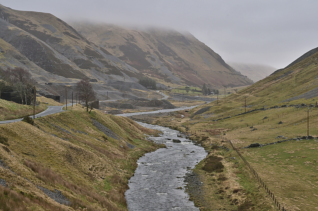
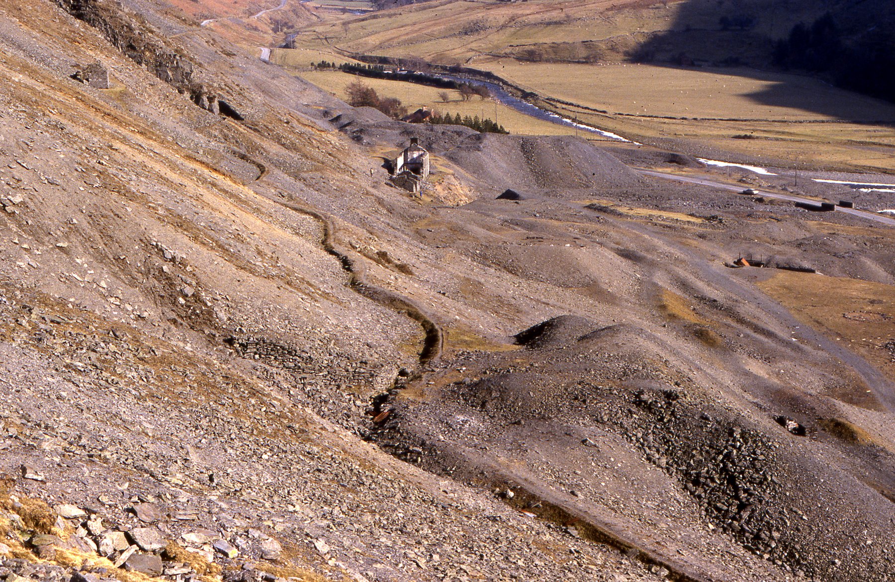
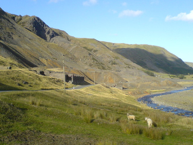
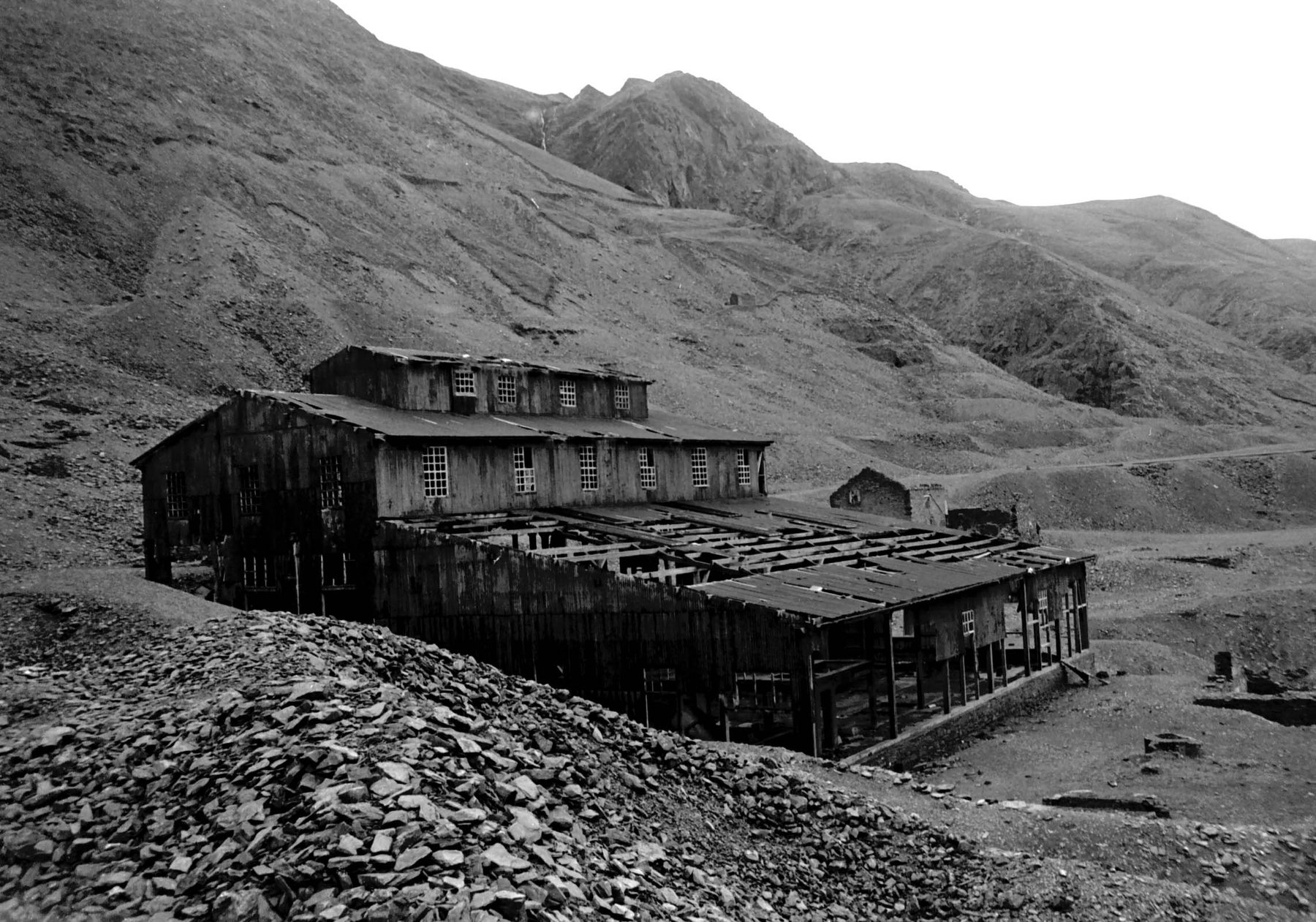
Further freely-licensed photographs of the workings and surrounding valley.
View sourceA September 2018 report exploring Level Fawr at Cwmystwyth, including the drainage adit, ore chutes, timbered passages, ladders and a skipway, ending at a dead-end drivage following a galena vein.
View sourceSources
- (secondary) Cwmystwyth Mines — Wikipedia
- (primary) Cwmystwyth Lead Mine — Natural Resources Wales
- (observational) Level Fawr, Cwmystwyth, Ceredigion — September 2018 — 28DaysLater
- (primary) Cwmystwyth mine plans (BGS/Coal Authority catalogue) — British Geological Survey / The Coal Authority
- (secondary) Cwmystwyth History — Ceredigion Historical Society
Record created: 19 August 2026 · Last researched: 28 August 2026