 MineArchive
Hushing
| Category | Prospecting & Exploration |
|---|
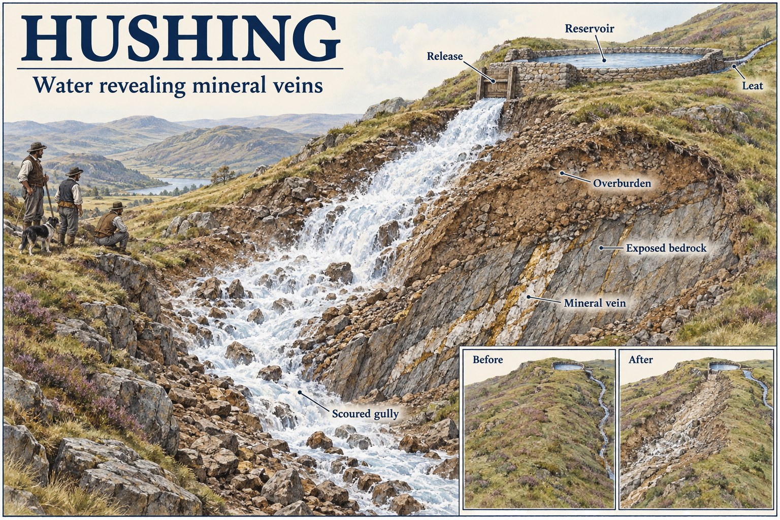
A prospecting and extraction method in which a sudden torrent of stored water is released down a slope to strip away soil and loose overburden and expose the bedrock and any mineral veins beneath.
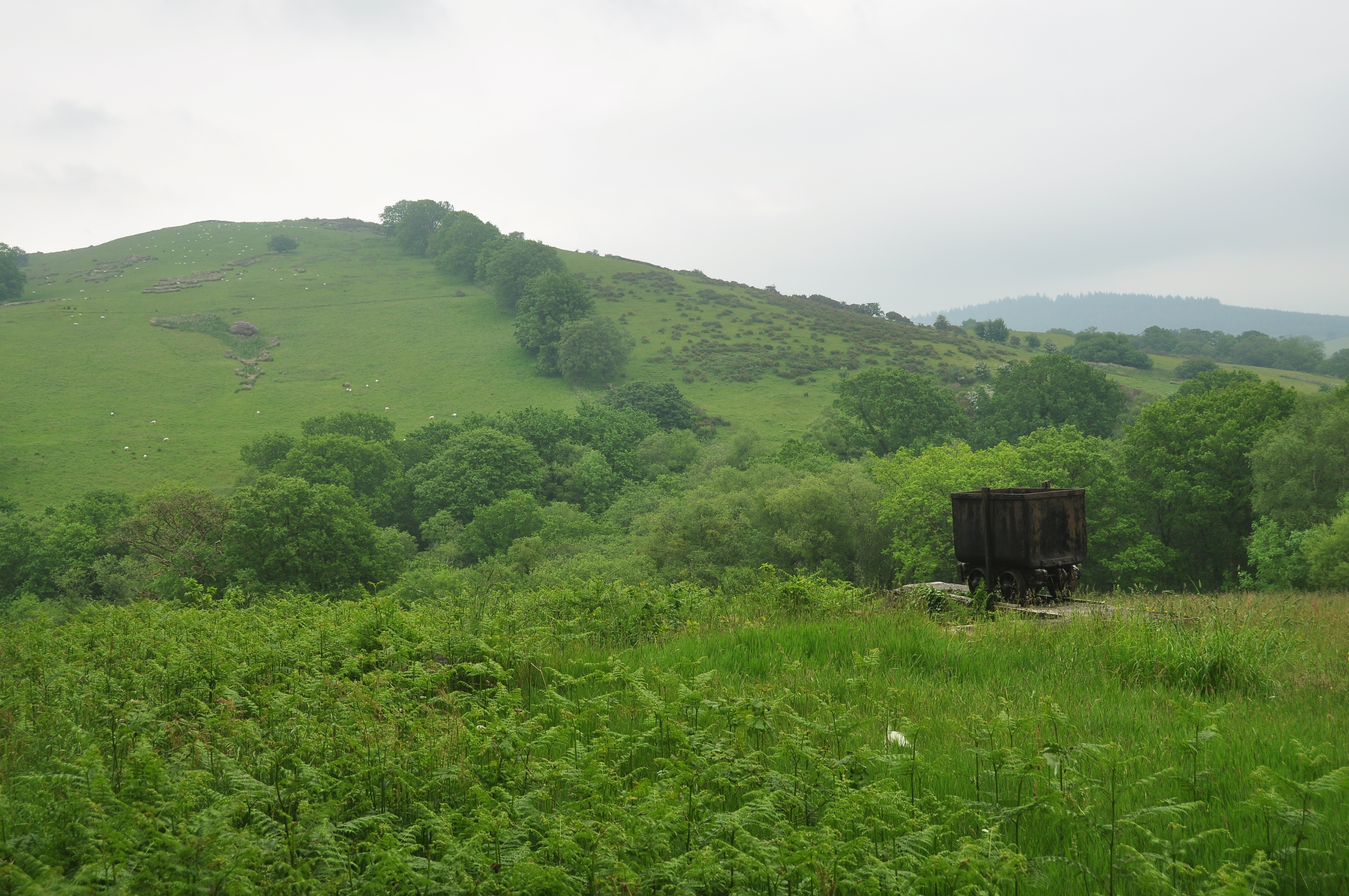
Historical usage
An ancient method, used by Roman miners and by later prospectors: the Romans applied it on a large scale to gold at Dolaucothi, and it remained in use for prospecting in British lead districts long after Roman Britain ended.
How it worked
Water, built up in a reservoir or leat above the target ground, was released in a single controlled flood; the torrent scoured away topsoil and gravel, exposing bedrock so any veins running through it could be seen and worked. The Romans used the method extensively for gold prospecting and extraction at Dolaucothi in Wales, supplied by an aqueduct system running some seven miles from the River Cothi, and hushing continued in use for prospecting long after Roman Britain ended.
Why it was used
Hushing let prospectors strip large areas of ground quickly, without hand-digging through soil and loose rock first, to find and assess mineral veins that gave no obvious surface trace of their own — a much faster method than digging trial pits across a whole hillside by hand.
Regional variation
Hushing is recorded across a number of British mining districts, but its most famous and best-preserved use is at Dolaucothi, Britain's only confirmed Roman gold mine, where the characteristic scoured gullies and hillside scars it left behind remain visible today.
Related terminology
Mines associated with this term
5 examples chosen from 19 linked records — the term page is not an index.
- Dolaucothi Gold Mines — Carmarthenshire (well documented example)
The mine's own recorded history describes hushing as a prospecting or extraction method used on site. - Arkendale Mine — North Yorkshire (well documented example)
Named in this record’s geology: “…and were followed both underground and, in the earlier centuries, by hushing from the surface.” - Cash Well Mine — Cumbria (well documented example)
Named twice in this record, first in the summary: “…sea level. It worked the Cashwell vein, at first from the surface by hushing and opencutting and later through a series of levels driven from the…” - Coldberry Mine — County Durham (well documented example)
Named in this record’s workings: “…incline, one of only two known in the North Pennines. Water for hushing and dressing came along a stone-lined leat from at least 1.25 km to…” - Craig-y-Mwyn Mine — Powys (well documented example)
The mine's own recorded workings explicitly describe an extensive hushing system of channels, watercourses and reservoirs used to strip surface material and expose the lead vein.
Sources
- (secondary) Early leats and hushing remains: suggestions and disputes of Roman mining and prospection for lead — ResearchGate
- (secondary) Hushing — Wikipedia
Record created: 22 August 2026 · Last researched: 22 August 2026