 MineArchive
Calverton Colliery
| Location | Calverton, north-east of Nottingham, Nottinghamshire — 53.0455, -1.1012 (exact) |
|---|---|
| Commodity | Coal |
| Type | Coal |
| Worked | June 1937 (first shaft); opened 24 September 1952–16 April 1999 |
| Maximum depth | 527 m (No. 1 shaft) and 514 m (No. 2), per the Nottinghamshire Mining Museum. |
| Operators | B. A. Collieries Ltd (1938–1947), National Coal Board (1947–1987), British Coal Corporation (1987–1993), RJB Mining (1994–1999) |
Overview
A colliery that began in 1937 as a ventilation and man-riding shaft for Bestwood and became, in 1952, the first new colliery opened by the National Coal Board. A new village grew around it, from about 1,300 people to over 5,600 within ten years. British Coal closed it in November 1993; RJB Mining reopened it and finally stopped in April 1999.
History
Work began at Calverton in June 1937, when the Seely family's Babbington Colliery Co. started sinking a shaft to provide ventilation and man-riding for the Top Hard workings of Bestwood Colliery. In 1938 the company passed to the Bestwood Coal and Iron Company, soon renamed B. A. Collieries Ltd. The 18 ft 2 in shaft was finished early in 1939, and by September a canteen, pithead baths, lamp room, offices and 22 houses of a planned colliery village had been built to designs by Geoffrey Jellicoe, before the war halted work. The National Coal Board sank No. 2 shaft from January 1946 to June 1950, freezing and tubbing it, and on 24 September 1952 Lord Leathers officially opened Calverton as the NCB's first new colliery, with the board's chairman wishing it 'God speed'; it was planned to produce a million tons a year for a hundred years. Coal winding from the High Main seam began in March 1953. The village grew from 1,304 people in 1951 to 5,658 in 1961, and in 1954 the Yorkshire Post reported men leaving Mexborough pits for Calverton's new houses. Peak manpower was 1,837 in 1958 and peak output 1,243,056 tons in 1963-64 with 1,487 men. The mine pioneered Dowty Roofmaster hydraulic supports in 1957 and was chosen in the 1980s as a trial colliery for computerised plans. British Coal announced closure in 1992 and shut the pit on 19 November 1993, when 648 men remained. RJB Mining bought it with the core English coalfield in December 1994 and reopened it, but announced closure on 9 April 1999, citing deteriorating geology, and coal production ended on 16 April. Gedling Borough Council records 19 miners killed in its working life.
Geology
Seams of the concealed Nottinghamshire coalfield: the Top Hard (worked from Bestwood through the first shaft), the High Main at about 350 metres from 1953 to 1977, the Low Bright or Brinsley (later called Abdy/Brinsley) from 1972 to 1993, and the High Hazles from 1981. A ten-foot fault was met in the south headings in 1952, and disturbed ground and a washout were encountered in the High Main.
Geological setting: Sedimentary Beds and Seams (well documented example)
Workings
Two shafts: No. 1, 18 ft 3 in, for men and materials, and No. 2, 20 ft 3 in, winding coal in skips of 10.5 tons, later 12.5. The High Main was reached from the shaft bottom; drifts at 1 in 5 led down to the Brinsley and on to the High Hazles, served by locomotive, rope and trapped-rail haulage and manriding conveyors. A coal preparation plant of 450 tons an hour opened in 1954, and headings connected the mine with Linby in 1963.
Closure
British Coal closed Calverton on 19 November 1993 after losing over £6 million between May and November that year. RJB Mining reopened it after buying the core English coalfield in December 1994, then announced its closure on 9 April 1999 because of deteriorating geological conditions; production ended on 16 April 1999.
What remains
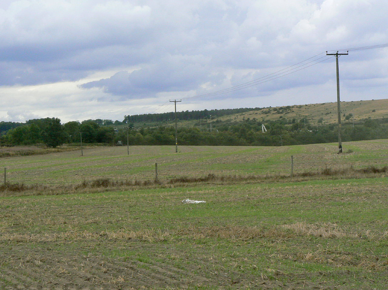
The colliery site has been cleared; the village built for its workforce remains.
Little or nothing of the colliery; the housing built for its workforce, including Geoffrey Jellicoe's 1937 colliery village, survives in Calverton.
Redevelopment
Unknown.
Related mines
- Bestwood Colliery — Calverton's first shaft, sunk 1937-39, was an intake and man-riding shaft for Bestwood's Top Hard workings, reached by the Calverton Head driven from Bestwood.
- Linby Colliery — Headings from Linby were connected to Calverton's 30s district in 1963, and Calverton's early prepared coal went by lorry to Linby.
Nearby mines
- Bestwood Colliery — 6.2 km W
- Gedling Colliery — 6.2 km S
- Linby Colliery — 6.7 km W
- Hucknall Colliery — 7.0 km W
- Newstead Colliery — 7.0 km W
Straight-line distance, within 15 km. Show on the map.
People
- Mick Clayton · surveyor — Surveyor who developed Calverton's trial computerisation of mine plans in the 1980s.
- Lord Leathers · official, 1952 — Officially opened Calverton Colliery on 24 September 1952 as Minister for the Coordination of Transport, Fuel and Power.
- Jack Weston · worker — Master sinker at Calverton; he and his team went on to sink Cotgrave.
What's uncertain
Points where sources disagree or the record could not be settled; both accounts are kept. All open questions in the archive.
- Calverton was officially opened on 24 September 1952 by Lord Leathers, the first new colliery opened by the National Coal Board; coal winding began in March 1953. (disputed) 1,2
- The colliery was officially opened in 1950 as the first new colliery of the National Coal Board. (disputed) 3
- Production commenced in 1948. (uncertain) 4
- The shafts were 576 yards (527 m) and 562 yards (514 m) deep. (disputed) 1,2
- The first (downcast) shaft, 5.5 m in diameter, was 378.5 m (1,241 ft) deep. (disputed) 3
- Calverton colliery closed in 1995 and the site was cleared. (disputed) 3
Recorded claims
Individual factual claims, each attached to the source(s) that support it below. Where sources disagree, both are kept.
- Work on the first shaft began in June 1937 under the Seely family's Babbington Colliery Co., to give ventilation and man-riding to Bestwood's workings; the company was taken over in 1938 by the Bestwood Coal and Iron Company, soon renamed B. A. Collieries Ltd. 1,2
- Calverton was officially opened on 24 September 1952 by Lord Leathers, the first new colliery opened by the National Coal Board; coal winding began in March 1953. (disputed) 1,2
- The colliery was officially opened in 1950 as the first new colliery of the National Coal Board. (disputed) 3
- Production commenced in 1948. (uncertain) 4
- No. 2 shaft, 20 ft 2 in diameter, was sunk by the National Coal Board from January 1946 to June 1950 using cast-iron tubbing and freezing. 1
- The shafts were 576 yards (527 m) and 562 yards (514 m) deep. (disputed) 1,2
- The first (downcast) shaft, 5.5 m in diameter, was 378.5 m (1,241 ft) deep. (disputed) 3
- Maximum output was 1,243,056 tons in 1963/64 with 1,487 men; maximum manpower 1,837 in 1958. 1,3
- Colliery housing by G. A. Jellicoe, 1937; Calverton's population rose from 1,304 in 1951 to 5,658 in 1961. 5,2
- British Coal closed the colliery on 19 November 1993. 1,4,2
- RJB Mining reopened Calverton after December 1994 and announced its closure on 9 April 1999, citing deteriorating geological conditions; production ended on 16 April 1999. 2
- Calverton colliery closed in 1995 and the site was cleared. (disputed) 3
- During 41 years of operation 19 miners were killed and more than 31,500,000 tons of saleable coal produced. 3
- The BGS / Mining Remediation Authority mine-plans catalogue holds plans filed under 'CALVERTON'. 6
Photographs & further reading
An aerial photograph of the former colliery site taken in 2014.
View sourceSources
- (secondary) Calverton Colliery — Nottinghamshire Mining Museum
- (secondary) Calverton, Nottinghamshire — Wikipedia
- (secondary) Calverton Colliery (1952 - 1995) — Gedling Borough Council
- (primary) M2865 - Calverton Colliery — Nottinghamshire Historic Environment Record
- (primary) M17595 - Calverton Colliery Village — Nottinghamshire Historic Environment Record
- (primary) BGS / Mining Remediation Authority mine plans: CALVERTON — British Geological Survey
Record created: 21 September 2026 · Last researched: 21 September 2026