 MineArchive
Kilmersdon Colliery
| Location | Haydon, near Radstock (also known as Haydon Pit), Somerset — 51.2700, -2.4380 (exact) |
|---|---|
| Commodity | Coal |
| Type | Coal |
| Worked | February 1875–August 1973 |
| Maximum depth | around 500 metres (1,600 feet) |
| Operators | Writhlington Collieries (1875–1947), National Coal Board (1947–1973) |
Overview
One of the last two working collieries in the Somerset coalfield, worked from 1875 and famous for its 1877 rope-worked gravity incline — the last of its kind still working industrially anywhere in Britain when the pit finally closed in 1973, bringing to an end a Somerset coal industry documented as far back as 1437.
History
Coal working in the Kilmersdon area is documented as far back as 1437, but the colliery itself was established from February 1875 as part of the Writhlington group of collieries, reached by a network of tunnels driven from an entrance in the nearby hamlet of Haydon — giving it its alternative name, Haydon Pit. Kilmersdon was nationalised into the National Coal Board in 1947 along with the rest of Britain's coal industry, and by the later 20th century had become one of the deepest mines in Britain, reaching around 500 metres. It closed in August 1973 together with the neighbouring Writhlington colliery, bringing the entire North Somerset coalfield to an end — an industry that, at its early 20th-century peak in 1901, had comprised 79 separate working collieries producing 1.25 million tons of coal a year, and whose closure was hastened by nearby Portishead Power Station's conversion from coal to oil.
Geology
The North Somerset coalfield worked Pennant Sandstone coal measures of Upper Carboniferous age, a geologically difficult and heavily faulted field compared with Britain's larger coalfields, with seams at Kilmersdon around four feet high — a major reason the field closed relatively early compared with more productive coal-mining regions.
Geological setting: Faults and Fractures (historical documentary reference)
Workings
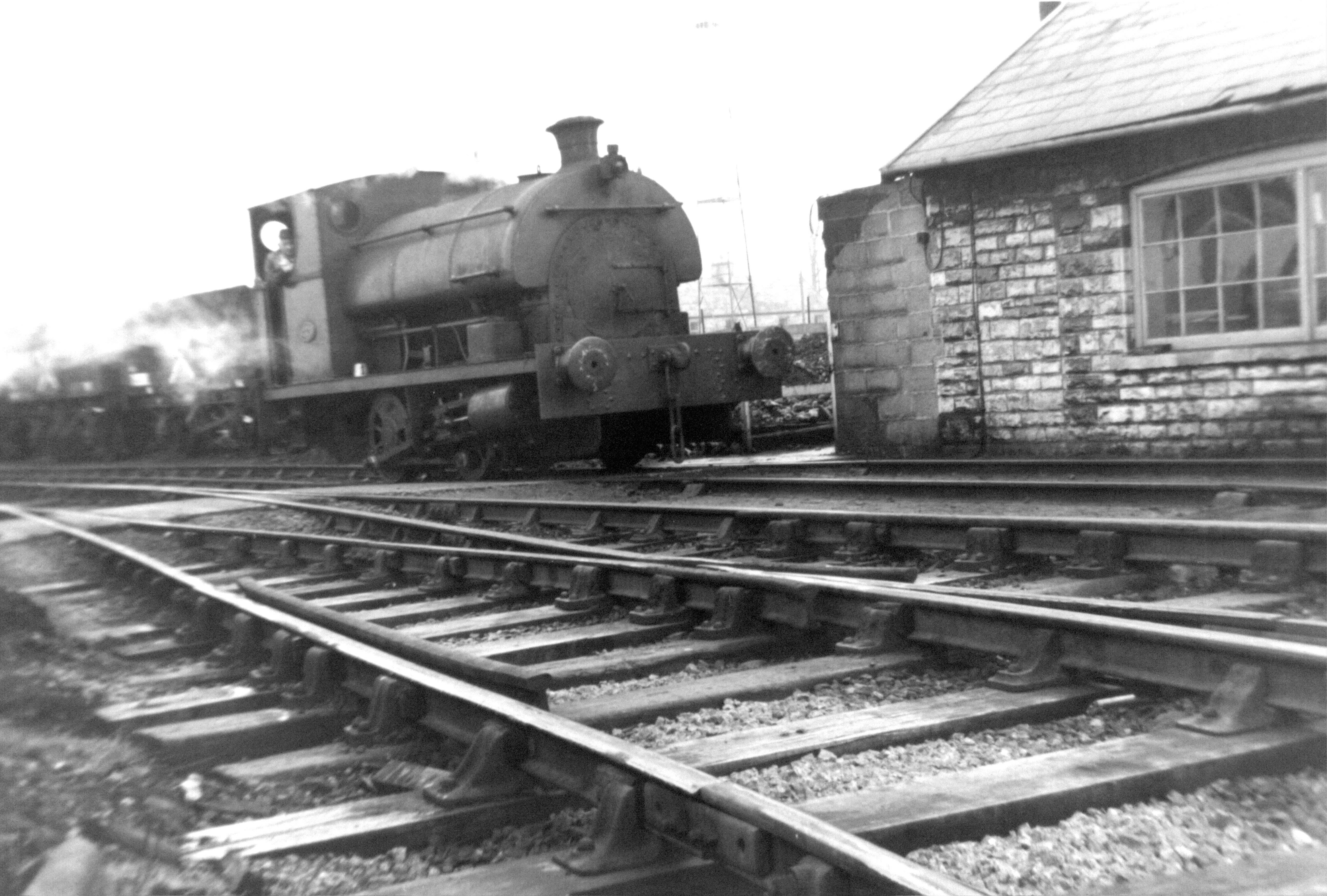
Coal was worked by the 'topple down' method, with carting boys hauling cut coal by tram to the main haulage; trams moved at up to 90 an hour (around 85 tonnes) to be loaded into standard-gauge 16-ton railway wagons for onward transport. Kilmersdon's best-known feature was its 1877 double-track gravity incline, 160 yards long on a 1-in-4 gradient, which used the weight of descending loaded wagons to haul the empty ones back up — by the time of the colliery's closure, the last gravity-working industrial rope incline still operating anywhere in the United Kingdom.
Closure
Kilmersdon closed in August 1973 together with Writhlington, ending the North Somerset coalfield entirely; the shafts were filled and surface buildings demolished soon after, with the former joint-railway structures following in 2005.
What remains
The former colliery site has been landscaped, and the route of its railway now forms part of National Cycle Route 24, known as the Colliers Way. Radstock Museum preserves the wider social and industrial history of the Somerset coalfield, and one of Kilmersdon's own steam locomotives survives in preservation on a heritage railway.
Related mines
- Norton Hill Colliery — A neighbouring Somerset pit 0.7 km away that outlasted Norton Hill by seven years; Norton Hill's Hunslet locomotive went to Kilmersdon when this pit closed in 1966.
- Writhlington Colliery — The last two working pits of the North Somerset coalfield, closing together in 1973.
Nearby mines
- Charmborough Colliery — 0.6 miles (1.0 km) SW
- Newbury Colliery — 1.1 miles (1.8 km) S
- Old Pit Radstock — 1.6 miles (2.5 km) N
- Tyning Colliery — 1.6 miles (2.6 km) N
- Norton Hill Colliery — 2.0 miles (3.2 km) W
Straight-line distance, within 9 miles (15 km). Show on the map.
Recorded claims
Individual factual claims, each attached to the source(s) that support it below. Where sources disagree, both are kept.
- Coal working in the Kilmersdon area is documented as far back as 1437, though the colliery itself was established from February 1875 as part of the Writhlington group. 1
- Kilmersdon's 1877 rope-worked gravity incline, a double-track system 160 yards long on a 1-in-4 gradient, was the last gravity-working industrial rope incline still operating anywhere in the United Kingdom by the time of the colliery's closure. 1,2
- The colliery closed in August 1973 together with the neighbouring Writhlington colliery, ending the entire North Somerset coalfield. 1
- At its peak in 1901 the wider North Somerset coalfield had 79 separate working collieries producing 1.25 million tons of coal a year. 3
- Located at about 51.270 N, 2.438 W. 1
Photographs & further reading
An observational exploration report and photoset of the former colliery site.
View sourceA BFI-archived documentary film recording the colliery's final working day.
View sourceSources
- (secondary) Kilmersdon Colliery — Wikipedia
- (secondary) Kilmersdon Colliery Incline — Industrial Railway Society
- (secondary) Recalling North Somerset mining fifty years after the last collieries closed — Somerset & Dorset Railway Trust
- (primary) Kilmersdon Waterside Tip No 711 — BGS Mine Plans / The Coal Authority
Record created: 22 August 2026 · Last researched: 22 August 2026