 MineArchive
Whitwell Colliery
| Also known as | Whitwell Colliery (Derbyshire) |
|---|---|
| Location | Belph Moor, between Whitwell and Hodthorpe, near Worksop, Derbyshire — 53.2798, -1.2019 (approximate) |
| Commodity | Coal |
| Type | Coal |
| Worked | 1890 (sinking); production from 15 April 1894–27 June 1986 |
| Maximum depth | 578 yards (NCB, 1967); No. 2 shaft explored below the Top Hard to the Three Quarter seam at 579 yards in 1924. |
| Operators | Shireoaks Colliery Company (1890–1947), National Coal Board (1947–1986) |
Overview
A north-east Derbyshire colliery on Belph Moor, sunk by the Shireoaks Colliery Company from 1890 as the ventilation partner of its Steetley pit, which it later ventilated outright. It worked the Top Hard, High Hazel, Clowne and Two Foot seams for 96 years before losses of about £8 million a year closed it on 27 June 1986.
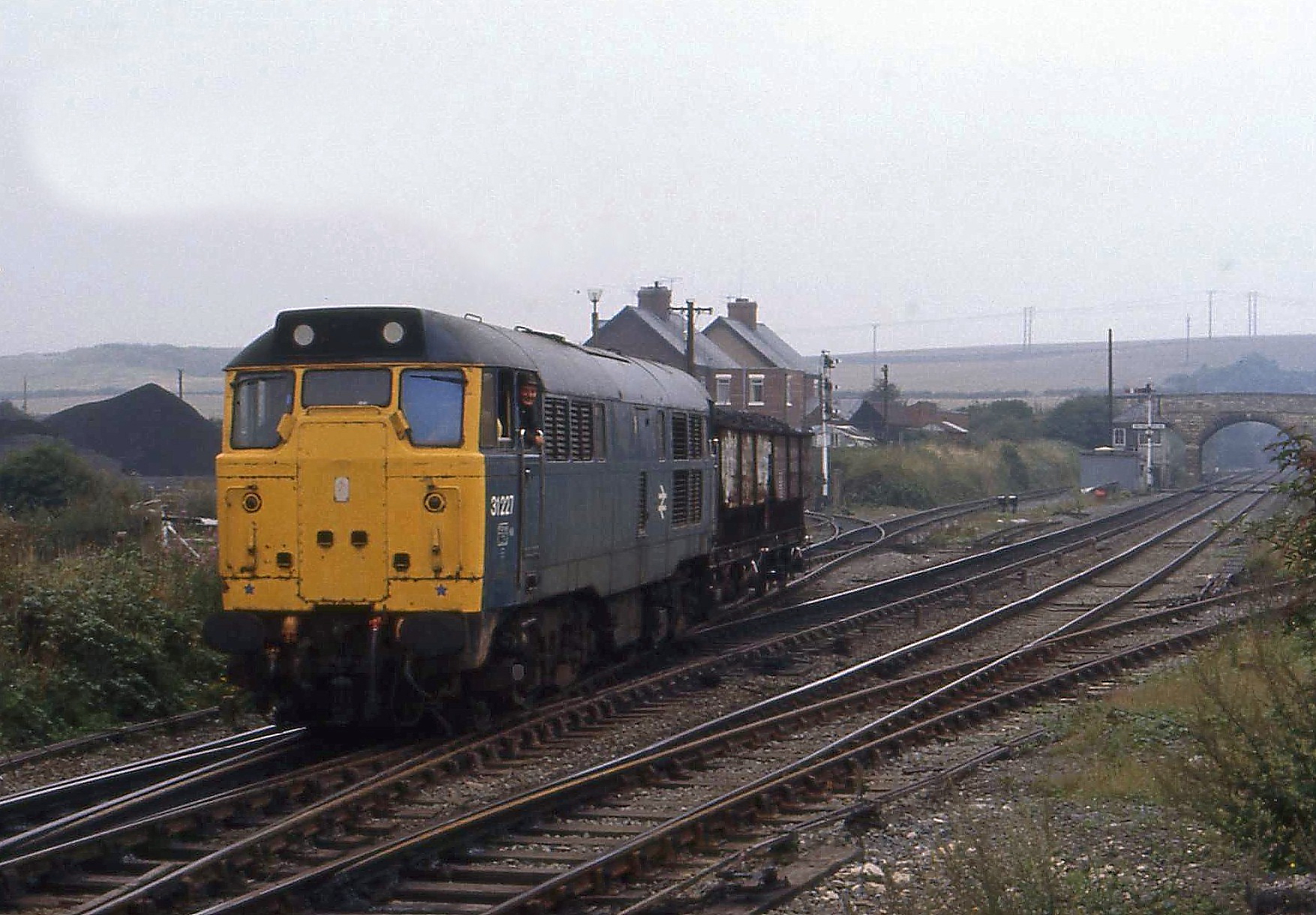
History
The Shireoaks Colliery Company obtained the lease to sink on Belph Moor in February 1890, and the sixth Duke of Portland cut the first sod on 24 May 1890. The plan was a single shaft working with Steetley's: Steetley the intake, Whitwell the return. Twenty-two men under Aaron Barnes, working in two teams for 17 months, reached the Top Hard at 311 yards on 23 October 1891, tubbing through water-bearing ground at 200 yards; the heading to Steetley was completed in 1894, and regular production began on 15 April 1894. No. 2 shaft reached the Top Hard on 15 March 1898, after which Whitwell became both intake and return and Steetley depended on it. Richard Enos Jones, the first manager, served 25 years, and one manager ran both pits until 1936. The Top Hard was worked until 1942, yielding 3,924,060 tons in 1930-42 alone; employment peaked at 1,585 in 1940. The High Hazel followed from 1935 to 1976, with a £1 million reorganisation in 1956-61 bringing skip winding, bunkers and power loading, first used in 1958. The Clowne seam was the only producer from 1976 to 1985 and the Two Foot from 1979. Output reached 549,960 tons in 1982/83, but costs of £69 a ton against a price of £42 led to the announcement on 3 June 1986; the last coal was produced on 27 June 1986, and of 750 men 389 transferred to other pits.
Geology
The concealed Yorkshire-Nottinghamshire coalfield: the Top Hard (Barnsley) at 311 yards, the High Hazel (Barber's Coal) above it, and later the Clowne and Two Foot seams. Exploration in 1924 below the Top Hard found ten seams down to the Three Quarter at 579 yards, not all workable. The shafts met water-bearing strata at 200 yards, and the High Hazel workings were bounded by the Sludgy Drift and Parkhall faults.
Geological setting: Sedimentary Beds and Seams (well documented example)
Workings
Two shafts: No. 1 to the Top Hard in 1891 and No. 2 in 1898, with an inset at the Thorncliffe seam and a false bottom installed in 1936. Early working was hand-got stall work with ponies and steam rope haulage; longwall faces and belts followed, then power loading from 1958 and skip winding, a 500-ton coal bunker and supervisory control of conveyors from the 1956-61 reorganisation. Drifts led to the Clowne seam from 1968 and to the Two Foot from 1978.
Closure
Announced on 3 June 1986 after losses of about £8 million in a year; the last coal was produced on 27 June 1986 and the last worker left in July 1987. The headgears were demolished in March and April 1987, the No. 2 concrete headstock by explosive charge, and the shafts filled and sealed.
What remains
A vacant brownfield site of about 7 hectares, owned by the Welbeck Estates Company and allocated for redevelopment in the Bolsover District Local Plan of 2020.
Unknown.
Redevelopment
Resolutions to grant planning permission have been achieved for a mixed-use scheme of housing, employment and a local nature reserve on the colliery site.
Related mines
- Shireoaks Colliery — Both sunk and owned by the Shireoaks Colliery Company.
- Steetley Colliery — Sunk by the same company to ventilate Steetley, connected to it by a heading in 1894; one manager ran both pits until 1936.
Nearby mines
- Creswell Colliery — 1.9 km S
- Steetley Colliery — 2.3 km N, Nottinghamshire
- Manton Colliery — 3.8 km E, Nottinghamshire
- Shireoaks Colliery — 5.3 km NE, Nottinghamshire
- Langwith Colliery — 5.6 km S
Straight-line distance, within 15 km. Show on the map.
People
- Aaron Barnes · contractor, 1890–1891 — In charge of the actual sinking of No. 1 shaft, 1890-91.
- Richard Enos Jones · manager, from 1890 — Whitwell's first and longest-serving manager (25 years), in charge of the sinking.
- Arnold Vardy · manager, to 1986 — The last of Whitwell's 20 managers, from Creswell.
Recorded claims
Individual factual claims, each attached to the source(s) that support it below. Where sources disagree, both are kept.
- The Shireoaks Colliery Company obtained the lease in February 1890; the sixth Duke of Portland cut the first sod on 24 May 1890; the Top Hard was reached at 311 yards on 23 October 1891. 1
- Whitwell Colliery was sunk by the Shireoaks colliery company in 1890-1891, initially to the Top Hard, and deepened in 1923. 2,3
- Whitwell was intended from the outset to be connected to Steetley by headings for ventilation; the link was made in 1894. 1,3
- The shaft is 578 yards deep (NCB, 1967). 2
- Employment: 195 (1894); 1,510 (1933); 1,585 (1940); 745 (1947, output 250,000 tons). 2
- Output 549,960 tons in 1982/83 with an average workforce of 850; 3,924,060 tons from the Top Hard in 1930-42. 1
- The last day of production was 27 June 1986, after losses of about £8 million in a year and costs of £69 a ton against a selling price of £42. 1
- The colliery closed in 1986 and the site has lain vacant since. 4
- The BGS / Mining Remediation Authority mine-plans catalogue holds plans filed under 'WHITWELL COLLIERY'. 5
Photographs & further reading
A detailed chapter of the parish history covering the sinking, each seam worked, managers, housing and closure.
View sourceSources
- (secondary) Whitwell Local History Group: Part 10, Whitwell Colliery — Whitwell Local History Group
- (secondary) Durham Mining Museum - Whitwell Colliery (UK) — Durham Mining Museum
- (secondary) Whitwell Colliery — oldminer.co.uk
- (secondary) Whitwell Colliery — P&DG (Planning and Design Group)
- (primary) BGS / Mining Remediation Authority mine plans: WHITWELL COLLIERY — British Geological Survey
Record created: 21 September 2026 · Last researched: 21 September 2026