 MineArchive
Wheal Frederick
| Also known as | Foxhole Mine, Foxhole Tin Mine, Duke of Wellington Mine |
|---|---|
| Location | Doe Tor Brook, near Lydford, Devon — 50.6500, -4.0584 (approximate) |
| Commodity | Tin |
| Type | Metal |
| Worked | 1845–by 1887 |
A small Victorian tin mine on Doe Tor Brook below Sharp Tor, worked from 1845 and abandoned by 1887, whose dressing floor, wheelpit and count house survive as a scheduled monument.
Location
Approximate location. The large pin is this mine; the small round markers are the nearest mines on record. Click one for its page. View on full map
History
Wheal Frederick lay beside Doe Tor Brook on the western edge of Dartmoor, below Sharp Tor and Hare Tor, in ground that had been streamed for tin since at least the late 16th century: shares in the Dowbroke tin works were issued in 1598. The mining sett called Wheal Frederick was first recorded in the Duchy of Cornwall's mineral grants in 1845, and a document of 1855 set out its bounds. It worked on one-year licences between 1850 and 1854, and in 1853 it formed part of the grandly named Duke of Wellington Consols; for a short time in the 1850s the mine itself may have been called the Duke of Wellington Mine.
No output figures are known, and it is thought to have produced little. Its waterwheel was still in its pit late in 1879, but work had stopped by November 1887 and the machinery had been taken away. Historic England's record names the site Foxhole Mine, though one account puts Foxhole, a stretch of streamworks and blocked adits, on the opposite bank of the brook.
Geology
Tin ground in the Dartmoor granite along Doe Tor Brook, streamed for alluvial tin long before the mine was opened.
Workings
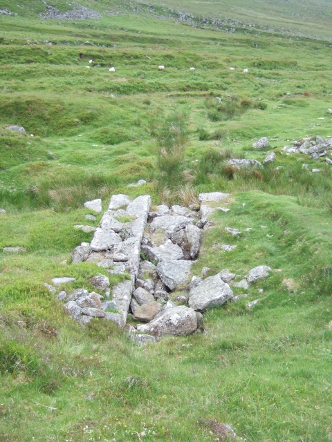
A leat on an embankment up to 1.7 m high fed an overshot waterwheel in a pit about 8 m long and 1.3 m wide, which worked stamps on a stone-faced platform beside it. The crushed ore went down a stone-lined tailrace 24 m long to a dressing floor with two circular buddles, and a tramway ran north from the mine through the older streamworks.
Closure
Work had stopped by November 1887, and the machinery was removed.
What remains
A scheduled monument since December 2003, as part of 'Foxhole Mine and other tinworks south east of Arms Tor'.
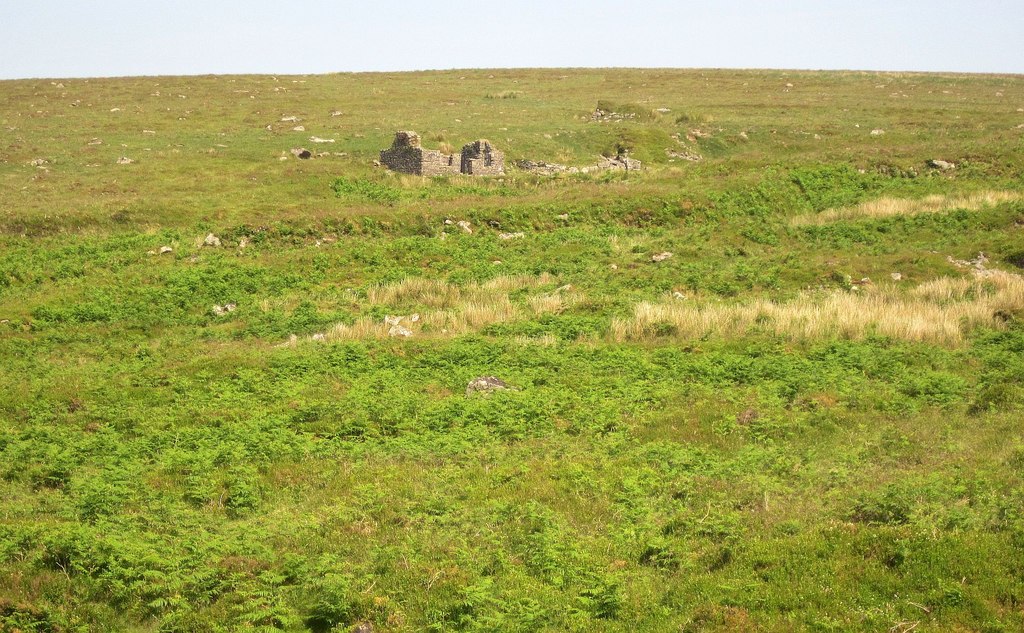
The two-roomed count house, called the Captain's House, with mortared granite walls up to 2.9 m high, a fireplace at each end and windows looking over the dressing floor; a smaller drystone building; the wheelpit and stamps platform; the tailrace; the dressing floor with its two round buddles, one keeping its holed central stone; the leat embankment, the tramway and a clapper bridge over the brook.
Nearby mines
- Devon United Mine — 4.0 miles (6.4 km) S
- Meldon Quarry — 4.3 miles (7.0 km) N
- Wheal Jewell — 4.5 miles (7.3 km) SW
- Knack Mine — 4.6 miles (7.5 km) NE
- Wheal Friendship — 4.9 miles (7.9 km) SW
Straight-line distance, within 9 miles (15 km). Show on the map.
Further reading
A walk round the mine with photographs, grid references and a history drawn from Tom Greeves's article on the sett and its licences.
View sourceThe scheduling description of 2003: the stamping mill, buildings, dressing floor, tramway and streamworks.
View sourceA description of the mine's remains and names, from Brown, Greeves and English Heritage.
View sourceSources
- (secondary) Wheal Frederick (Dartmoor Explorations) — Dartmoor Explorations
- (secondary) Foxhole Mine (Legendary Dartmoor) — Legendary Dartmoor
- (secondary) Foxhole Mine and other tinworks south east of Arms Tor (scheduled monument 1021214, via Ancient Monuments) — Ancient Monuments (Historic England data)
- (observational) Captain's House, Foxhole Tin Mine (Geograph 4268493) — Geograph
Record created: 19 November 2026 · Last researched: 19 November 2026