 MineArchive
Thieveley Lead Mine
| Location | Holme Chapel, Cliviger, Lancashire — 53.7462, -2.1938 (approximate) |
|---|---|
| Commodity | Lead |
| Type | Metal |
| Worked | 1627–1635 (probable reworking c. 1753–1766) |
| Maximum depth | No depth figure has yet been located. |
| Operators | Raffe Highley and Partners (1629–1630), Duchy of Lancaster (1630–1635), Clitheroe Mining Company (1753–1766) |
Overview
A short-lived lead mine on the hillside above Holme Chapel in Cliviger, found in 1627 and worked for the Crown between 1629 and 1635. Its first smelt mill was blown by foot-powered bellows, thought to be the only known example at a mill of that date in Lancashire or Yorkshire, and returned so little metal that it was reduced to an ore store within three years.
History
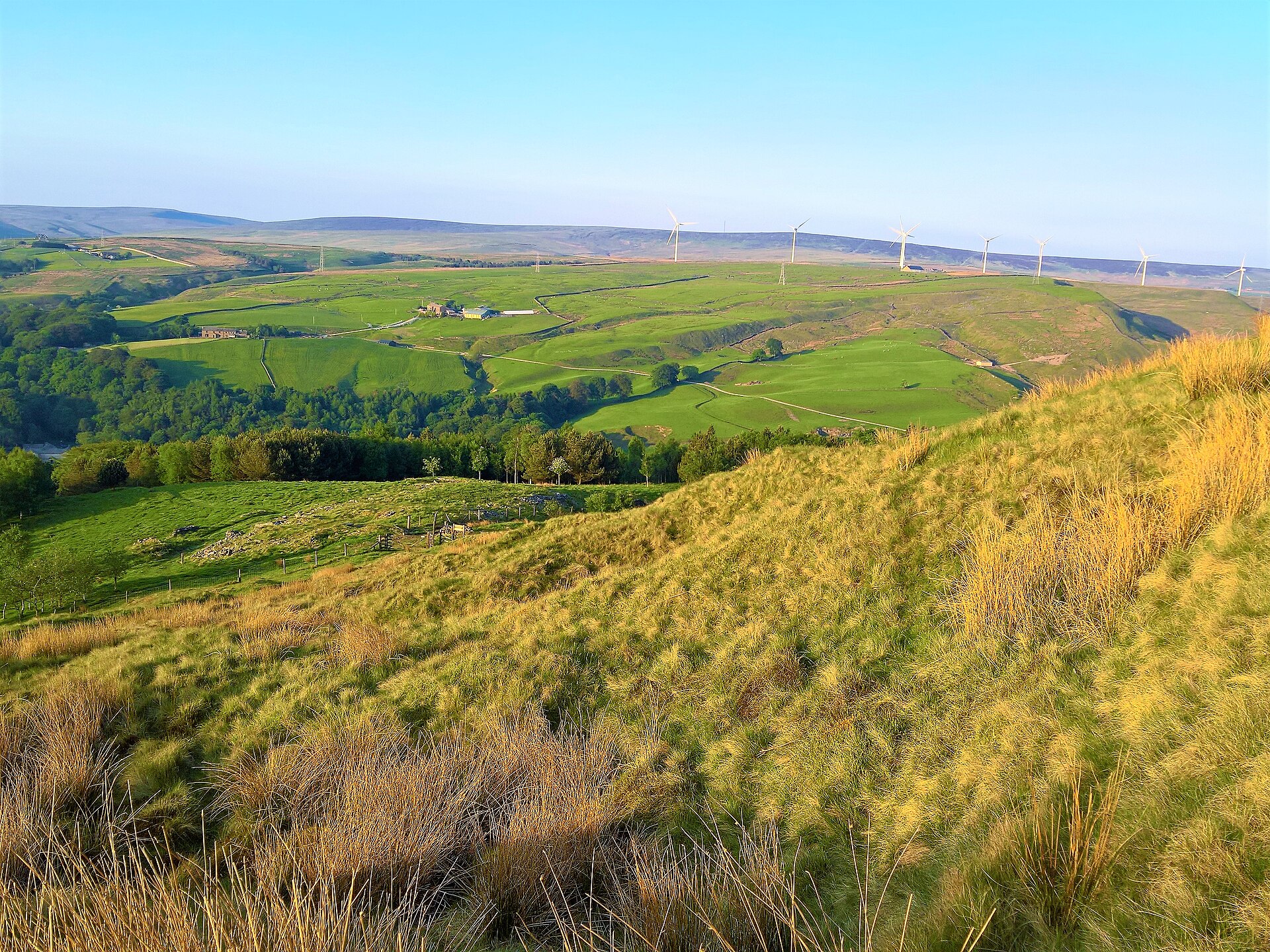
Lead was found at Thieveley in 1627, when Robert Hartley turned up ore while digging a trench to divert water into the farmyard at Thieveley Farm. By early 1629 a small smelt mill built by Raffe Highley and partners for “twelve pounds and some odd money” was at work, its hearth blown by foot bellows; the return was wretched, one recorded parcel of two tons of ore yielding only 6.5 cwt of metal, a yield of 16 per cent where at least 50 was expected. In December 1630 the Council of the Duchy of Lancaster rescinded its agreements with Highley and his partners, ordered them to quit the works and allowed them £150 for their charges, taking mine and mill into the King's use; by the autumn of 1631 the mill had become a store for ore. A larger mill built by Richard Towneley in the valley bottom was reported “now beginning to smelt” in December 1632 and closed with the mines in the spring of 1635. Documentary sources indicate that mining may have ceased after the mid-1630s, though the ground about Thieveley Farm and Black Clough was probably reworked for a short period by the Clitheroe Mining Company between 1753 and 1766. A South Pennine Archaeology Group account of Titus Thornber's research describes miners brought from Derbyshire for the King's works, living in turf houses on the hillside, and an early flooding of the mine that stopped work until a drainage adit had been driven in lower down the hill.
Geology
The ore was galena in the gritstone and shale of the Cliviger hillside. Spoil at the shaft east of Black Clough carries grit and shale debris with traces of barytes, a vein mineral that commonly accompanies lead here.
Workings
Two separate areas survive. East of Black Clough, around the site of Thieveley Farm, are four largely infilled shafts — one ringed by a grassed-over mound of spoil about 3 m across, another a hillside depression with loose stone in the bottom — with two smaller mounds thought to be spoil tips, and a dressing area in two terraces: the higher with the larger waste from breaking ore by hand, the lower with the finer waste from sieving out shale. West, towards Black Clough, a shaft mound is accompanied by a leat ending in a square pit believed to be the site of a buddle, with a spread of ore-processing debris running downhill from it. The buried remains of the first smelt mill lie at the eastern end of the dressing area.
Closure
Work for the Crown ended with the closing of the second mill in the spring of 1635, after six years in which the venture never smelted profitably. The reworking of the 1750s and 1760s left no recorded output.
What remains
The two areas of earthwork are a scheduled monument, and lie under rough pasture and young woodland. A South Pennine Archaeology Group field visit found the drainage adit collapsed, with water still running from it, and judged the site much changed — and much more overgrown — than at the time of Titus Thornber's fieldwork some forty years earlier.
Shafts, spoil mounds, dressing floors, a leat and buddle pit, and the buried remains of the first smelt mill. A packhorse ginnel used to bring ore down off the hill has been restored, and the dam and leat that served the second mill's waterwheel survive faintly in the valley bottom.
Redevelopment
About a century after the lead mill closed, its site and waterwheel were taken over for a blast furnace smelting ironstone got from nearby Riddle Scout.
Nearby mines
- Deerplay Colliery — 1.3 km S
- Hill Top Colliery — 2.7 km SE
- Towneley Colliery — 4.2 km N
- Bank Hall Colliery — 6.4 km NW
- Gannow Colliery — 7.3 km NW
Straight-line distance, within 15 km. Show on the map.
What's uncertain
Points where sources disagree or the record could not be settled; both accounts are kept. All open questions in the archive.
- The Thieveley Farm and Black Clough ground was probably reworked by the Clitheroe Mining Company for a short period between 1753 and 1766. (uncertain) 1
Recorded claims
Individual factual claims, each attached to the source(s) that support it below. Where sources disagree, both are kept.
- Robert Hartley found lead ore at Thieveley in 1627 while digging a trench to divert water into the farmyard at Thieveley Farm. 1
- The first mill, at work by early 1629, was blown by foot-powered bellows — considered the only known example of the kind at a smelt mill of that date in Lancashire and Yorkshire — and one parcel of two tons of ore gave only 6.5 cwt of lead. 1,2
- In December 1630 the Council of the Duchy of Lancaster rescinded its agreements with Raffe Highley and partners, paid them £150 and took the works into the King's use. 1,2
- The second mill, built by Richard Towneley, was reported beginning to smelt in December 1632 and closed with the mines in the spring of 1635. 2
- The Thieveley Farm and Black Clough ground was probably reworked by the Clitheroe Mining Company for a short period between 1753 and 1766. (uncertain) 1
Photographs & further reading
The Northern Mine Research Society's account of the two smelt mills, with the costs, yields and dates from the Duchy's records.
View sourceA walk over the mine site describing the shafts, dressing floors, collapsed adit and the ginnel, and what has changed since the 1980s fieldwork.
View sourceSources
- (primary) Thieveley lead mine 330m south west and 910m WSW of Buckleys, Cliviger (List entry 1021252) — Historic England
- (secondary) Thieveley Old Mill and Thieveley New Mill — Northern Mine Research Society
- (primary) Abandoned mine plan catalogue entry: THIEVELEY — British Geological Survey
Record created: 22 September 2026 · Last researched: 22 September 2026