 MineArchive
Islip Ironstone Quarry
| Location | Slipton, near Islip, Northamptonshire — 52.3625, -0.6520 (approximate) |
|---|---|
| Commodities | Iron, Limestone |
| Type | Ironstone |
| Worked | 1877–1952 |
| Maximum depth | Unknown. |
| Operators | Islip Iron Co. Ltd (1869–1932), Stewarts & Lloyds Minerals Ltd (1950–1952) |
Overview
A group of ironstone quarries and mines around Slipton, part of the wider network that fed the Islip Ironworks, worked from the 1870s to 1952 under a succession of companies culminating in Stewarts & Lloyds.
History
The Islip Iron Co. was formed in 1869 on land previously in the hands of the landowner W. B. Stopford, beginning pig iron production at Islip Ironworks in 1873. Quarrying at Slipton itself began in 1877, one of four main extraction areas -- alongside Twywell, Lowick and Sudborough -- linked to the ironworks by narrow-gauge tramway; the Slipton site alone eventually comprised three mines, a limestone quarry and several smaller ironstone quarries within the area of the village's main street. Iron ore was worked here on and off until 1919 and again from 1933, while limestone was quarried between 1900 and 1931. The company reconstructed as Islip Iron Co. Ltd in 1903, passed to Stewarts & Lloyds in 1932 and then to Stewarts & Lloyds Minerals Ltd from 1950, which closed the quarries on 29 October 1952; the ironworks itself continued until 1942.
Geology
Ironstone around Slipton, worked both by mine and by quarry, with a limestone quarry on the same ground.
Workings
Both opencast quarrying and, from 1902 at Willow Close, underground mining beneath a limestone cap too thick to strip economically; ore was carried to Islip Ironworks by 3-foot-gauge steam tramways.
Closure
The quarries and mines closed on 29 October 1952 under Stewarts & Lloyds Minerals Ltd; the Islip Ironworks itself continued to 1942 -- closing a decade before the quarries that had once fed it, by which time other sources of ore had taken over supply.
What remains
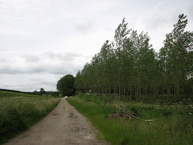
The former quarry and mine sites around Slipton are now largely returned to agricultural land and plantation; a belt of trees at one former mine site is recorded as standing on the former location of its ventilation shafts.
No structures survive; former quarry/mine ground is now farmland and plantation.
Nearby mines
- Wellingborough Ironstone Quarries — 3.0 miles (4.8 km) S
- Irthlingborough Ironstone Mine — 3.3 miles (5.2 km) S
- Newbridge Ironstone Quarry — 3.4 miles (5.5 km) NE
- Irchester Ironstone Quarries — 5.2 miles (8.3 km) S
- Wembley Ironstone Quarry — 5.4 miles (8.7 km) S
Straight-line distance, within 9 miles (15 km). Show on the map.
Recorded claims
Individual factual claims, each attached to the source(s) that support it below. Where sources disagree, both are kept.
- The Islip Iron Co. was reconstructed as Islip Iron Co. Ltd on 8 August 1903, passed to Stewarts & Lloyds in 1932, and closed under Stewarts & Lloyds Minerals Ltd on 29 October 1952. 1
- At Willow Close, part of the Slipton group, underground mining began in 1902 once earlier opencast working reached ground where a limestone cap made further stripping uneconomic; this particular mine closed in 1936. 2
- Iron ore was worked at Slipton on and off up to 1919 and again from 1933, while limestone was separately quarried here between 1900 and 1931. 1
Photographs & further reading
The Historic Environment Record entry this page draws its dates and operator chain from.
View sourceSources
- (primary) 8465 - Islip Quarries & Mines, Slipton — Northamptonshire Historic Environment Record
- (observational) Slipton: site of Willow Close Quarry — Geograph Britain and Ireland
Record created: 31 August 2026 · Last researched: 31 August 2026