 MineArchive
Grebe Swallet Mine
| Location | Charterhouse-on-Mendip, Somerset — 51.2960, -2.7130 (approximate) |
|---|---|
| Commodity | Lead |
| Type | Metal |
| Worked | from Roman |
| Maximum depth | Excavated to a depth of about 55 metres, extending underground towards the neighbouring Ubley's Rake. |
Overview
An old lead mine at Charterhouse-on-Mendip, part of a lead-working district active on and off since Roman times, rediscovered after the 1968 Mendip floods and found in 1981-82 to preserve, undisturbed in its mud floor, the 1753 name-inscriptions of two child miners, Henry Young and John Clark.
History
Grebe Swallet Mine lies within the historic Charterhouse Lead Works, a scheduled monument at Charterhouse-on-Mendip that formed part of an important lead-mining area from Roman times into the 19th century -- mining here became an industry within a few years of the Romans' arrival in Britain, with archaeological evidence dating occupation of the site from AD 49. The wider mining record shows a Roman-era peak, a Dark Ages cessation, a gradual revival to a late-16th-century peak, a 17th-century collapse and recovery, and a final short-lived Victorian burst, when up to 300 people were employed before the district's lead industry finally closed in 1885. The specific site now known as Grebe Swallet was unknown to modern researchers until the 1968 Mendip floods, when roughly 160mm of rain fell in 24 hours on 10 July, opening up three swallet holes in the valley floor. The site remained dormant until digging began there in 1981; diggers soon noted, from the abundance of galena and the many stemple holes cut into the rift walls, that the cave was in fact an old lead mine. On the 122nd day of digging, in August 1982, the team broke through at what became known as the '12 Metre Climb' into a natural rift system -- Sidcot Chamber and beyond -- containing stalactites, mined shafts, heaps of waste rock ('deads') and other mining relics, extending underground towards the neighbouring Ubley's Rake to a depth of around 55 metres. The miners had worked systematically along natural rifts, digging out unconsolidated mud, sand and gravel to recover galena, using an 18th-century agricultural weeding tool called a 'spud' to prise ore-bearing mud from narrow fissures. On muddy ledges deep in the workings, two of these miners left their mark: name-inscriptions, finger-marks and cryptic practice symbols, precisely dated by their content to Tuesday 20 November 1753. Genealogical research has since identified the pair as Henry Young, baptised in the parish of Rowberrow in 1745 and eight years old at the time, and his younger companion John Clark, roughly three years his junior -- almost certainly there in the company of their own miner fathers, John Young and Jeremiah Clark. The inscriptions probably date from the mine's final phase of working, since lower, more exposed examples would otherwise have been destroyed by further digging.
Geology
Galena recovered from unconsolidated mud, sand and gravel filling natural rifts in the Mendip limestone, the passages reaching about 55 metres deep and running towards Ubley's Rake.
Workings
Worked by hand along natural rifts and cavities partly filled with unconsolidated sediment, digging out mud, sand and gravel to recover galena, prised from narrow fissures with an 18th-century weeding tool called a 'spud'; the mined passages extend to around 55 metres depth, connecting underground towards the neighbouring Ubley's Rake.
Closure
Unknown.
What remains
Excavated and explored by cavers since 1981-82; the 1753 name-inscriptions left by two child miners survive undisturbed in the mud of the lower workings.
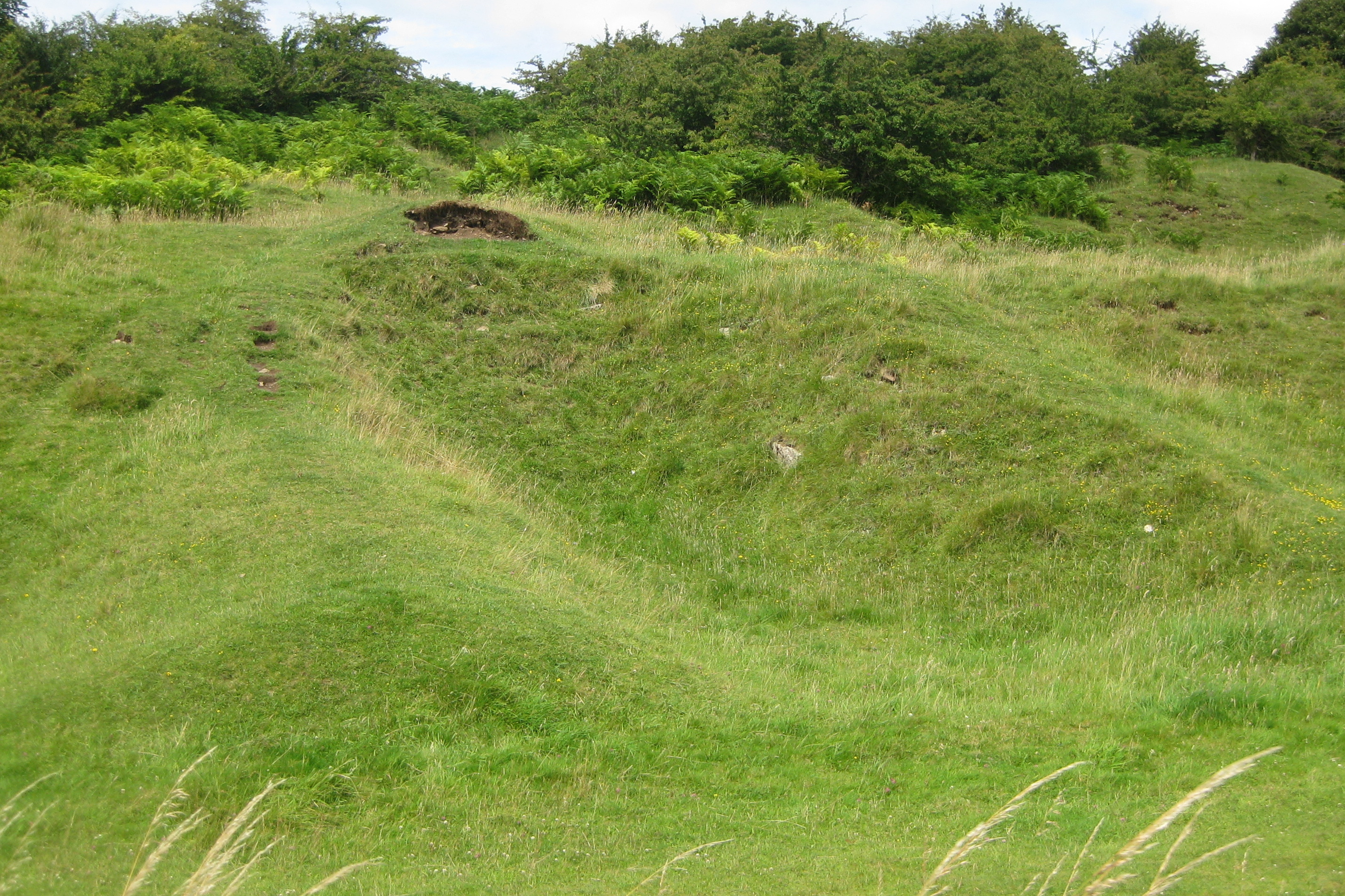
A swallet-hole entrance, opened by the 1968 Mendip floods, within the wider Charterhouse Lead Works scheduled monument.
Related mines
- Charterhouse Roman Mines — Grebe Swallet is part of the wider Charterhouse lead-mining area, worked from Roman times and ending with the rest of the district's lead industry in 1885.
Nearby mines
- Ubley Rake — 0.1 miles (0.2 km) NE
- Blackmoor Rake — 0.3 miles (0.4 km) NE
- Charterhouse Roman Mines — 0.4 miles (0.6 km) NW
- Priddy (St Cuthbert's) Lead Works — 3.9 miles (6.4 km) SE
- Chewton Mineries — 4.4 miles (7.1 km) SE
Straight-line distance, within 9 miles (15 km). Show on the map.
Recorded claims
Individual factual claims, each attached to the source(s) that support it below. Where sources disagree, both are kept.
- Charterhouse became an important lead-mining area within a few years of the Romans' arrival in Britain, with the mining record showing a Roman-era peak, a Dark Ages cessation, revival to a late-16th-century peak, a 17th-century collapse and recovery, and a final Victorian burst before the district's lead industry finally closed in 1885. 1,2
- The site was unknown to modern researchers until the 1968 Mendip floods opened up three swallet holes in the valley floor; digging began in 1981, and diggers soon identified the cave as an old lead mine from the abundance of galena and stemple holes in the rift walls. 2
- On Tuesday 20 November 1753, an eight-year-old boy named Henry Young and his younger companion John Clark left name-inscriptions, finger-marks and practice handwriting in the mud deep in the workings, almost certainly while accompanying their own miner fathers. 2
Photographs & further reading
The wider geological and mining context of the Charterhouse lead-mining area Grebe Swallet belongs to.
View sourceSources
- (primary) Charterhouse — British Geological Survey — Foundations of the Mendips
- (primary) Small Children in Grebe Swallet Mine in 1753, Charterhouse-on-Mendip, Somerset — University of Bristol Spelaeological Society (C.J. Binding)
Record created: 31 August 2026 · Last researched: 31 August 2026