 MineArchive
Gartshore Colliery
| Also known as | Twechar Colliery, Twechar No. 1 Pit, Twechar No. 2 Pit, Gartshore 9/11 |
|---|---|
| Location | Twechar, East Dunbartonshire — 55.9540, -4.1290 (approximate) |
| Commodity | Coal |
| Type | Coal |
| Worked | From c. 1860–1968 (last pit, Gartshore 9/11) |
| Maximum depth | 335 metres (Twechar No. 1 shaft) |
| Operators | William Baird & Company (1860–1947) |
Overview
A complex of numbered pits sunk by William Baird & Co. from around 1860 near Twechar, whose century-long mining history ended in 1968 when its last shaft, Gartshore 9/11, finally closed.
History
William Baird & Co. began sinking pits at Twechar and Gartshore, four miles east of Kirkintilloch, from around 1860, creating a close-knit mining community where none had existed before; a row of workers' houses was built on the south bank of the Forth and Clyde Canal, just east of Twechar Bridge. The complex grew over the following decades into a set of numbered pits worked at different periods — Gartshore 9/11 was originally sunk in 1873 for ironstone before being worked for coal from 1893, and a new shaft, Gartshore No. 12, was under construction as late as 1923. The Twechar No. 1 shaft reached 335 metres, and Gartshore No. 10 reached 326 metres.
On 28 July 1923, an explosion at No. 3 Gartshore Pit killed eight men working on the construction of a water lodgment at the bottom of a new shaft (see Disasters, below). Baird & Co. later became Bairds & Scottish Steel Ltd, continuing to operate the complex until nationalisation. Gartshore 9/11, the very last colliery working in the area, finally closed in 1968, ending just over a century of coal mining at Twechar begun by the Bairds in the 1860s; some of the area's miners went on to work at Bedlay and Cardowan collieries in Lanarkshire until those, too, closed in the early 1980s.
Geology
Coal and ironstone of the Lanarkshire field: the Gartshore 9/11 pit was sunk for ironstone in 1873 and reworked for coal from 1893.
Workings
A complex of numbered pits sunk from around 1860; Gartshore 9/11 sunk 1873 for ironstone, reworked for coal from 1893; Twechar No. 1 shaft reached 335 metres.
Closure
The last pit, Gartshore 9/11, closed in 1968, ending just over a century of mining at Twechar.
What remains
Unknown.
Related mines
- Bedlay Colliery — Both were William Baird & Co. pits, and when Gartshore 9/11 shut in 1968 as the last colliery in the area, Twechar men travelled daily to Bedlay until it too closed in the early 1980s.
- Boglea Colliery — Men from Boglea were transferred to Gartshore 9/11 when Boglea closed in 1962.
- Dumbreck Colliery — Both William Baird and Co. collieries on the Bairds of Gartshore's railway; Dumbreck Nos. 1-3 and Twechar No. 1 share an abandonment plan of the No. 3 Blackband ironstone (1925).
Nearby mines
- Auchinreoch Colliery — 0.5 miles (0.8 km) NE
- Meiklehill Colliery — 0.9 miles (1.5 km) S
- Woodilee Colliery — 1.8 miles (2.8 km) S
- Dumbreck Colliery — 2.2 miles (3.6 km) NE, North Lanarkshire
- Auchengeich Colliery — 2.8 miles (4.6 km) S, North Lanarkshire
Straight-line distance, within 9 miles (15 km). Show on the map.
Disasters & major incidents
-
Gartshore Colliery naphtha explosion, 1898
29 November 1898 · Fire · 2 fatalities
Two miners waiting to go down Gartshore No. 11 Pit were killed on 29 November 1898 when naphtha poured onto the lamp-room stove to rekindle it exploded. -
Gartshore Colliery explosion, 1923
28 July 1923 · Explosion · 8 fatalities
An explosion at No. 3 Gartshore Pit on the evening of 28 July 1923 killed eight of the twelve men constructing a water lodgment at the bottom of a new shaft; a pit bottomer thrown clear by the blast climbed back underground himself to help pull the injured to safety.
Recorded claims
Individual factual claims, each attached to the source(s) that support it below. Where sources disagree, both are kept.
- William Baird & Co. began sinking pits at Twechar and Gartshore from around 1860; Gartshore 9/11 was sunk in 1873 for ironstone before being reworked for coal from 1893. 1
- The Twechar No. 1 shaft reached 335 metres, and Gartshore No. 10 reached 326 metres. 1
- Gartshore 9/11, the last colliery working in the area, closed in 1968, ending just over a century of coal mining at Twechar. 1,2
- A mining community was established at Twechar in the 1860s with the sinking of the two main pits, Twechar and Gartshore, by William Baird & Co., twelve shafts being sunk in all; the village lay at the northern limit of the vast Lanarkshire coalfield. 3
- William Baird & Company came to the Twechar area about 1860 and developed extensive mining operations to supply coal and coke to its Gartsherrie iron-smelting works at Coatbridge; the proximity of the Forth and Clyde Canal and the abundant coal seams were both factors in the decision. 3
- The BGS catalogue of abandoned mine plans holds separate records for blackband ironstone workings at Twechar No. 1 and No. 2 pits — including "TWECHAR NO. 2 PIT IRONSTONE WORKINGS. WM. BAIRD & CO., OWNERS" and "BARHILL & TWECHAR LOWER BLACKBAND IRONSTONE" — alongside plans for the combined Gartshore 10/Twechar 1 workings. 4
- Baird’s established their headquarters at Twechar, training apprentices and housing workshops for most of the trades that supplied the whole organisation — engineers, blacksmiths, joiners, electricians, painters, slaters, chimney sweeps and transport workers — and built their own railway network spreading out from Twechar across Lanarkshire. 3
- Bevin Boys came to Twechar during the Second World War from across the whole of Scotland to learn about mining in a training pit linked to the local school. 3
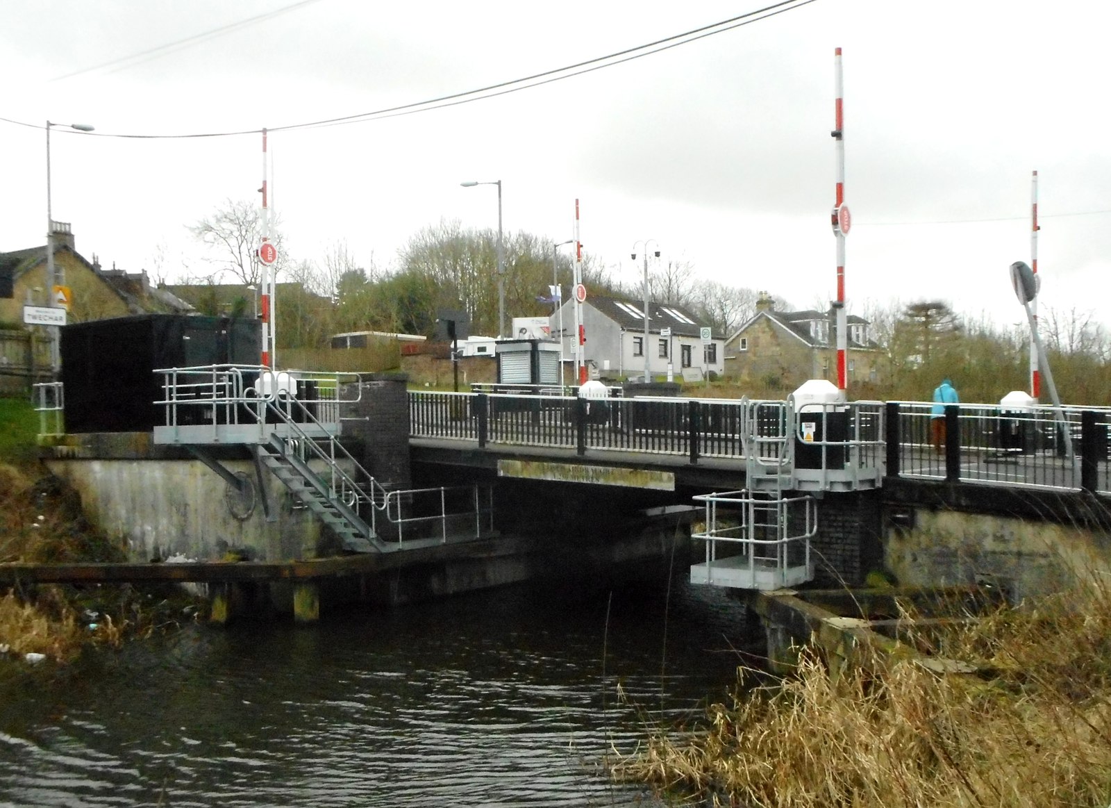
- During the 1860s the canal company permitted Baird & Co. to place a railway swing bridge over the Forth and Clyde Canal a short distance west of Twechar road bridge, connecting collieries on either side; as part of the deal the company agreed to move a proportion of its coal by canal, a requirement which lapsed early in the twentieth century. The swing bridge stayed in use until the mid-1960s, its hand-winding apparatus made redundant on 1 January 1963 when the canal closed. 5
- The original rows proved inadequate and the Barrhill Rows were built around 1880 at right angles to Main Street; in 1925, after years of pressure from the miners, Baird & Co. provided 200 modern two- and three-apartment dwellings with bathrooms and electric lighting at Burnbrae, Annieston and Sunnyhill, and the old row on the south bank of the canal was demolished. The Barrhill Rows lasted until 1957. 5
- Despite the employment it brought, Baird & Co. was much disliked in the mining communities for its treatment of workers and their families; the animosity outlasted nationalisation, and Twechar people petitioned against a proposal to name a village street after William Baird. 3
Photographs & further reading
The village’s own history of its pits: why Baird sank here, the twelve shafts, the company headquarters and its workshops, the Bevin Boys’ training pit, and how the firm was regarded by the people who worked for it.
View sourceThe mining and housing sections carry the detail of Baird’s canal swing bridge and the colliery rows, from the Barrhill Rows of about 1880 to the 200 dwellings built in 1925.
View sourceSources
- (secondary) Twechar's Pits — Twechar Pit Village heritage site
- (secondary) Towns & Villages: Twechar — East Dunbartonshire Leisure and Culture
- (secondary) Twechar: Coal Mining — Twechar Pit Village
- (primary) BGS mine plans catalogue: Twechar Nos 1 and 2, Gartshore and Barhill blackband ironstone workings — British Geological Survey
- (secondary) Twechar — Wikipedia
Record created: 27 August 2026 · Last researched: 7 September 2026