 MineArchive
Chariot Mine
| Location | Griffe Grange, Hopton, near Brassington, Derbyshire — 53.0922, -1.6260 (exact) |
|---|---|
| Commodity | Lead |
| Type | Metal |
| Worked | 18th century–by about 1880 |
| Maximum depth | Unknown. |
Overview
A disused lead mine at Griffe Grange near Brassington, named with its neighbour Golconda for the fabled Indian diamond city after unusually rich ore was struck. White's Directory of 1857 records that the Griffe Grange mines had been worked to great advantage in the previous century, Golconda and Chariot above all.
History
Chariot lies in the limestone country at Griffe Grange in the parish of Hopton, on the ground between Brassington and Carsington that was one of the richer parts of the Derbyshire orefield. It shares its extravagant name with its neighbour Golconda: both were called after the fabled Indian diamond city when unusually rich ore was struck.
The Derbyshire Historic Environment Record classes it as a lead mine of the Stuart to Victorian period, roughly 1700 to 1900, and its evidence is chiefly cartographic: 'Chariot Mine (Lead) (Disused)' is marked on the first edition twenty-five inch Ordnance Survey of about 1880, with 'Old Shafts' marked around it, in the middle of a wood that carries the mine's name — Chariot Wood. It was already disused by the time that map was made.
The written record is thinner but pointed. White's Directory of 1857 says of Griffe Grange that 'the lead mines were during the last century worked to great advantage, particularly the Golconda and Chariot mines' — putting Chariot's best years in the eighteenth century, well before the survey that recorded its abandonment. Golconda beside it went on far longer, turning from lead to barytes and working until 1953.
Geology
The mine worked lead veins in the Carboniferous limestone of the southern Derbyshire orefield, on the ground around Brassington, Carsington and Hopton where the ore bodies carry barytes and calcite alongside the galena. It is the same field as neighbouring Golconda, whose later working turned from lead to barytes as the market changed.
Geological setting: Veins and Lodes (well documented example)
Workings
Nothing of the layout is recorded. The first edition Ordnance Survey marks 'Old Shafts' around the mine, so the working was by shafts from the surface rather than by level or adit, which is what the shallow limestone ground here would suggest.
Closure
Already disused when the first edition twenty-five inch Ordnance Survey was made about 1880. The closure date is not known; White's Directory of 1857 puts the mine's productive years in the eighteenth century.
What remains
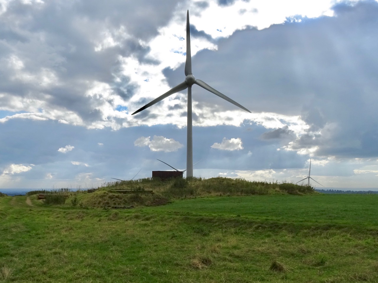
Chariot Wood, mainly conifer plantation, has grown over the old shafts; a track called the Chariot Way runs past the site.
None identified beyond the shafts on the map.
Redevelopment
Unknown.
Related mines
- Golconda Mine — Adjacent mines on the same ground at Griffe Grange, named together for the Indian city of diamonds after rich ore was struck, and named together again in White's Directory of 1857 as the two that had been worked to greatest advantage there.
Nearby mines
- Golconda Mine — 0.1 miles (0.2 km) W
- Snake Mine — 0.7 miles (1.1 km) NE
- Carsington Pasture Lead Mines — 0.8 miles (1.3 km) SW
- Bondog Hole Mine — 1.1 miles (1.7 km) NE
- Good Luck Mine — 1.4 miles (2.3 km) NE
Straight-line distance, within 9 miles (15 km). Show on the map.
Recorded claims
Individual factual claims, each attached to the source(s) that support it below. Where sources disagree, both are kept.
- 'Chariot Mine (Lead) (Disused)' is marked on the first edition twenty-five inch Ordnance Survey of about 1880, surrounded by mainly coniferous woodland named Chariot Wood, with 'Old Shafts' also marked. 1
- White's Directory of 1857 records that at Griffe Grange 'the lead mines were during the last century worked to great advantage, particularly the Golconda and Chariot mines'. 1
- The Derbyshire Historic Environment Record classes the site as a lead mine of the Stuart to Victorian period, 1700 to 1900, with no protected status or designation recorded. 1
- Golconda, the mine named alongside Chariot in the 1857 directory and lying on the same ground at Griffe Grange, has its own county record and went on far longer, turning from lead to barytes and working until 1953. 2,1
- The site of the Chariot Mine is marked today by the Chariot Way, a track through the woodland that has grown over the old shafts. 3
Photographs & further reading
The county record for the mine — its grid reference and extent, what the first edition Ordnance Survey shows, and the 1857 directory notice of its eighteenth-century richness.
View sourceSources
- (primary) Chariot Mine (MDR12619) — Derbyshire Historic Environment Record
- (primary) Golconda Mine (MDR9593) — Derbyshire Historic Environment Record
- (observational) The Chariot Mine and the Chariot Way (Geograph, Ian Calderwood) — Geograph Britain and Ireland
Record created: 8 September 2026 · Last researched: 24 September 2026