 MineArchive
Butterworth Hall Colliery
| Location | Butterworth Hall, Milnrow, Rochdale, Greater Manchester — 53.6078, -2.1033 (approximate) |
|---|---|
| Commodity | Coal |
| Type | Coal |
| Worked | 1861 to 1864 (sinking)–1928 |
| Maximum depth | 119 m (390 ft) |
| Operators | Richard and William Stott (1861–1879), Platt Brothers and Co. Ltd (1881–1928) |
Overview
Milnrow's colliery, sunk between 1861 and 1864 by Richard and William Stott to the Lower Mountain Mine at 119 metres, joined by tramway to Tunshill, and worked by Platt Brothers of Oldham from the early 1880s until April 1928.
History
Butterworth Hall Colliery, at Milnrow, was sunk between 1861 and 1864 by Richard and William Stott, who sank Tunshill Colliery in the same years. It worked the Lower Mountain Mine at a depth of 119 metres, and for part of its life a tramway about 1.5 km long joined it to Tunshill. An abandonment plan of workings probably in the Mountain seam is dated 1870. The Stotts worked the colliery until the late 1870s, when it appears to have closed.
Platt Brothers and Company, who also reopened Tunshill, reopened Butterworth Hall between 1881 and 1884 and worked it until it closed in April 1928. Between 1895 and 1925 they employed an average of 173 men underground and 62 on the surface. The Ordnance Survey map of 1907 shows the colliery and its tramway, with coke ovens, in Milnrow, and a plan of Lower Mountain workings is dated 1914. Charles Lane, very near the colliery, was once described as a mining village.
Geology
The Lower Mountain Mine of the Rochdale-Oldham coalfield.
Workings
A shaft to the Lower Mountain Mine at 119 metres; a tramway about 1.5 km long to Tunshill Colliery; coke ovens shown on the 1907 map.
Closure
Closed in the late 1870s, reopened by Platt Brothers in 1881-84, and closed in April 1928.
What remains
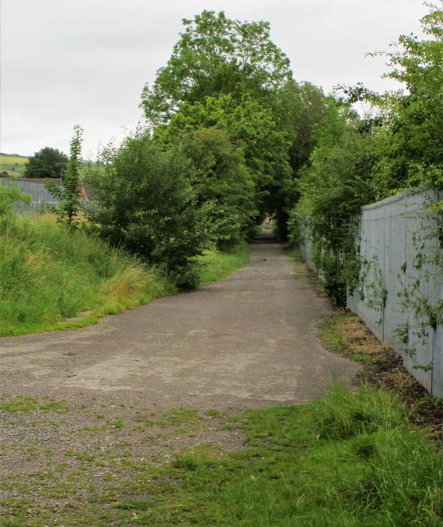
The line of the old tramway from Tunshill can be traced near the Butterworth Hall end in Milnrow.
Redevelopment
Unknown.
Related mines
- Tunshill Colliery — Joined by a tramway about 1.5 km long; both sunk by the Stotts and reopened by Platt Brothers.
Nearby mines
- Tunshill Colliery — 0.9 miles (1.4 km) NE
- Jubilee Colliery — 1.1 miles (1.8 km) SE
- Stockfield Colliery — 4.9 miles (7.9 km) S
- Chamber Colliery — 5.1 miles (8.2 km) S
- Oak Colliery, Hollinwood — 5.9 miles (9.5 km) S
Straight-line distance, within 9 miles (15 km). Show on the map.
Recorded claims
Individual factual claims, each attached to the source(s) that support it below. Where sources disagree, both are kept.
- Sunk between 1861 and 1864 by Richard and William Stott to the Lower Mountain Mine at 119 metres. 1
- Reopened by Platt Brothers and Company between 1881 and 1884 and worked until closure in April 1928, employing on average 173 men underground and 62 on the surface between 1895 and 1925. 1
- A tramway joined the colliery to Tunshill; the 1907 Ordnance Survey map shows the colliery, tramway and coke ovens in Milnrow. 1,2,3
- Abandonment plans are dated 1870 (probably the Mountain seam) and 1914 (Lower Mountain). 4,5
- Butterworth Hall Colliery stood very near Charles Lane, Milnrow. 6
Sources
- (secondary) Butterworth Hall Colliery (1865-1925) — Northern Mine Research Society
- (secondary) Milnrow & Newhey 1907 (Old Ordnance Survey Maps, Lancashire Sheet 89.06) — Alan Godfrey Maps
- (observational) Old Tramway Route (Geograph 7255011) — Geograph
- (primary) BGS mine plan: Butterworth Hall, Lower Mountain (abandoned 1914) — British Geological Survey / Mining Remediation Authority
- (primary) BGS mine plan: Butterworth Hall, probably Mountain (abandoned 1870) — British Geological Survey / Mining Remediation Authority
- (observational) Nos. 50 to 36, Charles Lane, Milnrow (Geograph 1495264) — Geograph
Record created: 17 October 2026 · Last researched: 17 October 2026