 MineArchive
Dirty Red Soil Mine
| Location | within the Sheldon scheduled enclosure, 700m south of Sheldon, Derbyshire — 53.1972, -1.6818 (approximate) |
|---|---|
| Commodity | Lead |
| Type | Metal |
| Worked | Later 18th century–19th century |
| Maximum depth | Unknown. |
Overview
The fourth of the five lead mines -- alongside Magpie, Great Red Soil, Maypit and Horsesteps -- sharing a single scheduled walled enclosure near Sheldon, becoming active in the second half of the 18th century.
History
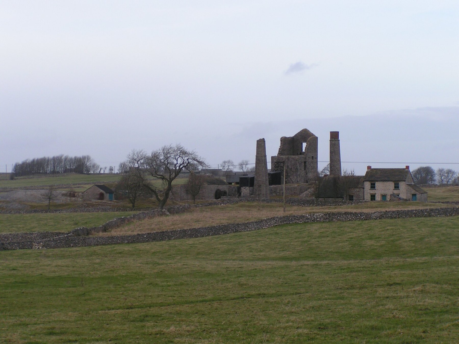
Dirty Red Soil Mine lies within the same walled enclosure as Magpie, Great Red Soil, Maypit and Horsesteps mines and a limekiln, some 700 metres south of Sheldon, on a limestone plateau at around 310 metres above sea level, all protected together as a single Scheduled Monument. It became active during the second half of the 18th century, alongside the wider Sheldon lead-mining district's own growth through that period. The enclosure's mines shared a well-documented pattern of underground boundary disputes through the early 19th century -- most infamously the 1833 incident between Magpie and Maypit over the separate Great Redsoil vein (see the Maypit Mine record and its linked disaster) -- though nothing on record specifically implicates Dirty Red Soil itself in that particular dispute, as distinct from sharing the enclosure's general history of contested underground boundaries.
Geology
Lead of the Derbyshire orefield, within the same walled enclosure as Magpie, Great Red Soil, Maypit and Horsesteps mines; the name is miners' shorthand for the poorer, more contaminated ore this working produced.
Workings
The mine lies within a walled enclosure shared with four neighbouring workings; its own workings are not separately recorded.
Closure
The closure date is not known.
What remains
Surface remains lie within the same protected walled enclosure as Magpie, Great Red Soil, Maypit and Horsesteps, managed together as a Scheduled Monument.
Surface remains lie within the walled enclosure shared with its neighbours.
Related mines
- Horsesteps Mine — Shares the scheduled walled enclosure south of Sheldon.
- Maypit Mine — The 1833 disaster between Magpie and Maypit arose over the same Great Redsoil vein worked here.
Nearby mines
- Great Red Soil Mine — 0.0 miles (0.0 km) NE
- Horsesteps Mine — 0.0 miles (0.1 km) SW
- Maypit Mine — 0.1 miles (0.1 km) N
- Alport Mines — 0.8 miles (1.3 km) S
- Mandale Mine — 1.1 miles (1.8 km) W
Straight-line distance, within 9 miles (15 km). Show on the map.
Recorded claims
Individual factual claims, each attached to the source(s) that support it below. Where sources disagree, both are kept.
- Dirty Red Soil is one of five lead mines -- Magpie, Great Red Soil, Maypit, Horsesteps and Dirty Red Soil itself -- enclosed within a single Scheduled Monument near Sheldon, becoming active in the second half of the 18th century. 1,2
- Dirty Red Soil lies with Magpie, Great Red Soil, Maypit and Horsesteps mines and a limekiln in one walled enclosure about 700 metres south of Sheldon, on the limestone plateau at around 310 metres, the whole scheduled as a single monument. 2
- The mine became active in the second half of the eighteenth century, as the Sheldon lead-mining district grew. 2
Photographs & further reading
The official Scheduled Monument listing covering Dirty Red Soil alongside Magpie, Great Red Soil, Maypit and Horsesteps.
View sourceSources
- (secondary) Magpie Mine History — Peak District Mines Historical Society
- (primary) Magpie, Dirty Red Soil, Maypit, Horsesteps and Great Red Soil lead mines and a limekiln (List Entry 1019490) — Historic England
Record created: 31 August 2026 · Last researched: 24 September 2026