 MineArchive
Castlehill Mine
| Location | Near Culross, west Fife — 56.0920, -3.6439 (approximate) |
|---|---|
| Commodity | Coal |
| Type | Coal |
| Worked | 1965–1990 |
| Maximum depth | Two surface drifts about 1,600 metres long at an incline of 1 in 4. |
| Operators | National Coal Board (1965–1990) |
Overview
A drift mine near Culross that was one of the working ends of the Longannet complex, sending its Upper Hirst coal underground to Longannet power station; sunk from 1965, producing from 1969 and closed in 1990, it served to the end as the complex's main ventilation unit and second way out.
History
Castlehill Mine was begun in 1965 near Culross in west Fife as part of the National Coal Board's Longannet complex, a group of drift mines — Bogside, Castlebridge, Castlehill and Solsgirth — linked underground to Longannet Mine and working the Upper Hirst seam for the 2,400 MW Longannet power station beside the Forth. Its two surface drifts, each 4.88 by 3.66 metres and about 1,600 metres long at 1 in 4, made it the complex's main ventilation unit and second egress. Production began in 1969; the workforce averaged 749 and peaked at 770 in 1972. From September 1986 Castlehill was run as a single unit with Castlebridge, and by the early 1990s the Castlehill and Solsgirth reserves were exhausted: Castlehill closed in 1990, and by 1998 its drifts were used for ventilation and access only. The complex it served, described as a blueprint for modern mining, closed in 2002 after an underground dam failed and the workings flooded; the Castlehill site was afterwards cleared and sold.
Geology
The Upper Hirst coal of the Limestone Coal Group, the seam worked throughout the Longannet complex.
Workings
Two inclined surface drifts, each 4.88 m by 3.66 m and about 1,600 m long at 1 in 4, connected underground to Longannet Mine and the rest of the complex; the main ventilation unit and second egress, with all production sent to Longannet power station.
Closure
Reserves exhausted; closed in 1990 after running jointly with Castlebridge from 1986, but kept for ventilation and access until at least 1998. The whole Longannet complex closed after flooding in 2002.
What remains
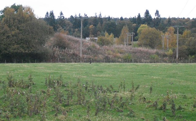
The site was cleared and sold after the complex closed; the drift entrance area was rough, overgrown ground in 2009.
Unknown.
Redevelopment
Unknown.
Related mines
- Castlebridge Colliery — Operated as a single unit with Castlebridge from September 1986.
- Longannet Colliery — Castlehill was linked underground to Longannet Mine as part of the Longannet complex.
Nearby mines
- Blairhall Colliery — 3.1 km SE
- The Moat Pit — 4.2 km S
- Castlebridge Colliery — 4.6 km NW, Clackmannanshire
- Comrie Colliery — 4.8 km E
- Valleyfield Colliery — 4.8 km SE
Straight-line distance, within 15 km. Show on the map.
Recorded claims
Individual factual claims, each attached to the source(s) that support it below. Where sources disagree, both are kept.
- Castlehill Mine, near Culross: owner NCB; Upper Hirst coal; sinking commenced 1965, production 1969, closed 1990; average workforce 749, peak 770 in 1972. 1
- Part of the Longannet complex, for which it was the main ventilation unit and second egress; two surface mines each 4.88 m by 3.66 m, about 1,600 m long at 1 in 4; operated as a single unit with Castlebridge from September 1986; ventilation and access only by 1998. 1
- By the early 1990s the Castlehill and Solsgirth coal reserves were exhausted; the Castlehill site was later cleared and sold. 2,3
- Clackmannanshire's list of Longannet complex mines gives Castlehill as 1965 to 1990. 3
- The BGS/Mining Remediation Authority mine-plans catalogue holds plans under the name Castlehill. 4
Photographs & further reading
Historic Environment Scotland record with the drift dimensions, workforce and dates.
View sourceSources
- (primary) Castlehill Mine — Canmore — Historic Environment Scotland (Canmore)
- (secondary) Longannet coal mine — Wikipedia
- (secondary) Clackmannanshire's Mines — Clackmannanshire.scot
- (primary) BGS mine plans: Castlehill — British Geological Survey / Mining Remediation Authority
Record created: 21 September 2026 · Last researched: 21 September 2026