 MineArchive
Blackpatch Flint Mines
| Location | Blackpatch Hill, west of Findon, near Worthing, West Sussex — 50.8683, -0.4467 (approximate) |
|---|---|
| Commodity | Flint |
| Type | Mineral |
| Worked | Late Neolithic (antler pick c. 3000 BC)–No reliable closure date has yet been located. |
| Maximum depth | About 3 metres (the flint seam at about 3.4 m). |
Overview
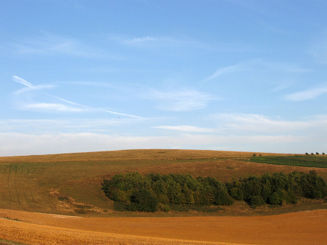
A Neolithic flint mine of at least 64 shafts on the south-west slope of Blackpatch Hill near Findon, dug to a single seam of flint about three metres down, with a Bronze Age barrow cemetery built over its filled-in shafts; the earthworks were bulldozed flat around 1950.
History
The miners of Blackpatch sank shallow shafts into the chalk of the hill's south-western slope to reach a single seam of nodular flint, and drove galleries out from them along the seam for up to 8.5 metres. As each new gallery was cut, its chalk was packed into galleries already worked out. Around the shafts lay working floors where the flint was knapped. An antler pick from one shaft has been radiocarbon dated to about 3000 BC, and the shaft fills held struck flakes and pottery of the Late Neolithic and Early Bronze Age, carved chalk objects, animal bones and cremation burials. James Dyer judged that the mines were worked on and off for perhaps 500 years, a new shaft every five years being enough for a small community whose settlement lay close by. Burial followed mining: at least 12 round barrows were raised on the hill, three of them over infilled shafts, and two held later pagan Anglo-Saxon burials. The amateur archaeologist John Pull excavated the shafts and working areas between 1922 and about 1932. The site was scheduled in 1933, but around 1950 bulldozing levelled both the mine and the barrows, and the shafts now show only as cropmarks from the air.
Geology
Upper Chalk of the South Downs, worked for a single seam of nodular flint.
Workings
At least 64 infilled shafts up to about 6 metres across and 1 to 3 metres deep, with galleries up to about 8.5 metres long following the flint seam, and flint-working areas between and around the shafts.
Closure
Worked intermittently into the Bronze Age, after which barrows were built over some of the shafts.
What remains
Levelled by bulldozing around 1950; the shafts survive below ground and are visible as cropmarks on aerial photographs.
None standing; the shafts and barrows were levelled around 1950.
Redevelopment
Farmland.
Related mines
- Cissbury Flint Mines — Neighbouring Neolithic flint mines on the Sussex Downs above Worthing, both excavated by John Pull.
Nearby mines
- Cissbury Flint Mines — 4.6 km E
- Amberley Chalk Pits — 7.1 km NW
Straight-line distance, within 15 km. Show on the map.
What's uncertain
Points where sources disagree or the record could not be settled; both accounts are kept. All open questions in the archive.
- The scheduling text gives eight shafts investigated in 1922-1930; Wikipedia and Dyer give seven excavated. (disputed) 1,2,3
- Dyer suggests the mines were worked intermittently for perhaps 500 years, from the Neolithic to the Middle Bronze Age, with a new shaft every five years. (uncertain) 3
Recorded claims
Individual factual claims, each attached to the source(s) that support it below. Where sources disagree, both are kept.
- The flint mine, levelled by bulldozing around 1950, survives as at least 64 infilled shafts up to c.6m in diameter visible as cropmarks; partly excavated 1922-1930, eight shafts investigated, 1m-3m deep with galleries up to c.8.5m long following a single seam. 1
- The shafts were investigated from 1922 to 1932 by John Pull; seven shafts were excavated, up to 3 metres deep with galleries up to 8.5 metres. 2
- The scheduling text gives eight shafts investigated in 1922-1930; Wikipedia and Dyer give seven excavated. (disputed) 1,2,3
- An antler pick from a shaft has been radiocarbon dated to c.3000 BC; Late Neolithic and Early Bronze Age flakes and pottery came from the shaft fills. 1,2
- At least 12 round barrows formed a cemetery; three were built over infilled flint mine shafts and two contained pagan Anglo-Saxon burials. 1
- Dyer suggests the mines were worked intermittently for perhaps 500 years, from the Neolithic to the Middle Bronze Age, with a new shaft every five years. (uncertain) 3
Photographs & further reading
The scheduling entry describing the flint mine shafts, the dating evidence and the barrow cemetery.
View sourceLibrary record for the Worthing Archaeological Society's report on the first season of excavation.
View sourceSources
- (primary) Prehistoric flint mine and part of a round barrow cemetery at Blackpatch (NHLE 1015880), scheduling text as reproduced by AncientMonuments.uk — Historic England, via AncientMonuments.uk
- (secondary) Blackpatch — Wikipedia
- (secondary) Blackpatch Flint Mines (quoting James Dyer, Southern England: an archaeological guide) — The Modern Antiquarian
Record created: 21 September 2026 · Last researched: 21 September 2026