 MineArchive
Roman Camp No. 3 Mine
| Location | Roman Camp, near Broxburn, West Lothian — 55.9177, -3.4856 (approximate) |
|---|---|
| Commodity | Oil Shale |
| Type | Mineral |
| Worked | By 1906–1938 |
| Maximum depth | Unknown. |
| Operators | Broxburn Oil Company Ltd |
Overview
A steeply inclined Broxburn Oil Company shale mine beside the Roman Camp oil works, driven through dolerite sills to the Jubilee shale and worked from before 1906 until 1938.
History
Roman Camp No. 3 Mine was one of a string of steeply inclined mines following the outcrop of the Pumpherston Shales along the western arm of the Pumpherston anticline, near Broxburn. It worked mainly the Jubilee shale lying north of the Edinburgh-Bathgate railway, for the Broxburn Oil Company's Roman Camp Oil Works. By 1906 it had been driven from the south side of the railway towards Powflats, through the east and west dolerite sills, about 100 feet broad, where the shale on both sides of the intrusion had been burnt and driving was laborious. Its shale went into a hopper over the mineral railway, from which hutches were drawn up an incline to the top of the retorts.
No. 3 employed 127 in 1915 and 124 in 1920, and in 1925 a crush that could not be checked forced the company to cut off the Curly Brae section. It still employed 103 in 1933 but only 58 in 1937. Its workings in the Wee, Jubilee, Curly, Plain and Maybrick seams were abandoned in 1938. The ground has since been regraded and little of the complex survives other than the railway bridge.
Geology
The Pumpherston Shales (Wee, Jubilee, Curly, Plain and Maybrick) on the western arm of the Pumpherston anticline, cut by east and west dolerite sills about 100 feet broad that burnt the shale beside them.
Workings
A steeply inclined adit driven through the dolerite sills towards Powflats; shale tipped into a hopper over the mineral railway and drawn up an incline to the retorts.
Closure
Workings abandoned in 1938.
What remains
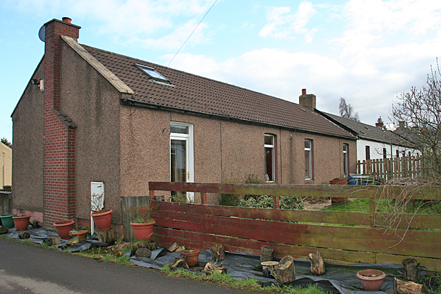
The site has been regraded and is waste land.
A railway bridge of the oil works complex.
Nearby mines
- Holmes Mine — 0.1 miles (0.2 km) W
- Roman Camp No. 6 Mine — 0.3 miles (0.5 km) E
- Pumpherston No. 4 Mine — 0.4 miles (0.7 km) SW
- Roman Camp No. 5 Mine — 0.4 miles (0.7 km) SW
- Pumpherston No. 1 Mine — 0.5 miles (0.8 km) S
Straight-line distance, within 9 miles (15 km). Show on the map.
Recorded claims
Individual factual claims, each attached to the source(s) that support it below. Where sources disagree, both are kept.
- By 1906 No. 3 had been driven through the east and west dolerite sills, about 100 feet broad, towards Powflats. 1
- No. 3 employed 127 in 1915 and 58 in 1937. 2
- In 1925 the Curly Brae section was cut off because of a crush that could not be checked. 1
- Its workings were abandoned in 1938. 1
- The abandonment plans of Roman Camp No. 3 are dated 1938. 3
Photographs & further reading
The Museum of the Scottish Shale Oil Industry's page for this mine, with maps, plans, site photographs and newspaper extracts.
View sourceSources
- (secondary) Roman Camp No.3 mine (Scottish Shale, Museum of the Scottish Shale Oil Industry) — Almond Valley Heritage Trust
- (primary) Roman Camp (Oil Shale) (Durham Mining Museum) — Durham Mining Museum
- (primary) BGS mine plan: ROMAN CAMP NO.3, Wee, Jubilee, Curly, Plain and Maybrick, abandoned 1938 — British Geological Survey / Mining Remediation Authority
Record created: 25 October 2026 · Last researched: 25 October 2026