 MineArchive
Mauchline Colliery
| Also known as | Mauchline 1, 2 and 4, Dykefield Colliery |
|---|---|
| Location | Dykefield, 1¼ miles (2 km) north of Mauchline, East Ayrshire — 55.5351, -4.3846 (exact) |
| Commodity | Coal |
| Type | Coal |
| Worked | 1925–August 1966 |
| Maximum depth | 274 m (two shafts) |
| Operators | Caprington & Auchlochan Collieries Ltd (1925–1935, founder) — Sank the colliery in 1925 (Canmore archaeology notes; DMM m216) Bairds & Dalmellington Ltd (1935–1947, owner) — Owner from 1935 (Canmore archaeology notes; DMM m216) National Coal Board (1947–1966) — To closure in August 1966 (DMM m216; NMRS NCB collieries list) |
A house-coal colliery sunk in 1925 at Dykefield, a mile and a quarter north of Mauchline in Ayrshire, with two shafts 274 m deep. It employed up to 876 men under the Coal Board and closed in August 1966.
Location
Recorded location. The large pin is this mine; the small round markers are the nearest mines on record. Click one for its page. View on full map
History
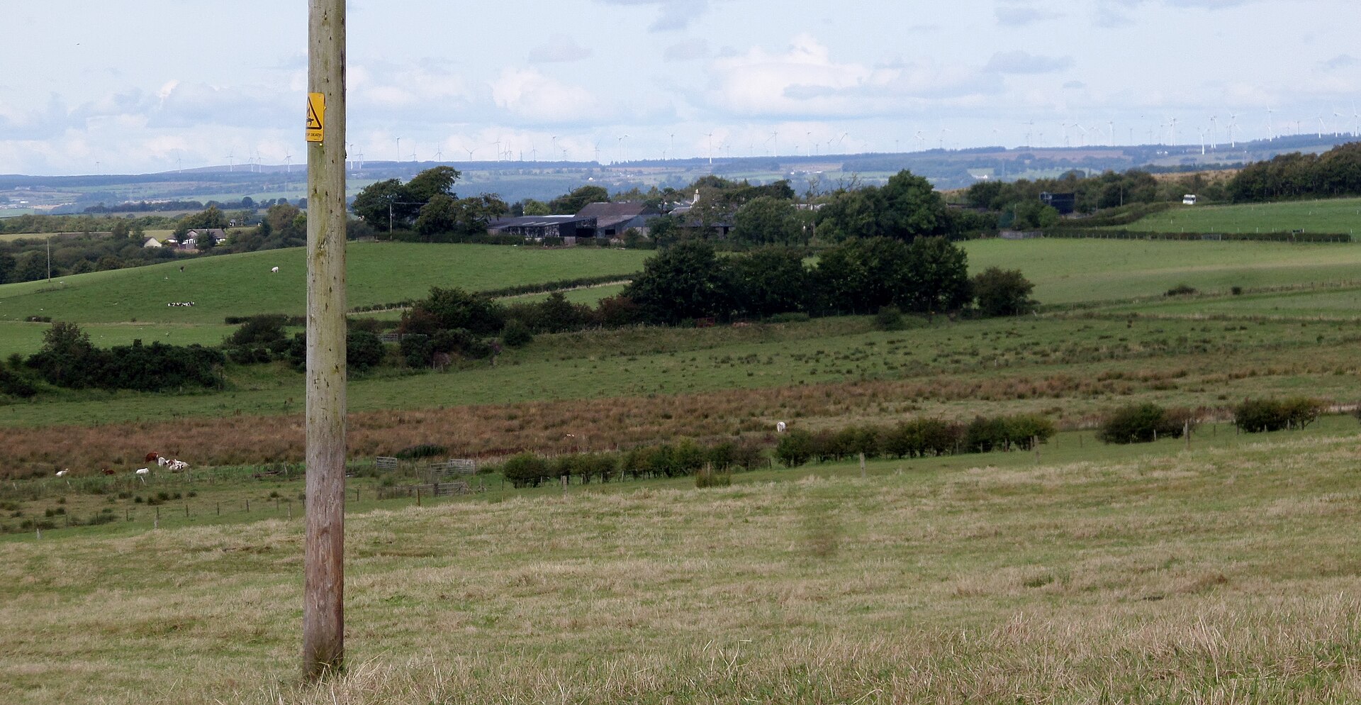
Mauchline Colliery was sunk in 1925 at Dykefield, a mile and a quarter north of the village of Mauchline, by Caprington and Auchlochan Collieries Ltd, to produce house coal. It had two shafts, both 274 metres deep, and in 1933 it employed 340 men. Bairds and Dalmellington Ltd took it over in 1935, and with Nos. 2 and 4 pits at work it grew to 510 men in 1937 and 642 in 1940. Pithead baths for 756 men were opened in 1939.
The National Coal Board took over in 1947, when the colliery employed 810 and raised 310,000 tons of gas, household and industrial coal. A report of 1948 describes an output of about 1,000 tons a day, worked by longwall and by stoop and room, with five screens for dry coal, a Baum-type washer and a packed-meal canteen, and steam and electricity generated on site rather than taken from the public supply. In 1954 Nos. 1 and 2 worked the Hurlford Main and Tourha seams with 851 men, and the workforce peaked at 876 in 1958. Mauchline closed in August 1966, and the last plans of its McNaught, Tourha and Hurlford Main workings were abandoned that year; the colliery was formally abandoned in 1969.
Geology
Coal Measures of the Ayrshire coalfield: the Hurlford Main, Tourha and McNaught seams.
Workings
Two shafts, both 274 m deep, with Nos. 1, 2 and 4 pits named at different dates; longwall and stoop and room working; steam winding, screens and a Baum-type washer at the surface, and its own railway branch.
Closure
Closed by the National Coal Board in August 1966; formally abandoned in 1969.
What remains
The embankment of the old colliery railway line survives near the site of Mossgiel Tunnel Platform.
Nearby mines
- Sorn Mine — 2.4 miles (3.8 km) SE
- Lochlea Colliery — 2.9 miles (4.6 km) W, South Ayrshire
- Gauchalland Colliery — 4.2 miles (6.7 km) N
- Holmes Colliery, Galston — 4.4 miles (7.1 km) N
- Goatfoot Colliery — 4.5 miles (7.3 km) N
Straight-line distance, within 9 miles (15 km). Show on the map.
Further reading
The national record of the colliery, with 38 photographs of the pithead, steam winding engine, washery and railway taken around 1966.
View sourceSources
- (primary) Mauchline Colliery (Durham Mining Museum) — Durham Mining Museum
- (primary) Mauchline Colliery: archaeology notes (Canmore / trove.scot activity 850441) — Historic Environment Scotland
- (secondary) Mauchline (Gazetteer for Scotland) — Gazetteer for Scotland
- (secondary) NCB Collieries - Scotland (Northern Mine Research Society) — Northern Mine Research Society
- (primary) BGS mine plan: MAUCHLINE, McNaught, abandoned 1966 — British Geological Survey
- (primary) BGS mine plan: MAUCHLINE, Hurlford Main, abandoned 1966 — British Geological Survey
Record created: 5 November 2026 · Last researched: 6 November 2026