 MineArchive
Lawn Colliery
| Location | Priorslee, Telford, Shropshire — 52.6826, -2.4280 (approximate) |
|---|---|
| Commodity | Coal |
| Type | Coal |
| Worked | c. 1820–1906 |
| Maximum depth | 900 feet (1841) |
| Operators | Lilleshall Company (?–1906, owner) |
The Lilleshall Company's Lawn Pit at Priorslee, east Telford, opened about 1820 and 900 feet deep by 1841, the deepest in the coalfield. It closed in 1906, though pumping went on to feed the Priorslee furnaces until the late 1930s.
Location
Approximate location. The large pin is this mine; the small round markers are the nearest mines on record. Click one for its page. View on full map
History
The Lilleshall Company opened the Lawn Pit near Priorslee in about 1820, on land it had bought in 1809. Deep mining came to Priorslee only in the nineteenth century, and in 1841 the Lawn, at 900 feet, was the deepest pit in the Shropshire coalfield. Most of the houses of Priorslee village were built for miners at the Lawn and Rickyard pits: Stable Row about 1820 and Lodge Row in 1839. The company's mineral railway ran to the colliery, and a length of its track is still set into the road in Priorslee village.
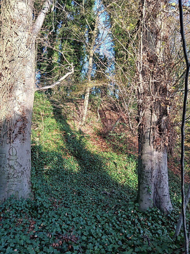
The Lawn, Stafford and Dark Lane collieries were linked underground so that their water could be pumped into three pools, the Razz, Oily and Hanges, which have since merged into Priorslee Flash. The Lawn closed in 1906, and mining in Priorslee was then concentrated at the Woodhouse pits. Pumping at the Lawn continued until the late 1930s, the water carried by channels to the Lilleshall Company's Priorslee furnaces. Its wooded spoil heaps survive on the edge of Priorslee.
Geology
The Shropshire Coal Measures at Priorslee, on the deep side of the coalfield.
Workings
A deep shaft of 900 feet by 1841; linked underground with Stafford and Dark Lane collieries for pumping; served by the Lilleshall Company's mineral railway.
Closure
Closed in 1906; pumping continued until the late 1930s to supply the Priorslee furnaces.
What remains
Wooded spoil heaps survive on the edge of Priorslee; a length of the mineral railway's track is set into the road in Priorslee village.
Related mines
- Dark Lane Colliery — Linked underground for pumping; both Lilleshall Company pits at Priorslee.
- Stafford Colliery, Priorslee — Linked underground with Lawn for pumping; both Lilleshall Company pits at Priorslee.
Nearby mines
- Dark Lane Colliery — 0.1 miles (0.2 km) SW
- Stafford Colliery, Priorslee — 0.3 miles (0.5 km) SE
- Springwell Pit, Dawley — 1.8 miles (2.9 km) SW
- Kemberton Colliery — 2.5 miles (4.0 km) S
- Blists Hill Colliery — 3.0 miles (4.9 km) SW
Straight-line distance, within 9 miles (15 km). Show on the map.
Further reading
Mining at Priorslee, the Lawn's depth in 1841 and its closure.
View sourceThe Lawn Pit, its pumping and the miners' housing of Priorslee.
View sourceSources
- (secondary) Wombridge: Economic history — Victoria County History (British History Online)
- (secondary) Priorslee Community — The Miner's Walk
- (secondary) Dark Lane Colliery — The Miner's Walk
Record created: 3 October 2026 · Last researched: 4 October 2026