 MineArchive
Hopetoun No. 44 Mine
| Also known as | Niddry Mine |
|---|---|
| Location | Beneath Greendykes bing, between Broxburn and Winchburgh, West Lothian — 55.9478, -3.4653 (approximate) |
| Commodity | Oil Shale |
| Type | Mineral |
| Worked | 1909–1916 |
| Operators | Young's Paraffin Light and Mineral Oil Company (1909–1916, owner) — Licensee of the mine's gunpowder store, 1909 (Scottish Shale); owner of the Hopetoun mines (DMM h244) |
Overview
A short-lived Young's Paraffin Company shale mine, also called Niddry Mine, that worked the Broxburn Shales beneath the Hopetoun Oil Works bing from 1909 to 1916; its site now lies buried under Greendykes bing.
History
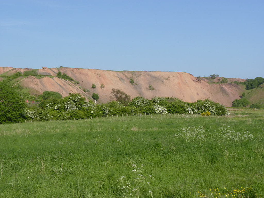
Hopetoun No. 44 Mine, also known as Niddry Mine, was a short-lived working of Young's Paraffin Light and Mineral Oil Company that took Broxburn Shales from beneath the waste bing of its Hopetoun Oil Works, between Broxburn and Winchburgh. The company was licensed under the Explosives Act for a gunpowder store at the mine in October 1909. The Ordnance Survey of about 1916 shows No. 44 at work with the Hopetoun bing encroaching on it from the north.
In 1915 the mine employed 50, 41 of them underground, working the Broxburn, Broxburn Upper, Grey and Main shales. Its workings in the Broxburn Upper, Main and Grey shales were abandoned in 1916. The waste tips of the oil works later spread over the site, which now lies buried between the bings of Greendykes, one of the largest of the shale bings.
Geology
The Broxburn Shales (Upper, Main and Grey) of the Broxburn district, lying beneath the Hopetoun Oil Works bing.
Workings
An inclined adit under the Hopetoun Oil Works bing.
Closure
Workings abandoned in 1916.
What remains
Buried beneath Greendykes bing.
None visible; the site is covered by the bing.
Related mines
- Hopetoun No. 6 (Glendevon) Mines — Both were Young's Paraffin Company mines in the Broxburn Shales supplying Hopetoun Oil Works.
Nearby mines
- Hopetoun No. 5 Pit — 0.5 miles (0.8 km) NW
- Broxburn Oil Works — 0.9 miles (1.5 km) S
- Hopetoun No. 6 (Glendevon) Mines — 1.2 miles (1.9 km) NW
- Hopetoun No. 35 Pit — 1.8 miles (3.0 km) NW
- Roman Camp No. 4 Pit — 2.0 miles (3.2 km) SW
Straight-line distance, within 9 miles (15 km). Show on the map.
Recorded claims
Individual factual claims, each attached to the source(s) that support it below. Where sources disagree, both are kept.
- No. 44, also called Niddry Mine, worked Broxburn Shales from beneath the Hopetoun Oil Works bing. 1
- Young's Paraffin Company was licensed for a gunpowder store at No. 44 in October 1909. 1
- No. 44 employed 50 in 1915. 2
- Its workings in the Broxburn Upper, Main and Grey shales were abandoned in 1916. 1,3
Photographs & further reading
The Museum of the Scottish Shale Oil Industry's page for this mine, with maps, plans, site photographs and newspaper extracts.
View sourceSources
- (secondary) Hopetoun No.44 mine (Scottish Shale, Museum of the Scottish Shale Oil Industry) — Almond Valley Heritage Trust
- (primary) Hopetoun (Oil Shale) (Durham Mining Museum) — Durham Mining Museum
- (primary) BGS mine plan: HOPETOUN NO.44, Broxburn Upper, Main and Grey seams, abandoned 1916 — British Geological Survey / Mining Remediation Authority
Record created: 25 October 2026 · Last researched: 25 October 2026