 MineArchive
Cherry Hinton Pit
| Also known as | Cherry Hinton Chalk Pits, East Pit, Hinton stone quarry |
|---|---|
| Location | Cherry Hinton, Cambridge, Cambridgeshire — 52.1790, 0.1680 (exact) |
| Commodity | Chalk |
| Type | Quarry |
| Worked | By the 13th century–early 1980s |
| Maximum depth | An open chalk pit; no depth applies. |
Overview
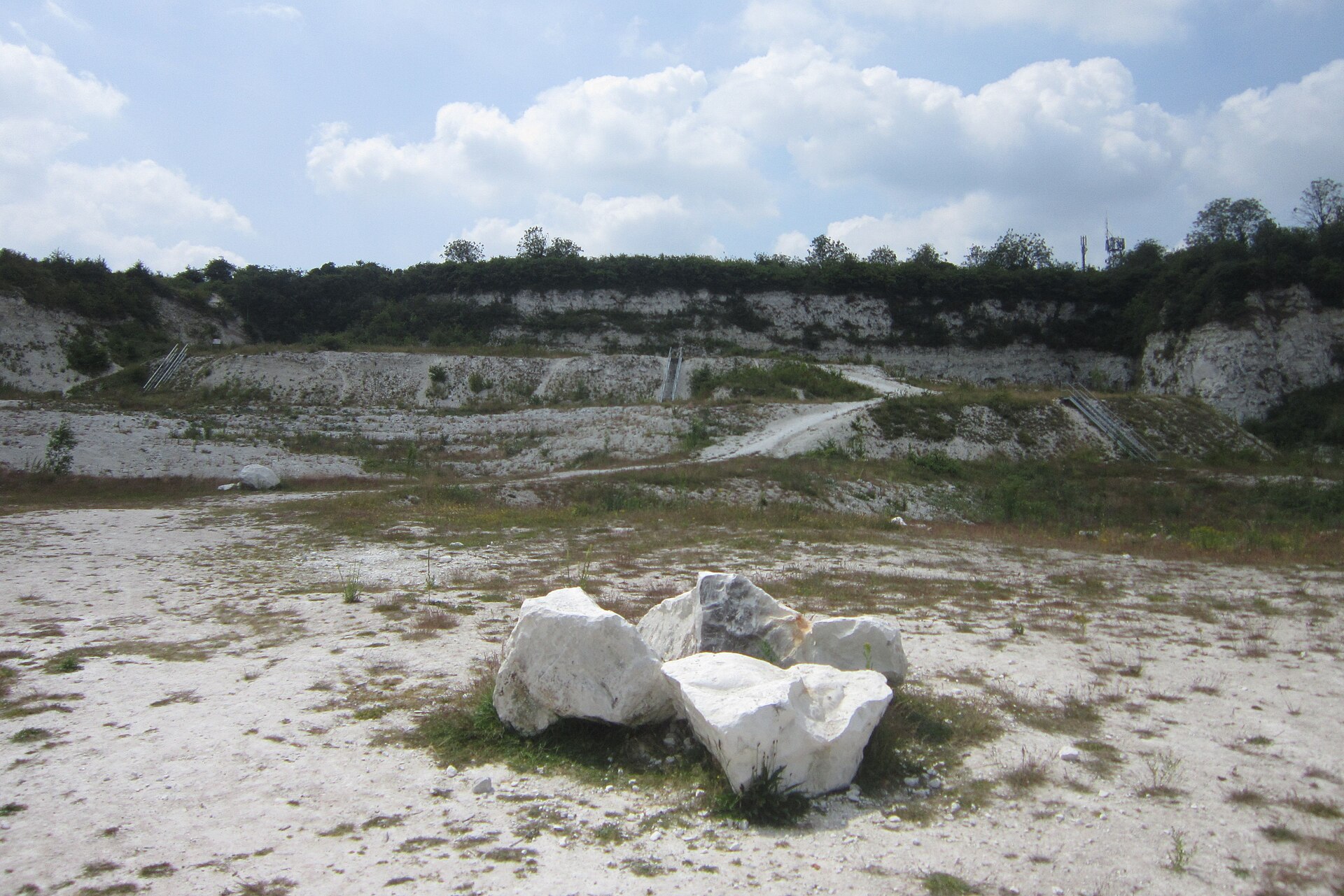
Cherry Hinton Pit is a Site of Special Scientific Interest made up of two chalk quarries — East Pit and West Pit — on the edge of the Gog Magog Hills south-east of Cambridge. Chalk was got here for lime and cement, and the harder bands, particularly the Melbourn Rock, yielded the building stone known as clunch that went into some of the Cambridge colleges from the thirteenth to the fifteenth centuries. King's College had acquired a clunch pit here before 1452. East Pit, the largest, worked until the early 1980s and has been owned by the parish council since 1974; the SSSI was notified in 1985. The pit also cuts through an Iron Age hill fort known as the War Ditches.
History
Quarrying here may go back to Roman times, and it has shaped Cherry Hinton and its surroundings ever since. The stone that made the pits locally famous is clunch — a relatively soft limestone taken from the harder bands within the chalk, such as the Melbourn Rock. Clunch weathers badly outdoors but carves easily and takes paint, so it was used chiefly inside. It was worked here as a building material from the thirteenth to the fifteenth centuries, and 'Hinton stone' appears in the records of several Cambridge colleges: King's College acquired a clunch pit at Cherry Hinton, most probably East Pit, before 1452, and the stone was likely used in the earlier parts of its chapel; the great gateway at Trinity and parts of Peterhouse followed in the late fifteenth century, and the chapel at Corpus Christi in the sixteenth. Alongside the building stone the pits were a major source of lime for mortar and quicklime for agriculture, and from about 1895 until about 1956 chalk and lime went the short distance to cement works in the Coldham's Lane area. East Pit worked on until the early 1980s. In the 1940s the Home Guard used the pit faces to practise scaling cliffs.
Geology
The pits cut the Cretaceous Chalk that underlies much of south-east England, here on the edge of the Gog Magog Hills. There are few other places in Cambridgeshire where so extensive and accessible a section through a sedimentary sequence can be seen, and this is the only site in the county with a clear exposure of the Plenus Marls, allowing the strata above them — the Holywell Nodular Chalk Formation — and below — the Zig Zag Chalk Formation — to be seen together. The Plenus Marls and the overlying Melbourn Rock lie at the base of the White Chalk and can be traced across much of the English Chalk. The average rate of deposition here has been calculated at one centimetre in a thousand years. It was the Melbourn Rock, one of the harder bands, that gave the clunch.
Geological setting: Sedimentary Beds and Seams (well documented example)
Workings
Open chalk quarries worked from the face, East Pit being the largest of the three at Cherry Hinton, with West Pit and Lime Kiln Close adjacent. Lime Kiln Close is of interest for the remains of its old kilns, where much of the chalk was burnt for lime on the spot; the rest went by road to the cement works at Coldham's Lane. Building stone was won selectively from the harder bands rather than from the chalk as a whole.
Closure
East Pit was a working quarry until the early 1980s. It passed to the parish council in 1974 and was notified as a Site of Special Scientific Interest in 1985; the cement works it had supplied at Coldham's Lane had already closed around 1956.
What remains
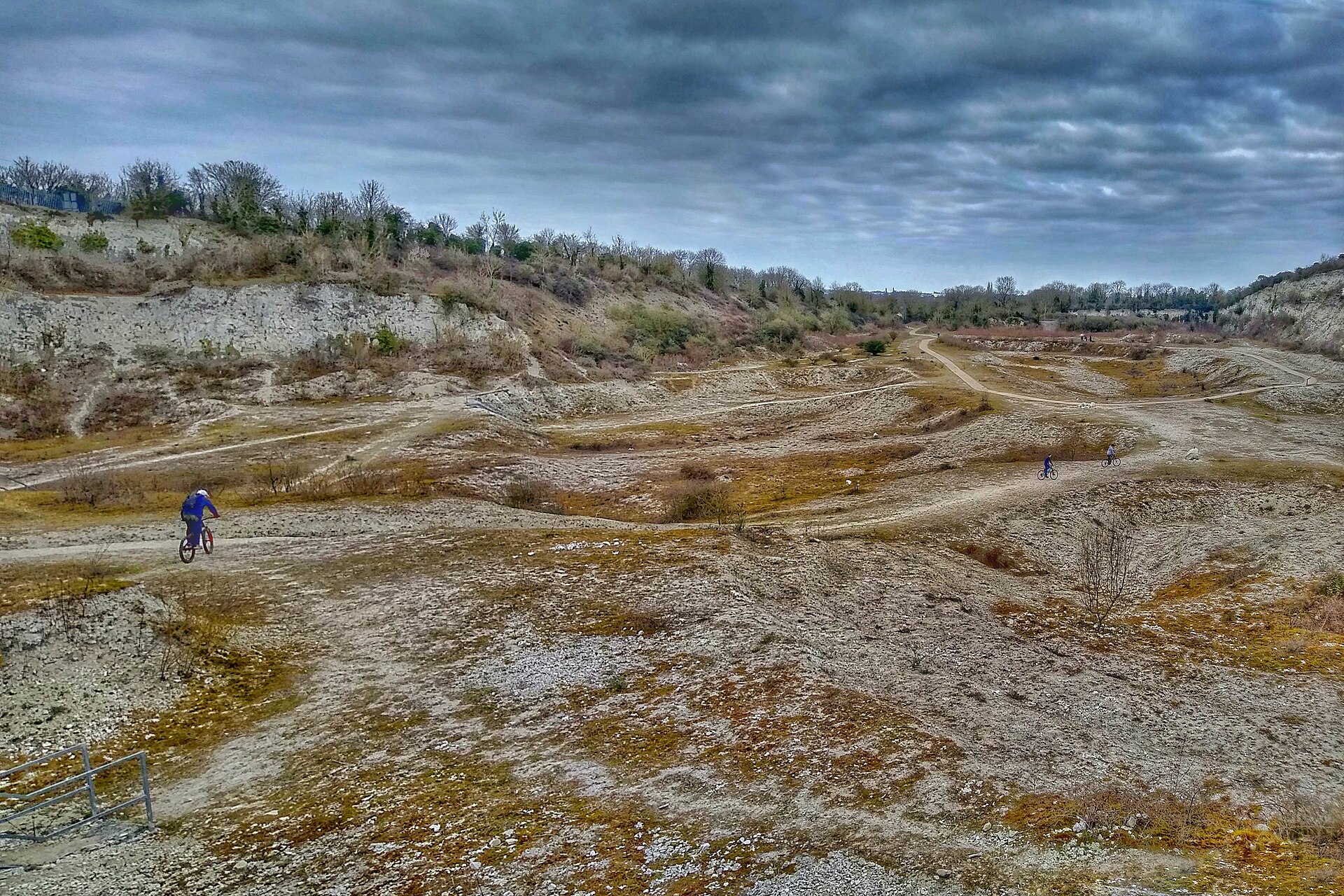
The pits are a Local Nature Reserve and Site of Special Scientific Interest of about 11 hectares, notified for their biological value as chalk grassland as well as their geology, and East Pit was additionally designated a Local Geological Site in February 2016. They support rare plants and insects and are open at all times, with a level surfaced path around part of East Pit. Visitors are warned not to climb the faces and to keep clear of the base of the cliffs because of falling rock.
The quarry faces themselves are the principal survival and are what the designation protects: a long, accessible section through the chalk sequence. The old lime kilns at Lime Kiln Close survive as remains. Cut through by the quarrying is the War Ditches, an Early Iron Age hill fort surrounded by a ditch, excavated in 2009, one of four such forts in the area along with Wandlebury Ring; the archaeological evidence indicates it was destroyed with significant loss of life and abandoned about 380 BC.
Nearby mines
- Barrington Chalk Pit — 6.3 miles (10.1 km) SW
Straight-line distance, within 9 miles (15 km). Show on the map.
Recorded claims
Individual factual claims, each attached to the source(s) that support it below. Where sources disagree, both are kept.
- King's College acquired a clunch pit at Cherry Hinton, likely East Pit, before 1452, and the stone was probably used in the earlier parts of its chapel; the great gateway at Trinity and parts of Peterhouse in the late 15th century, and the chapel at Corpus Christi in the 16th, were also built from 'Hinton stone'. 1
- Clunch obtained from the site was used as a building material from the 13th to the 15th centuries; as a relatively soft stone it weathers easily and was therefore more useful indoors. 1
- Chalk and lime were transported a short distance to the Coldham's Lane area, where cement works operated from about 1895 to about 1956. 1
- This is the only site in Cambridgeshire with a clear exposure of the Plenus Marls, allowing the Holywell Nodular Chalk Formation above and the Zig Zag Chalk Formation below to be viewed together. The average rate of deposition has been calculated at 1 cm in 1,000 years. 1
- East Pit was worked until the early 1980s, has been owned by the parish council since 1974, was designated an SSSI in 1985 and a Local Geological Site in February 2016; the pits form a Local Nature Reserve of about 11 hectares. 1,2
- An Early Iron Age hill fort surrounded by a ditch, known as the War Ditches, lies at the site and was excavated in 2009; the archaeological evidence indicates it was destroyed with significant loss of life before being abandoned in 380 BC. 1
Photographs & further reading
The fullest account of the four pits and what they expose — the only clear Plenus Marls section in the county — together with the documentary trail of Hinton stone into the Cambridge colleges and the story of the War Ditches hill fort the quarrying cut through.
View sourceSources
- (secondary) Cherry Hinton, Cambridge — Cambridgeshire Geological Society
- (secondary) Cherry Hinton Chalk Pits — Wildlife Trust for Bedfordshire, Cambridgeshire and Northamptonshire
Record created: 4 September 2026 · Last researched: 4 September 2026